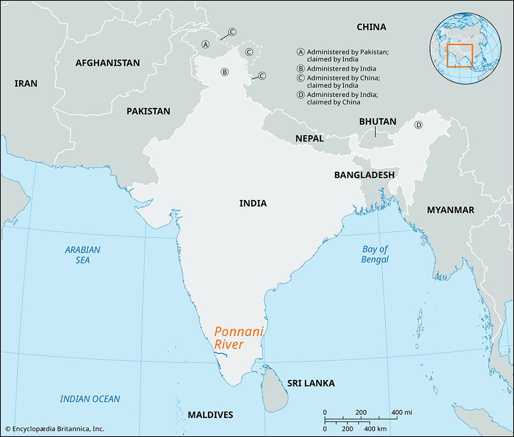
Assiniboine River
The Assiniboine River holds profound historical significance for both Indigenous peoples and early European settlers, serving as a vital geographical and…

What is the historical significance of the Assiniboine River to indigenous peoples and early European settlers?
The Assiniboine River holds profound historical significance for both Indigenous peoples and early European settlers, serving as a vital geographical and cultural artery in Western Canada.
Indigenous Significance
The river is named after the Assiniboine people, whose name translates to “those who cook with hot stones.” Historically, the Assiniboine lived along the river, utilizing the region for hunting buffalo and maintaining a nomadic lifestyle organized into independent bands. The river served as a central corridor for their traditional way of life, facilitating movement and trade before the introduction of horses.12
European Settlement and Trade
For early European settlers and explorers, the river was a critical transportation route. The French voyageur Pierre de La Vérendrye explored the river in 1736 and later established Fort La Reine in 1738. Subsequently, the river became a major thoroughfare for the fur trade, connecting interior regions to broader trade networks. The river’s importance was further cemented by the creation of the District of Assiniboia, which became central to the administration of the Red River Settlement in the 19th century.13
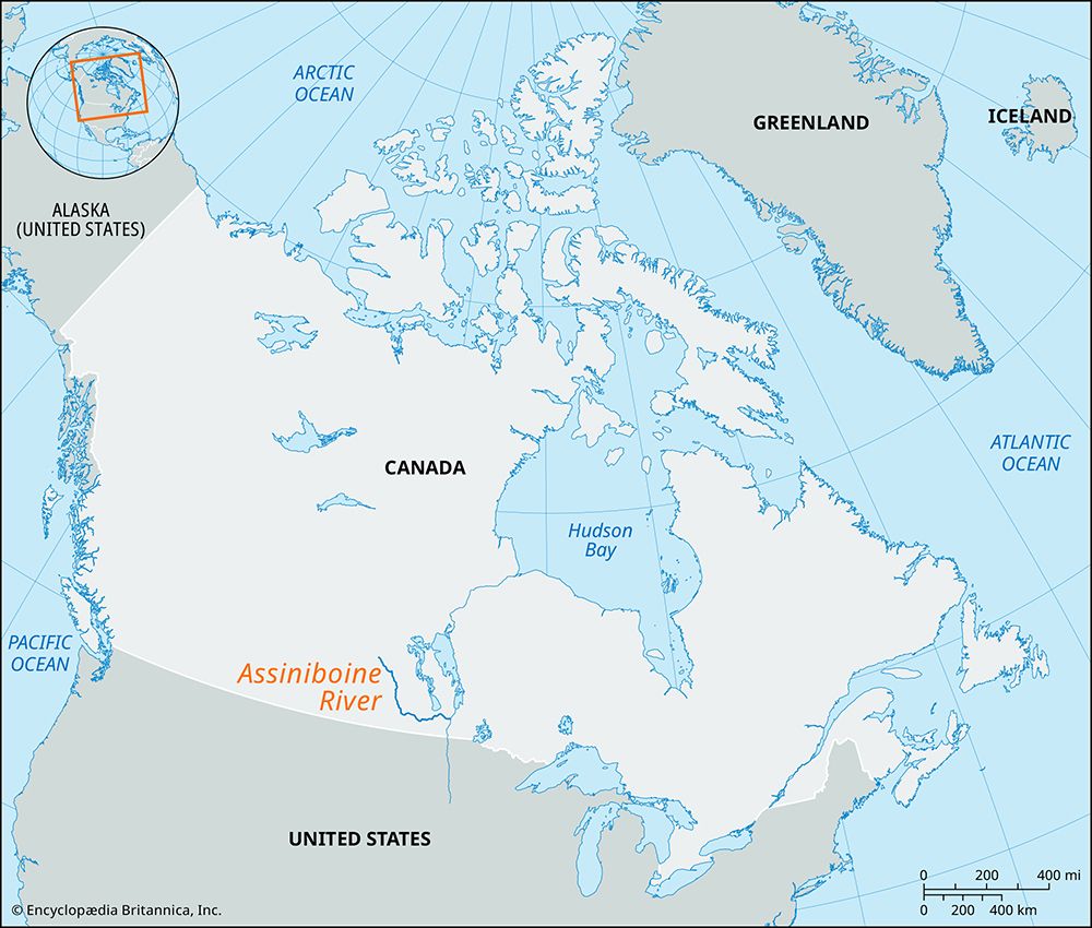
What are the major cities and towns along the Assiniboine River, and how do they utilize the river?
The Assiniboine River flows through southern Saskatchewan and Manitoba, serving as a vital geographical feature that supports several major communities. The primary cities located along its banks include Brandon, Portage la Prairie, and Winnipeg, where the river joins the Red River.1
These communities utilize the river and its surrounding basin in several ways:
- Agricultural Support: The Assiniboine River, along with its tributaries like the Qu’Appelle and Souris rivers, drains one of Canada’s most significant wheat-growing regions.1
- Transportation and Industry: Historically, the river served as a critical route for the fur trade. Today, cities like Brandon leverage their location on the river and proximity to major transportation networks—such as the Trans-Canada Highway and transcontinental railways—to function as regional service and processing centers for products including flour, meat, fertilizers, and chemicals.15
- Research and Education: The river basin supports institutional infrastructure, such as federal agricultural research stations and educational facilities like Brandon University and Assiniboine Community College, which contribute to the regional economy and development.5
How long is the Assiniboine River, and what are its major tributaries?
The Assiniboine River flows for a total distance of 665 miles (1,070 km) from its source in eastern Saskatchewan to its confluence with the Red River at Winnipeg, Manitoba.1
The river is supported by two primary tributaries that are essential to the drainage of the region’s significant wheat-growing areas:
What role does the Assiniboine River play in Manitoba’s water management and flood control?
The provided search results do not contain information regarding the specific role of the Assiniboine River in Manitoba’s water management and flood control systems.
Sorry, the Britannica knowledge base does not contain this information.
Sources
- Assiniboine River — Encyclopædia Britannica
- Assiniboin — Encyclopædia Britannica
- Assiniboia — Encyclopædia Britannica
- Assiniboine — Merriam-Webster
- Native American - The Red River crisis and the creation of Manitoba — Encyclopædia Britannica
- Brandon — Encyclopædia Britannica
Published on · 2 min read