Lake Pielinen
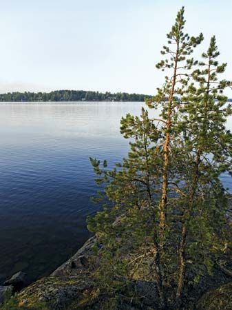
Lake Pielinen is a large lake situated in eastern Finland, positioned near the border with Russia.
What is Lake Pielinen?
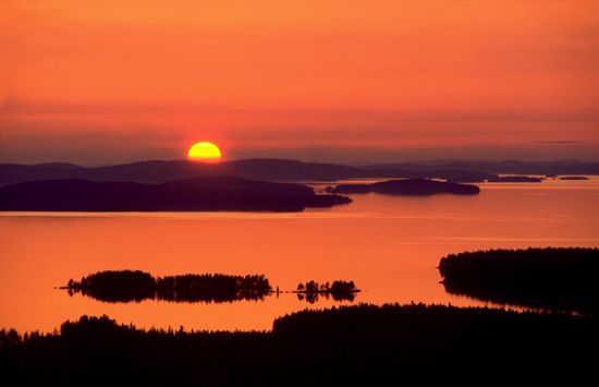
Lake Pielinen is a large lake situated in eastern Finland, positioned near the border with Russia.1
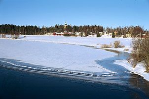
Spanning approximately 60 miles (100 km) in length and covering an area of 335 square miles (868 square km), the lake is characterized by its numerous islands and its drainage into the Saimaa lake system via the Pielis River. The surrounding landscape is defined by dense forests, most notably along the rugged western shore where Koli hill rises to 1,138 feet (347 meters). This area serves as a significant hub for winter sports, and the lake remains accessible through ferry services in the summer and an ice road during the colder months.1
What makes Koli National Park a popular destination?
Koli National Park is a popular destination primarily due to its location on the scenic and rugged western shore of Lake Pielinen in eastern Finland.
The park is centered around Koli hill, which rises to an elevation of 1,138 feet (347 meters). This prominent landmark offers striking views of the surrounding dense forests and the expansive lake. Beyond its natural beauty, the area is recognized as a significant hub for winter sports, attracting visitors throughout the year. Accessibility is further enhanced by seasonal transport options, including ferry services during the summer and an ice road that connects the area during the winter months.1
How do ice roads work on frozen lakes?
Ice roads on frozen lakes function by utilizing the natural ice formation process that occurs when lake water cools to its freezing point (0° C, or 32° F). As the surface water reaches this temperature, it solidifies, creating a barrier that prevents energy exchange between the cold air above and the warmer water below. This allows the ice to thicken over time, providing a stable surface capable of supporting weight.2
While these roads are essential for transportation in cold climates, they are distinct from infrastructure built on permafrost. Unlike ice roads, which rely on the seasonal freezing of water, roads constructed over permafrost face significant challenges, including subsidence during summer thaws and frost heaving in winter, which require constant maintenance to remain functional.3
What is the Saimaa lake system?
The Great Saimaa lake system, located in southeastern Finland, is the largest lake system in the country, covering an area of approximately 1,690 square miles (4,377 square km).4
Key characteristics of the system include:
- Composition: It comprises about 120 lakes along with numerous rivers and streams, which collectively drain most of southeastern Finland.4
- Geography: The system features two main branches extending northward for about 220 miles (350 km) from Lappeenranta to Iisalmi in the west and Nurmes in the east.4
- Economic and Transport Importance: The system serves as a vital transportation network for the region’s major towns. The regional economy is heavily supported by lumbering and pulp and paper manufacturing. Additionally, large hydroelectric-power stations are situated in the southern part of the system, particularly at Imatra.4
- Connectivity: The system drains into the Gulf of Finland via the Vuoksi River and the Saimaa Canal, which was originally built in 1856 to provide a link to the sea.45
The region is well-known for its scenic landscape of water, hills, and forests, which serves as a significant draw for tourism.4
Sources
- Lake Pielinen — Encyclopædia Britannica
- ice in lakes and rivers - Changes in temperature structure — Encyclopædia Britannica
- permafrost - Highways and railroads — Encyclopædia Britannica
- Lake Saimaa — Encyclopædia Britannica
- canals and inland waterways - Major inland waterways of Europe — Encyclopædia Britannica
Published on · 2 min read