Kokemäen River
The Kokemäen River is a river located in southwestern Finland. Originating from Lake Pyhä, the river flows for approximately 90 miles (145 km) in a…
What is Kokemäen River?
The Kokemäen River is a river located in southwestern Finland. Originating from Lake Pyhä, the river flows for approximately 90 miles (145 km) in a southwesterly and then northwesterly direction before emptying into the Gulf of Bothnia near the city of Pori. To support energy needs, the river has been dammed for hydroelectric power generation.1
How is hydroelectric power generated from rivers?
Hydroelectric power is generated by converting the potential energy of water into mechanical energy and finally into electricity. The process typically involves the following steps:2
- Collection: A dam is used to impound a river, creating a reservoir that stores water at a higher elevation. The vertical distance between this stored water and the lower elevation is known as the head is known as the head.3
- Conveyance: Water is directed downward through large pipes or tunnels called penstocks toward a powerhouse located at a lower elevation.2
- Generation: The force of the falling water rotates turbines. These turbines are connected to generators, which convert the mechanical rotation into electrical energy.2
- Transmission: Transformers increase the voltage of the generated electricity to make it suitable for long-distance transmission.2
While this process provides a renewable energy source, it is important to acknowledge the significant ethical and environmental concerns associated with large-scale dams, including the displacement of human communities, the loss of cultural heritage, and the disruption of aquatic ecosystems and fish migration patterns.23
What are the main characteristics of the Gulf of Bothnia?
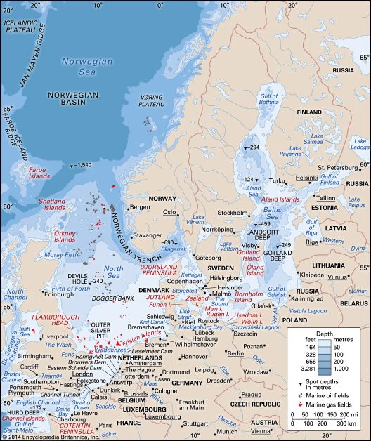
The Gulf of Bothnia is the northernmost arm of the Baltic Sea, situated between Sweden to the west and Finland to the east. It is geographically divided into the northern Bay of Bothnia and the southern Bothnian Sea.567
Key characteristics include:
- Dimensions: The gulf covers approximately 45,200 square miles (117,000 square km), extending 450 miles (725 km) north to south. It is relatively shallow, with an average depth of about 200 feet (60 meters) and a maximum depth of 965 feet (295 meters).5
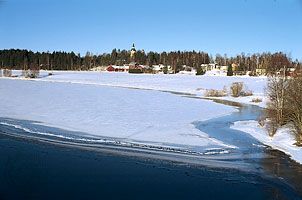
- Salinity and Ice: Due to the influx of numerous rivers, such as the Torne and Oulu, the water has extremely low salinity. This low salt content causes the gulf to remain ice-covered for up to five months during the winter.5
- Navigation and Economy: The area is characterized by many small islands, which can make navigation challenging. Major ports include Pori, Vaasa, Luleå, and Sundsvall. The surrounding region is rich in forest resources, supporting a significant sawmill industry.5
What is the geography of Finland’s lake district?
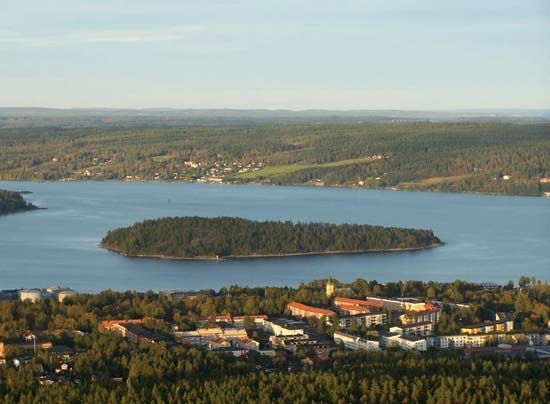
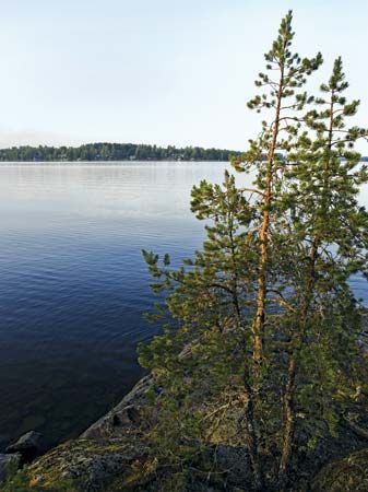
Finland’s lake district is a defining feature of the country’s landscape, which, when viewed from above, resembles an intricate blue and green jigsaw puzzle. This region is characterized by a high density of inland waters, which occupy nearly one-tenth of Finland’s total area.1011
Key geographical features include:
- Abundance of Water: The region contains tens of thousands of lakes, including major systems like Lake Saimaa, Lake Päijänne, and Lake Pielinen. These lakes are generally shallow, with only three in the entire country exceeding 300 feet (90 meters) in depth.11
- Glacial Influence: The landscape was significantly shaped by Ice Age glaciation. The retreating continental glaciers left behind morainic deposits, including eskers—winding ridges of sand and gravel—and the Salpausselkä ridges, which form a prominent arc across southern Finland.10
- Terrain: The area is heavily forested, and relief features are relatively uniform, often limiting visibility to the immediate vicinity of the trees. The underlying structure is a worn-down Precambrian shield composed primarily of granite.10
Sources
- Kokemäen River — Encyclopædia Britannica
- Did you know? — Merriam-Webster
- hydroelectric power — Encyclopædia Britannica
- dam - Rise of environmental and economic concerns — Encyclopædia Britannica
- Gulf of Bothnia — Encyclopædia Britannica
- Bothnian Sea — Encyclopædia Britannica
- Sweden - Drainage — Encyclopædia Britannica
- Bay of Bothnia — Encyclopædia Britannica
- Baltic Sea - Climate — Encyclopædia Britannica
- Lake Saimaa — Encyclopædia Britannica
- Finland - Drainage and soils — Encyclopædia Britannica
- Finland - Land — Encyclopædia Britannica
- Finland - Relief — Encyclopædia Britannica
- lake - Problems and effects — Encyclopædia Britannica
Published on · 3 min read