Akademii Nauk Range
The Akademii Nauk Range is a mountain range situated in the western Pamirs of central Tajikistan. Extending north-south for approximately 68 miles (110 km)…
What is Akademii Nauk Range?
The Akademii Nauk Range is a mountain range situated in the western Pamirs of central Tajikistan. Extending north-south for approximately 68 miles (110 km), the range is primarily composed of sedimentary and metamorphic rocks, along with deposits of granite.1
The landscape is characterized by significant glaciation, with permanent snowcaps covering an area of 580 square miles (1,500 square km). The range is home to the highest peak in Tajikistan, Imeni Ismail Samani Peak, which reaches an elevation of 24,590 feet (7,495 meters). In total, the range features 24 peaks exceeding 19,700 feet (6,000 meters). The mountains were named in 1927 to honor the Academy of Sciences of the Soviet Union.1
What are the Pamir Mountains?
The Pamirs are a vast highland region in Central Asia, primarily located within the Gorno-Badakhshan autonomous province of Tajikistan, with fringes extending into Afghanistan, China, and Kyrgyzstan. The area centers on the “Pamir Knot,” a nodal orogenic uplift from which several major mountain ranges radiate, including the Hindu Kush, the Karakoram Range, the Kunlun Mountains, and the Tien Shan.2
The region is physically divided into two distinct areas:
- Eastern Pamirs: Characterized by high-altitude, medium-mountain relief with wide, flat-bottomed valleys and undulating grasslands (the term pamir refers to these high pastures).23
- Western Pamirs: Defined by high-mountain, sharply disjointed terrain featuring deep, narrow ravines, alpine ridges, and significant glaciation.3
Geologically, the Pamirs are composed of three zones containing diverse rock formations, including metamorphic rocks, limestone, and sandstone. The climate is arid and continental, marked by frigid winters and dry summers. Historically, the region served as a crossroads for the Silk Road and later became a site of geopolitical maneuvering between the Russian and British empires.456
How do glaciers shape high mountain ranges?
Glaciers are powerful agents of landscape transformation, drastically reshaping high mountain ranges through intense erosion and deposition. While rivers typically carve narrow, V-shaped valleys, glaciers widen and deepen these features into characteristic U-shaped valleys by scouring the bedrock along the base and lower sidewalls.8
Key landforms created by glacial activity include:
- Cirques: Amphitheatre-shaped hollows formed at the heads of glacial valleys. These often contain small lakes known as tarns.8
- Arêtes: Sharp, knife-edge ridges left between parallel glacial valleys or opposing cirques.8
- Horns: Jagged, pyramid-shaped peaks formed when multiple cirques erode a mountain’s flanks, leaving behind steep, vertical cliffs.8
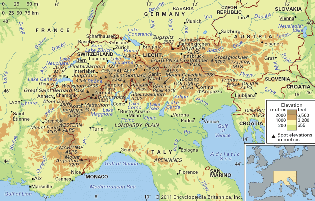
Glaciers erode the landscape by incorporating rock debris into their ice, which then acts as a tool to abrade and polish the underlying bedrock. Beyond erosion, glaciers also shape the environment through the deposition of sands and gravels as they melt, which can create more fertile soils in valley floors. This ongoing process of glacial sculpting has defined the dramatic, rugged topography seen in ranges like the Alps.](https://www.britannica.com/place/Alps/Physical-features#ref34383).89
What is the significance of Imeni Ismail Samani Peak?
Imeni Ismail Samani Peak is a significant geographical landmark located in the Akademii Nauk Range of the western Pamirs in northeastern Tajikistan.1011
Its primary significance includes:
- Highest Elevation: At 24,590 feet (7,495 meters), it serves as the highest point in both Tajikistan and the Akademii Nauk Range.1011
- Mountaineering History: The peak is a notable site in the history of high-altitude climbing. It was first successfully ascended by a Russian team in 1933.101
- Nomenclature: The mountain has undergone several name changes reflecting the region’s political history, having been previously known as Stalin Peak and Communism Peak before receiving its current name.111
The peak stands as a prominent feature within a range that contains 24 other summits exceeding 19,700 feet (6,000 meters), highlighting the extreme topography of the Pamir region.11
Sources
- Akademii Nauk Range — Encyclopædia Britannica
- Pamirs — Encyclopædia Britannica
- Pamirs - Geology of Pamirs — Encyclopædia Britannica
- Pamirs - Study and exploration — Encyclopædia Britannica
- Pamirs - Physiography — Encyclopædia Britannica
- Pamirs - Climate — Encyclopædia Britannica
- Pamirs - Plant life — Encyclopædia Britannica
- glacial landform - Cirques , tarns, U-shaped valleys, arêtes, and horns — Encyclopædia Britannica
- Alps - Geology — Encyclopædia Britannica
- Imeni Ismail Samani Peak — Encyclopædia Britannica
- mountaineering - History — Encyclopædia Britannica
Published on · 3 min read