Balaghat Range
The Balaghat Range acts as a significant geographical divide in western Maharashtra, serving as the watershed between the Godavari River to the north and the…
How does the Balaghat Range influence the local climate and ecosystem?
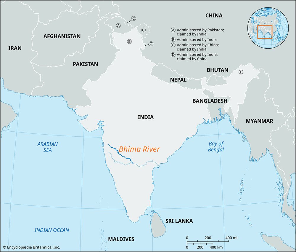
The Balaghat Range acts as a significant geographical divide in western Maharashtra, serving as the watershed between the Godavari River to the north and the Bhima River to the south.1
The range’s influence on the local ecosystem is primarily defined by a distinct east-west climatic gradient:
- Western Region: Characterized by higher elevations (1,800 to 2,700 feet), this area experiences more rainfall, which supports the growth of vegetation across the hills.1
- Eastern Region: As the hills diminish in height and the saddles between them widen, the climate becomes drier. Consequently, the landscape transitions into a barren and stony environment.1
Human activity throughout the range is largely shaped by these conditions, with shepherds utilizing the hills and small villages connected by sheep trails. Please note that the town of Balaghat in Madhya Pradesh is a distinct location and should not be confused with this mountain range.12
What are the main physical characteristics of the Balaghat Range?
The Balaghat Range is a series of hills located in western Maharashtra, India, characterized by the following physical features:
- Extent and Orientation: The range originates in the Western Ghats at the Harishchandra Range and extends southeast for approximately 200 miles (320 km) toward the border of Karnataka.1
- Dimensions: The width of the range varies between 3 and 6 miles (5 to 9 km).1
- Elevation and Topography: The hills are higher in the west, reaching elevations of 1,800 to 2,700 feet (550 to 825 meters), and gradually diminish in height toward the east. They are defined by flat tops and are separated by saddles that grow progressively wider as they approach the Bhima River.1
- Hydrological Role: The range serves as a critical watershed, separating the Godavari River to the north from the Bhima River to the south.1
How does the Balaghat Range impact the local culture and economy of the surrounding regions?
The Balaghat Range exerts a distinct influence on the culture and economy of the regions it traverses in western Maharashtra.
Because the range is characterized by flat-topped hills and varying environmental conditions—ranging from vegetated, rainier western slopes to barren, stony eastern terrain—human activity is adapted to these physical constraints:
- Economic Livelihoods: The range is primarily utilized by shepherds who occupy the hills, relying on the landscape for grazing. The small villages scattered throughout the range are linked by a network of sheep trails, reflecting a traditional, pastoral-based economy.1
- Connectivity: Despite the rugged terrain, the range serves as a corridor for regional infrastructure. It is traversed by a major highway connecting Pune and Nashik, as well as a railway line running from Dhond to Manmad, which facilitates movement across the Deccan plateau.1
- Cultural Landmarks: The landscape is dotted with occasional hilltop temples, which serve as focal points for local cultural and religious life.1
It is important to distinguish this range from the town of Balaghat in Madhya Pradesh, which is a separate urban center known for manganese mining and agricultural trade.2
Are there any protected areas or national parks within the Balaghat Range?
The provided information regarding the Balaghat Range does not contain details about the existence of protected areas or national parks within this specific hill system.
The available data focuses on the range’s physical geography, its role as a watershed, and its use by local shepherds, but it does not mention any designated conservation zones or wildlife sanctuaries.1
Sources
- Balaghat Range — Encyclopædia Britannica
- Balaghat — Encyclopædia Britannica
- India - Inland regions — Encyclopædia Britannica
- Maikal Range — Encyclopædia Britannica
Published on · 3 min read