Atrato River
The Atrato River is a significant waterway located in northwestern Colombia. It originates in the western slopes of the Andes' Cordillera Occidental and…
What is Atrato River?
The Atrato River is a significant waterway located in northwestern Colombia. It originates in the western slopes of the Andes’ Cordillera Occidental and flows northward, eventually emptying into the Gulf of Urabá in the Caribbean Sea.1
Although the river is relatively short at 416 miles (670 km), it is notable for its massive water discharge, which exceeds 175,000 cubic feet (5,000 cubic meters) per second. This high volume of water carries a substantial amount of sediment, which is actively filling the gulf. The river is navigable by small boats as far upstream as Quibdó, and its lower reaches have historically been studied as a potential route for a transisthmian canal.1
What makes the Atrato River basin so biodiverse?
The high biodiversity of the Atrato River basin is primarily driven by the region’s complex environmental conditions, which include a unique intersection of climate, topography, and soil characteristics.2
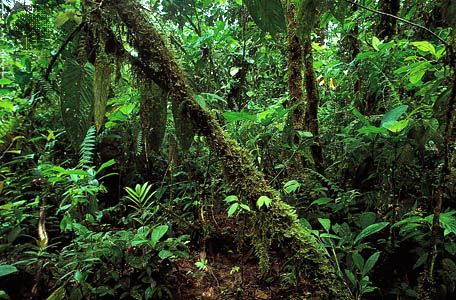
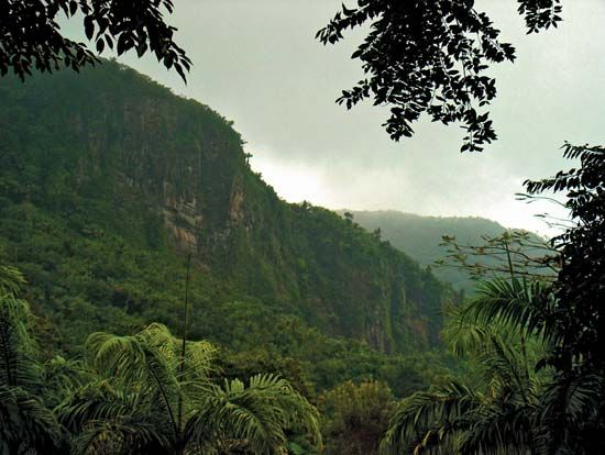
The basin is part of the broader Chocó region, a hot and humid area defined by extensive tropical rainforests, mangrove swamps, and low mountain ranges that feature cloud forest vegetation. This environment experiences exceptionally high annual rainfall, which supports a vast array of plant communities and specialized wildlife habitats.32
The region’s biological richness is evidenced by:
- Flora: The landscape supports diverse plant life, including lianas, mosses, orchids, and bromeliads, as well as economically significant species like the giant American bamboo.2
- Fauna: The forests host a wide variety of animals, such as jaguars, pumas, sloths, various monkey species, and large tropical rodents like capybaras. The area is also home to an extremely diverse bird population, including over 1,500 species, and numerous reptiles, such as caimans and crocodiles.23
Why has the Atrato River been considered for a canal route?
The Atrato River has been considered a feasible route for a transisthmian canal primarily due to its geography and navigability. Its location in northwestern Colombia provides a natural waterway that flows northward toward the Gulf of Urabá and the Caribbean Sea.
The river’s lower reaches are navigable by small boats as far upstream as Quibdó, which historically suggested that the river could serve as a significant segment of a canal connecting the Atlantic and Pacific oceans. Despite its relatively short length of 416 miles (670 km), the river’s massive water discharge and position across the isthmus have made it a subject of interest for engineers and planners seeking to facilitate maritime transit.1
What are the main mountain ranges in Colombia?
The landscape of Colombia is dominated by the Andean cordillera, which branches into three distinct, parallel ranges north of the border with Ecuador at the Pasto Massif.56
The Three Andean Ranges
- Cordillera Occidental: The westernmost and lowest of the three, this range runs parallel to the Pacific coast and acts as a barrier between the coast and the Cauca River valley.56
- Cordillera Central: Serving as the backbone of the system, this is the highest range. It is characterized by numerous volcanoes, including Mount Huila and the Ruiz-Tolima complex.56
- Cordillera Oriental: The longest and widest of the ranges, it branches off from the Cordillera Central and features high plateaus known as sabanas, including the Sabana de Bogotá.56
Other Notable Ranges
- Santa Marta Mountains: An isolated, fault-bounded granitic massif near the Caribbean coast. While not geologically part of the Andes, it contains the highest peaks in the country, Cristóbal Colón and Simón Bolívar.56
- Baudó Mountains: A smaller range located on the Pacific coast, separated from the Andes by the Atrato River valley.5
- La Macarena Mountains: An isolated, forested range rising from the eastern lowlands.5
Sources
- Atrato River — Encyclopædia Britannica
- Colombia - Plant and animal life — Encyclopædia Britannica
- Chocó — Encyclopædia Britannica
- Darién — Encyclopædia Britannica
- Colombia - Relief — Encyclopædia Britannica
- Andes Mountains - Physiography of the Northern Andes — Encyclopædia Britannica
- Sierra Nevada de Santa Marta — Merriam-Webster
Published on · 3 min read