Baḥr al-ʿArab
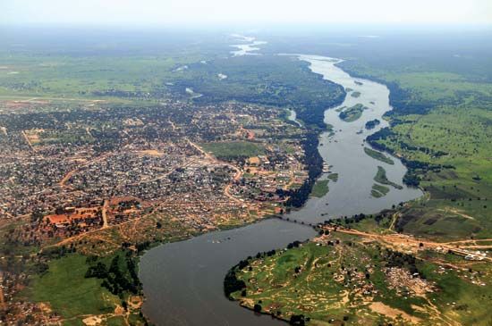
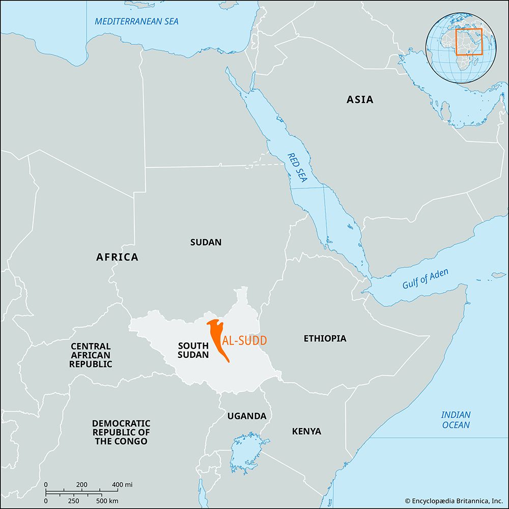
Baḥr al-ʿArab is an intermittent river located in southwestern Sudan. It originates northeast of the Tondou (Bongo) Massif, near the border of the Central…
What is Baḥr al-ʿArab?
Baḥr al-ʿArab is an intermittent river located in southwestern Sudan. It originates northeast of the Tondou (Bongo) Massif, near the border of the Central African Republic.1
The river flows for approximately 500 miles (800 km) in an east-southeast direction before joining the Baḥr al-Ghazāl—a tributary of the Nile River—at Ghābat al-ʿArab in South Sudan. Because it is an intermittent waterway, it is not navigable and experiences significant flooding during the summer months.1
How does the Bahr al-Arab connect to the Nile River system?
The Baḥr al-ʿArab connects to the Nile River system by serving as a tributary to the Baḥr al-Ghazāl.1
The river flows approximately 500 miles (800 km) in an east-southeast direction from its source near the Tondou (Bongo) Massif to join the Baḥr al-Ghazāl at Ghābat al-ʿArab in South Sudan. The Baḥr al-Ghazāl, in turn, flows into the Al-Jabal River (also known as the Mountain Nile) at Lake No, which is a major component of the White Nile system.12
However, it is important to note that the waters of the Baḥr al-Ghazāl system undergo extensive loss through evaporation within the region’s swamps and lagoons, meaning only a small proportion of the water from this drainage basin actually reaches the main Nile stream.2
What makes the Bahr al-Ghazal region unique?
The Baḥr al-Ghazāl region is unique primarily due to its complex hydrology and its role within the Nile River system. Several factors distinguish this area:
- Massive Catchment Area: The river possesses a vast catchment area of 328,750 square miles (851,459 square km), extending as far west as the Central African Republic and the Democratic Republic of the Congo.4
- Hydrological Loss: Despite its size, the region is characterized by significant water loss. As the river passes through the swamps of Al-Sudd, evaporation and transpiration are so intense that the seasonal discharge into Lake No is drastically reduced, sometimes reaching zero.4
- Distinct Topography: The tributaries of the Baḥr al-Ghazāl cut through the Ironstone Plateau before transitioning into the expansive, level clay plain that defines the region.4
- Formation of the White Nile: The river serves as the chief western affluent of the Nile. It joins the Mountain Nile at Lake No, where the combined flow continues eastward as the White Nile.4
How do seasonal floods impact life in southwestern Sudan?
In southwestern Sudan, the impact of seasonal floods on daily life is defined by the region’s unique hydrological patterns and the traditional practices of its inhabitants. Unlike the predictable, silt-depositing floods of the main Nile, the rivers in the southwest often do not reach the Baḥr al-Ghazāl system consistently, making reliance on the river less absolute due to significant local rainfall.678
For pastoralist groups such as the Dinka and Nuer, life is dictated by the seasonal flow of the water. These communities engage in a migratory cycle, moving their herds from the river’s shores during the dry season to higher ground during the wet season to avoid the flooding of the plains.9
While basin irrigation—a method historically used to capture floodwaters and silt—is practiced in some parts of the Nile system, it is less effective in the southwest. The terrain is more uneven, and the area inundated by floods varies significantly from year to year, leading many to shift toward the use of mechanical pumps for agriculture.8
Sources
- Baḥr al-ʿArab — Encyclopædia Britannica
- Nile River - Climate and hydrology — Encyclopædia Britannica
- Nile River - Physiography of Nile River — Encyclopædia Britannica
- Baḥr al-Ghazāl — Encyclopædia Britannica
- Bahr al-Ghazal — Merriam-Webster
- Sudan - Drainage and soils — Encyclopædia Britannica
- Nile River - People — Encyclopædia Britannica
- South Sudan - Drainage and soils — Encyclopædia Britannica
- Nile River - Irrigation — Encyclopædia Britannica
Published on · 2 min read