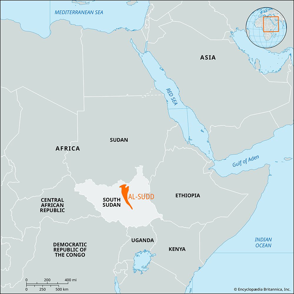
Baḥr al-Jabal
Baḥr al-Jabal, also known as the Mountain Nile or Al-Jabal River, is the section of the Nile River that flows between Nimule, near the border of Uganda, and…
What is Baḥr al-Jabal?
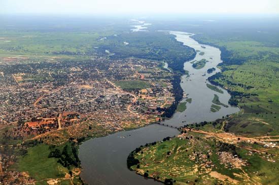
Baḥr al-Jabal, also known as the Mountain Nile or Al-Jabal River, is the section of the Nile River that flows between Nimule, near the border of Uganda, and Malakal in South Sudan.12
Spanning approximately 594 miles (956 km), this stretch of the river is characterized by its passage through narrow gorges and a series of rapids, including the Fula Rapids. Below Juba, which serves as the head of navigation, the river enters a vast, level clay plain. Due to the river’s gentle gradient, the area becomes heavily inundated during the rainy season, fostering the growth of dense aquatic vegetation—primarily papyrus—that forms the enormous swamp region known as Al-Sudd.12
At Lake No, the Baḥr al-Jabal receives the Baḥr al-Ghazāl and subsequently turns east to join the Sobat River. Beyond this confluence, the river is referred to as the White Nile1.2
What is the significance of the Al-Sudd swamp to the Nile’s water flow?
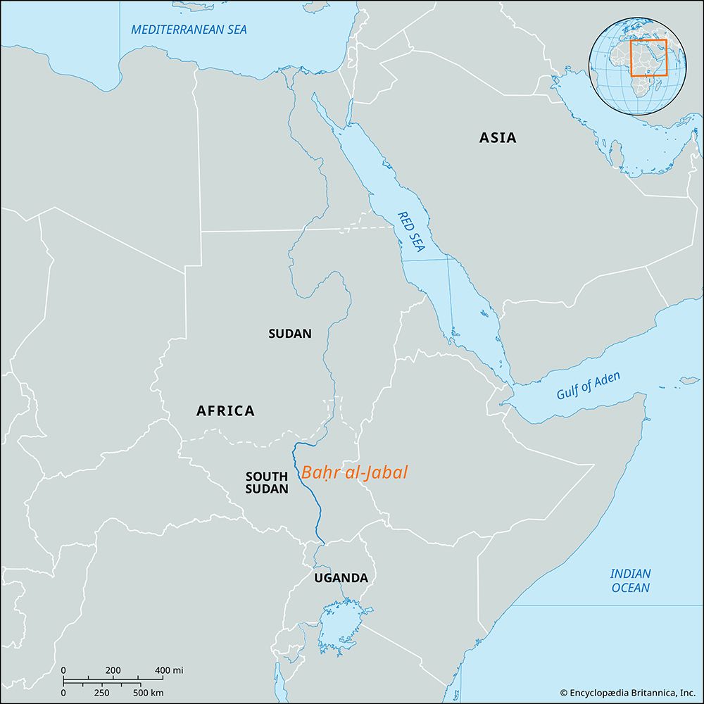
The Al-Sudd swamp region plays a critical role in the hydrology of the Nile River by acting as a natural regulator of the Al-Jabal River’s flow.3
Its significance to the river’s water flow includes the following:
- Flow Regulation: Because the Al-Sudd consists of vast, level plains with a very gentle gradient, the river’s discharge varies little throughout the year. The region’s extensive network of swamps and lagoons absorbs excess water during the rainy season, effectively smoothing out the river’s flow and preventing the extreme fluctuations seen in other tributaries.34
- Water Loss: The region is a site of significant water loss. More than half of the Al-Jabal’s water is lost within the Sudd due to high rates of evaporation and seepage into the surrounding clay plains.23
- Vegetation Impact: The growth of dense aquatic vegetation, such as papyrus, water hyacinth, and tall grasses, further slows the movement of water, exacerbating the evaporation process and creating an impenetrable barrier to navigation.24
While the Sobat River joins the main stream just upstream of Malakal and nearly compensates for the water lost in the marshes, the Sudd remains a defining feature of the Nile’s hydrological regime.34
How do the White Nile and Blue Nile differ in their seasonal flow?
The White Nile and the Blue Nile differ significantly in their hydrological regimes and seasonal contributions to the Nile River system.4
The White Nile
The White Nile is characterized by a relatively constant, steady flow throughout the year. Its stability is largely due to the regulatory effect of the Al-Sudd region, where vast swamps and lagoons absorb excess water and smooth out fluctuations.42
- Sources: It draws water from the East African Plateau and the drainage of southwestern Ethiopia via the Sobat River.4
- Seasonal Role: During the dry season (April and May), when the main river level is at its lowest, the White Nile provides more than 80 percent of the water in the main stream.4
The Blue Nile
In contrast, the Blue Nile is a highly seasonal river with a pronounced flood period caused by summer monsoon rains over the Ethiopian Plateau.42
- Flood Regime: The river level begins to rise in June, reaching its maximum at Khartoum in early September. This rapid runoff is responsible for the majority of the annual Nile floodwaters that historically reached Egypt.45
- Impact: When the Blue Nile is in flood, its surge is so powerful that it can hold back the White Nile’s water, creating a ponding effect that temporarily delays the White Nile’s flow.4
What are the major cataracts of the Nile and how do they affect navigation?
The Nile River features six famous cataracts between Khartoum and the Egyptian border, which are caused by outcropping crystalline rocks that cross the river’s course. These cataracts significantly impact navigation by creating series of rapids that prevent the river from being completely navigable.6
The major cataracts and their navigational effects include:
- Sixth Cataract: Located at Sablūkah, this is the highest of the cataracts and marks a point where the river cuts through hills.6
- Fourth Cataract: Situated in the middle of an S-bend between Abū Ḥamad and Al-Dabbah.6
- Third Cataract: Located near Dongola, where the river resumes a northerly direction.6
- Second Cataract: Now largely inundated by Lake Nasser.6
- First Cataract: Located immediately below the Aswan High Dam, this was historically an area of rock-strewn rapids that partially obstructed the river’s flow.6
Because of these obstacles, the river is navigable in Sudan only in three distinct stretches: from the Egyptian border to the south end of Lake Nasser, the stretch between the third and fourth cataracts, and the long reach from Khartoum southward to Juba. While sections between the cataracts remain navigable by sailing vessels and river steamers, the cataracts themselves break the continuity of the waterway.26
Sources
- Baḥr al-Jabal — Encyclopædia Britannica
- Nile River - Physiography of Nile River — Encyclopædia Britannica
- Al-Sudd — Encyclopædia Britannica
- Nile River - Climate and hydrology — Encyclopædia Britannica
- Blue Nile River — Encyclopædia Britannica
- Aswan High Dam — Encyclopædia Britannica
- Nile River - Navigation — Encyclopædia Britannica
Published on · 4 min read