Campidano
The Campidano is a narrow, low-lying plain located in southwestern Sardinia, Italy. Stretching approximately 70 miles (110 km) inland from the Gulf of…
What is Campidano?
The Campidano is a narrow, low-lying plain located in southwestern Sardinia, Italy. Stretching approximately 70 miles (110 km) inland from the Gulf of Oristano, it serves as a geographical divide between the island’s southwestern Iglesiente highland and the larger Eastern Highlands.1
Historically, the area was a malarial swamp until 1946, when extensive drainage projects and shifts in land use along the Flumini Mannu river transformed it into a fertile and populous region. Today, it is a significant agricultural hub known for producing cereal grains, olives, almonds, vegetables, fruit, and grapes for wine. Major cities in the region include Terralba and the provincial capital, Oristano.1
How did the drainage of the malarial swamps change life in Sardinia?
The drainage of the malarial swamps in the Campidano region, which began in 1946, fundamentally transformed the area from an inhospitable, disease-ridden environment into a thriving, productive landscape. By addressing the stagnant water along the Flumini Mannu river, these efforts effectively eliminated the breeding grounds for malaria-carrying mosquitoes, which had long hindered human settlement and health in the region.1
This environmental reclamation enabled a shift in land use that turned the previously swampy terrain into a highly fertile and populous region. Today, the area serves as a vital agricultural hub for Sardinia, supporting the cultivation of cereal grains, olives, almonds, vegetables, fruit, and grapes for wine. The success of these drainage projects allowed for the growth of significant urban centers, including the provincial capital of Oristano and the town of Terralba, thereby permanently altering the demographic and economic trajectory of southwestern Sardinia.1
What are the main geographical features of the island of Sardinia?
Sardinia is the second-largest island in the western Mediterranean, situated 120 miles west of the Italian mainland. Geologically, it is a remnant of a Hercynian block, with a landscape dominated by mountains composed of granite and schist.23
Key Geographical Features
- Mountainous Relief: The island’s highest point is Mount La Marmora (6,017 feet), located in the Gennargentu massif. Eastern highlands, including Gallura, Goceano, Nuoro, and Sarrabus, are primarily composed of Carbo-Permian granites.2
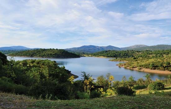
- Rivers: The island’s rivers are generally short and rapid. The Tirso and Flumendosa are the most significant, with the Tirso flowing through Lake Omodeo to the Gulf of Oristano.24
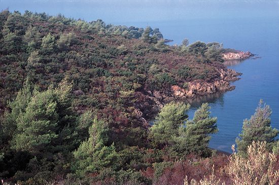
- Vegetation: Much of the uncultivated countryside is covered by macchia, a scrub of dwarf oaks, myrtle, lentisk, and cistus. Coastal areas feature salt-loving vegetation and marshes.2
- Climate: The island experiences a subtropical Mediterranean climate, with annual precipitation varying from 24 inches on the plains to 39 inches in the mountains.2
What role does the Flumini Mannu river play in the region’s agriculture?
The Flumini Mannu river plays a critical role in the agricultural productivity of the Campidano plain in southwestern Sardinia. Historically, the region surrounding the river was a malarial swamp, which severely limited human settlement and land use until 1946.6
Following extensive drainage efforts and the implementation of new land-use patterns along the river’s course, the area was transformed into a highly fertile and populous agricultural hub. Today, the region supported by the river is essential for the production of several key crops, including:6
- Cereal grains
- Olives
- Almonds
- Vegetables
- Fruit
- Grapes for wine6
These developments turned a previously inhospitable landscape into the primary agricultural center of the region, sustaining significant urban centers such as Oristano and Terralba.6
Sources
- Campidano — Encyclopædia Britannica
- Sardinia - Geography — Encyclopædia Britannica
- Sardinia — Encyclopædia Britannica
- Tirso River — Encyclopædia Britannica
- Sardinia - The contemporary island — Encyclopædia Britannica
- Flumendosa River — Encyclopædia Britannica
Published on · 3 min read