Des Moines River
The principal tributaries of the Des Moines River are the East Fork and the Raccoon River.
What are the major tributaries of the Des Moines River?
The principal tributaries of the Des Moines River are the East Fork and the Raccoon River.1
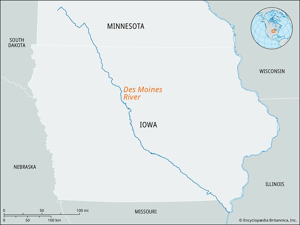
What is the geographical location and course of the Des Moines River?
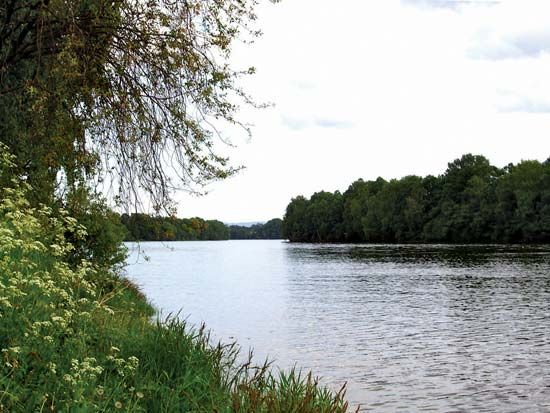
The Des Moines River originates at Lake Shetek in southwestern Minnesota, near Pipestone. It flows for 525 miles (845 km) in a southeasterly direction across Iowa before emptying into the Mississippi River approximately 2 miles (3 km) southwest of Keokuk.1
The river’s course features several distinct characteristics:
- Naming: Above Humboldt, Iowa, the river is referred to as the West Fork.1
- Boundary: For the final 25 miles (40 km) before its confluence with the Mississippi, the river forms the border between Iowa and Missouri.1
- Geography: The river descends 1,375 feet (419 meters) over its length and drains a basin of 15,807 square miles (40,940 square km).1
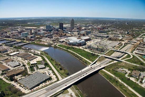
- Urban Centers: Major cities located along its banks include Estherville, Fort Dodge, Des Moines, and Ottumwa.1
How long is the Des Moines River, and what states does it flow through?
The Des Moines River is 525 miles (845 km) long. It flows through the states of Minnesota, Iowa, and Missouri, serving as the boundary between Iowa and Missouri for the final 25 miles of its course before it joins the Mississippi River.1
How has the Des Moines River been utilized for human activities throughout history?
The Des Moines River has served as a vital resource for human activity throughout the region’s history, transitioning from a natural corridor for early inhabitants to a center for industrial and agricultural development.
Early History and Settlement
Long before Euro-American settlement, the river valley was home to Native American populations, including Siouan and Algonquian-speaking tribes. In 1843, Fort Des Moines was established at the confluence of the Des Moines and Raccoon rivers to protect the rights of the Sauk and Fox peoples, though the area was opened to settlers shortly thereafter in 1845.14
Commerce and Industry
From the late 1830s until the end of the American Civil War, the river functioned as the primary artery of commerce for central Iowa. Its power was harnessed extensively between 1840 and 1890, during which time 80 mills were constructed along its banks to grind grain. However, the rise of railroads in the 1860s eventually led to a decline in river-based commercial traffic.1
Flood Control and Modern Use
To mitigate the impact of severe flooding, the U.S. Army Corps of Engineers authorized the construction of the Red Rock and Saylorville dams in 1958. While these structures are essential for flood protection, they also serve as important sites for recreation, particularly boating.5
Sources
- Des Moines River — Encyclopædia Britannica
- Iowa - Drainage — Encyclopædia Britannica
- Des Moines — Merriam-Webster
- Iowa - Early history — Encyclopædia Britannica
- Des Moines — Encyclopædia Britannica
- Iowa - Climate of Iowa — Encyclopædia Britannica
- Iowa - Transportation — Encyclopædia Britannica
Published on · 2 min read