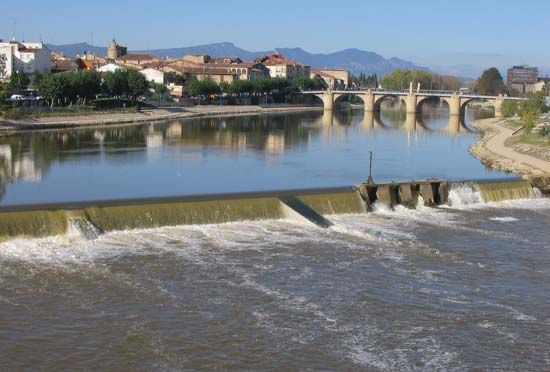
Douro River
The Douro River offers significant tourism and cultural opportunities, particularly in northern Portugal. The region is world-famous for its port wine, and…
What recreational activities and tourism opportunities are available along the Douro River?
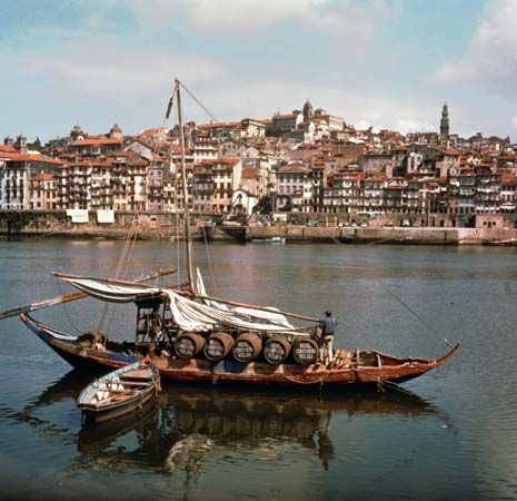
The Douro River offers significant tourism and cultural opportunities, particularly in northern Portugal. The region is world-famous for its port wine, and visitors can explore the historic warehouses in Vila Nova de Gaia where the wine is blended and stored.12
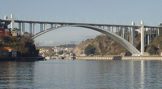
The city of Porto, located near the river’s mouth, serves as a primary hub for tourism. Its historic center is a UNESCO World Heritage site, featuring notable landmarks such as the cathedral, the Gothic Church of São Francisco, and the iconic Dom Luís I Bridge. Travelers can also visit various cultural institutions, including the Soares do Reis National Museum and a contemporary concert hall designed by Rem Koolhaas.2
While the river has historically been used for barge traffic to transport wine, the area remains a vital center for tourism and commerce. The river’s scenic landscape, characterized by its transition from gorges and rapids to the fertile plains near the coast, provides a unique backdrop for exploring the region’s rich history and viticulture.12
What is the historical significance of the Douro River in terms of trade and transportation?
The Douro River has historically served as a vital artery for trade and transportation in the Iberian Peninsula, primarily facilitating the movement of goods in northern Portugal. Its most significant historical role has been the transport of port wine from the interior production regions to the warehouses in Vila Nova de Gaia, near the river’s mouth. Additionally, the river has supported the transport of coal from Pedorido to Porto.1
Navigating the river has historically been challenging due to its steep descent and deep gorges, particularly along the border with Spain, where the river drops significantly through rapids. To overcome these natural barriers and improve navigability, the river has been engineered with locks built into five dams, allowing for passage from near Porto to the Spanish frontier. Furthermore, because the river mouth is silted, the artificial port of Leixões was developed to handle maritime traffic. Since the 1930s, the river’s utility has expanded beyond transport to include hydroelectric power generation and irrigation.13
What are some of the main tributaries of the Douro River and their importance?
The Douro River’s drainage system is primarily fed by tributaries originating in the wetter northern regions of the Iberian Peninsula. The major tributaries of the Douro River include:
- Esla: A significant northern tributary that contributes to the river’s flow within Spain.1
- Pisuerga: Another major northern tributary that helps drain the catchment area.1
- Arlanzón: A key northern tributary that flows into the Douro system.1
These northern tributaries are considered the most important because they originate in a wetter climate zone, providing a more consistent water supply compared to the southern tributaries, which are less significant to the river’s overall volume.1
In the southern region of the historical province of Trás-os-Montes, the valleys formed by the upper Douro and its various tributaries create the Terra Quente region. This area is essential for viticulture, where modern vinification techniques are used to produce port wine.4
Where is the Douro River located, and what countries does it flow through?
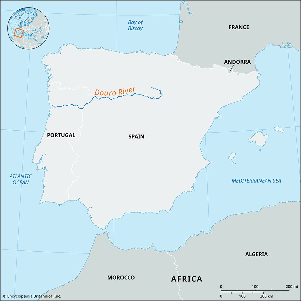
The Douro River (known as the Duero in Spanish) is located in the Iberian Peninsula of southwestern Europe. It rises in the Sierra de Urbión in north-central Spain and flows generally westward for 556 miles (895 km) across Spain and northern Portugal before emptying into the Atlantic Ocean at Foz do Douro.15
For a 70-mile (113-km) stretch, the river forms part of the international border between Spain and Portugal. Throughout its course, it traverses diverse landscapes, including the Numantian Plateau and the broad plains of Old Castile, before cutting through deep gorges and rapids as it approaches the Portuguese border.1
Sources
- Douro River — Encyclopædia Britannica
- Porto — Encyclopædia Britannica
- Portugal - Drainage — Encyclopædia Britannica
- Trás-os-Montes — Encyclopædia Britannica
- Douro — Merriam-Webster
Published on · 3 min read