Falémé River
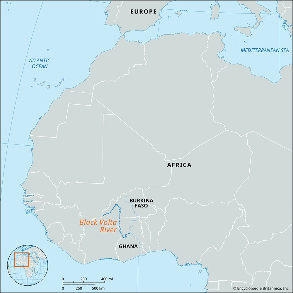
The Falémé River is a 250-mile (400 km) long river located in western Africa. It originates in the uplands of northern Guinea, east of the Fouta Djallon…
What is Falémé River?
The Falémé River is a 250-mile (400 km) long river located in western Africa. It originates in the uplands of northern Guinea, east of the Fouta Djallon massif, and flows in a north-northeasterly direction into Mali.1
The river subsequently turns northwest, serving as the border between Mali and Senegal for the remainder of its course before joining the Sénégal River near the town of Bakel. Although the river is interrupted by rapids, it remains partially navigable between July and September. The river’s basin is characterized by high rainfall and the presence of alluvial gold. Major settlements along its banks include Satadougou in Mali and Kidira in Senegal.12
What is the Fouta Djallon plateau and why is it important for rivers?
The Fouta Djallon is a mountainous region located in west-central Guinea. It consists of a series of stepped sandstone plateaus that cover approximately 30,000 square miles (77,000 square km), with an average elevation of 3,000 feet (914 meters) and a peak at Mount Loura reaching 5,046 feet (1,538 meters).3
Importance as a Watershed
The region is critically important as the primary watershed for many of western Africa’s most significant rivers. Its central plateau serves as the source for several major waterways, including:
- The Gambia River
- The Bafing (Sénégal) River
- The Koliba River
- The Kolenté (Great Scarcies) River
- The Kaba (Little Scarcies) River
- The Konkouré River3
Additionally, the eastern slopes of the Fouta Djallon feed various tributaries of the Niger River, and its southeastern extension, the Guinea Highlands, contains the actual source of the Niger itself.3
How does the Senegal River contribute to the economy of the region?
The Sénégal River serves as a vital economic artery for Mali, Mauritania, and Senegal, primarily through its contributions to agriculture, energy production, and regional cooperation.
Agriculture and Irrigation
The river’s alluvial valley, particularly between Bakel and Dagana, is the most densely populated and productive agricultural area in the region. Farmers utilize the annual flood cycle to cultivate crops such as millet, rice, and vegetables. To mitigate the risks of drought and improve yields, large-scale irrigation projects have been implemented. For example, the Diama Dam prevents saltwater intrusion in the delta, while the Manantali Dam in Mali provides essential water for newly irrigated lands, supporting both crop production and livestock pasture.
Energy and Infrastructure
The river is a significant source of hydroelectric power. Joint projects between Mali, Mauritania, and Senegal have led to the construction of hydroelectric stations at Diama and Manantali, which provide more affordable energy compared to traditional thermal plants. Additionally, the river facilitates local transportation via shallow-draft boats, connecting various river ports.
Regional Cooperation
Since 1972, the Organization for the Development of the Sénégal River has managed these resources cooperatively, ensuring that the river’s potential for irrigation, power, and navigation is developed for the collective benefit of the member nations.
What are some other major rivers in West Africa?
In addition to the Sénégal River and the Niger River—the latter being the third longest in Africa—West Africa features several other significant river systems:6
- Volta River: The chief river system of Ghana, it is formed by the confluence of the Black Volta and White Volta rivers, which rise in the plateaus of Burkina Faso. The river system spans 1,000 miles (1,600 km) and includes Lake Volta, one of the world’s largest artificial lakes, created by the Akosombo Dam.7
- Benue River: The longest tributary of the Niger, the Benue rises in northern Cameroon. It is a vital waterway for transporting imports like petroleum and exports such as cotton and peanuts.8
- Gambia River: Originating in the Fouta Djallon highlands of Guinea, this river flows northwestward through Senegal and The Gambia before reaching the Atlantic Ocean.9
Other notable rivers in the region include the Saint Paul River in Liberia and the Moa River in Sierra Leone, both of which drain the forest regions of the coast.9
Sources
- Falémé River — Encyclopædia Britannica
- Sénégal River — Encyclopædia Britannica
- Fouta Djallon — Encyclopædia Britannica
- Senegal - Agriculture, forestry, and fishing — Encyclopædia Britannica
- Senegal - Resources and power — Encyclopædia Britannica
- Volta River — Encyclopædia Britannica
- Guinea - Drainage and soils — Encyclopædia Britannica
- Benue River — Encyclopædia Britannica
- Niger River - Physiography — Encyclopædia Britannica
- Niger River — Encyclopædia Britannica
- Niger River - People and economy — Encyclopædia Britannica
- Niger River - Transportation — Encyclopædia Britannica
- Bafing River — Encyclopædia Britannica
Published on · 3 min read