Benue River
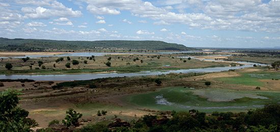
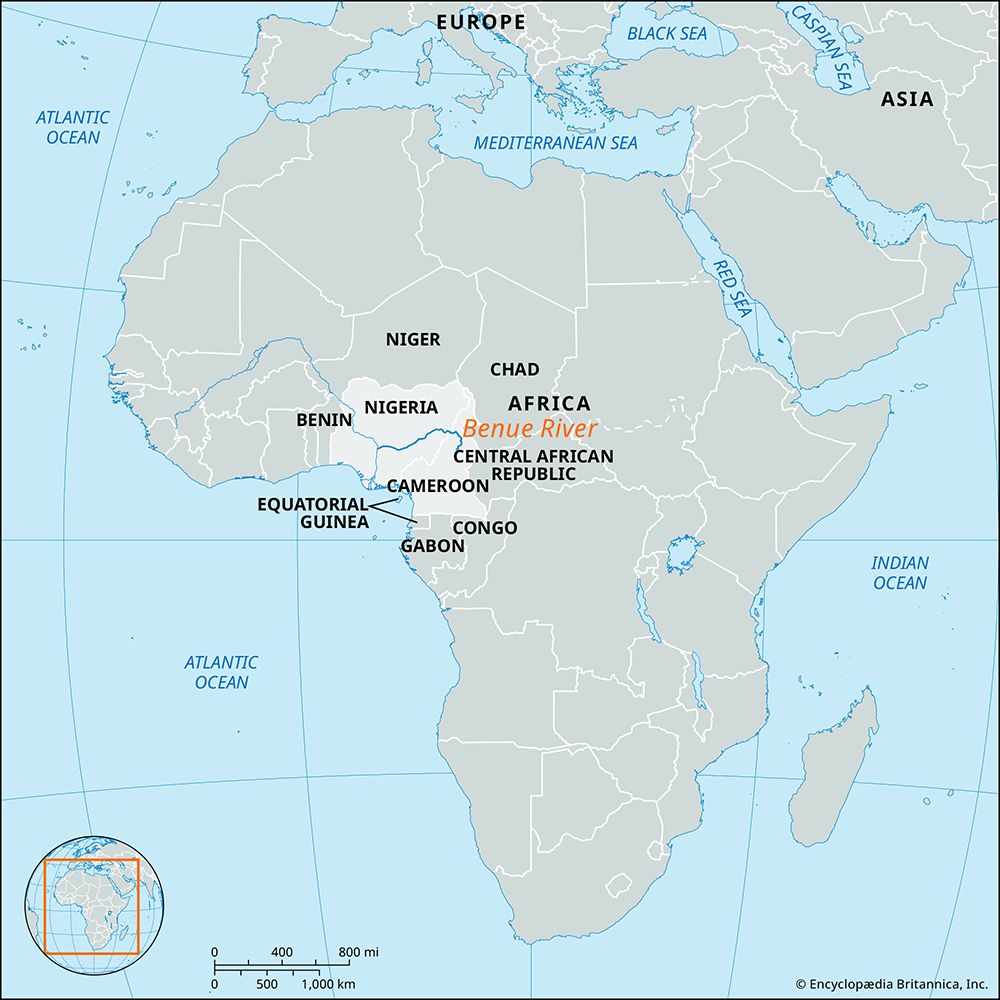
The Benue River is the longest tributary of the Niger River, flowing through Cameroon and Nigeria.
Are there any major dams or hydroelectric projects on the Benue River, and what are their impacts?
The Benue River is the longest tributary of the Niger River, flowing through Cameroon and Nigeria.1
While there are no major hydroelectric dams specifically identified as being located directly on the main course of the Benue River in the provided records, the river is utilized for large-scale irrigation schemes in Nigeria, which have been developed since the 1960s. These projects are part of broader efforts to transform the Niger valley and its tributaries into productive agricultural corridors for crops such as rice, cotton, and sugarcane.2
Unlike the Niger River, which hosts major hydroelectric infrastructure like the Kainji Dam, the Benue’s course is largely uninterrupted by such large-scale power projects. The river remains a vital waterway for transport, particularly for petroleum imports and agricultural exports, though its navigability is often constrained by seasonal water levels and a sandbar at its confluence with the Niger.12
What role does the Benue River play in transportation and commerce in the area?
The Benue River serves as a vital artery for transportation and commerce in western Africa. Below the Mayo-Kebbi tributary, the river is navigable year-round for smaller boats, while larger vessels can utilize the waterway during specific periods. It facilitates the transport of a significant volume of imports, particularly petroleum, and serves as a route for exporting agricultural products like cotton and peanuts from the Chad region.1
The river also plays a critical role in supporting the navigation of the Niger River. The influx of water from the Benue helps maintain sufficient levels for large vessels to travel between Onitsha and the confluence of the two rivers for ten months of the year.3
Despite its importance, commerce faces logistical challenges. A sandbar at the confluence with the Niger restricts water depth during minimal flow, often delaying traffic at Lokoja, Nigeria. Furthermore, the region relies on infrastructure such as the railway bridge at Makurdi, which serves as the river’s chief port, and various road bridges and ferries that connect local markets.34
How long is the Benue River, and what are its major tributaries?
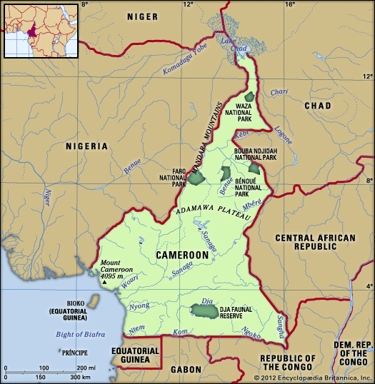
The Benue River is approximately 673 miles (1,083 km) in length. It originates in northern Cameroon on the Adamawa Plateau and serves as the longest tributary of the Niger River.11
The river is fed by several significant tributaries, including:
- Gongola River: Identified as the Benue’s most important tributary, joining it near Numan.51
- Mayo-Kebbi: A notable tributary that links the Benue to the Logone River during flood periods.5
- Other tributaries: The river system also includes the Faro, the Donga, the Katsina Ala, and the Shemankar.1
Where is the Benue River located in Africa, and what countries does it flow through?
The Benue River is located in western Africa. It rises on the Adamawa Plateau in northern Cameroon and flows westward into Nigeria, where it eventually joins the Niger River at Lokoja.14
Sources
- Benue River — Encyclopædia Britannica
- Niger River - Irrigation — Encyclopædia Britannica
- Niger River - Transportation — Encyclopædia Britannica
- Benue — Encyclopædia Britannica
- Niger River - Physiography — Encyclopædia Britannica
Published on · 2 min read