Hilton Head Island
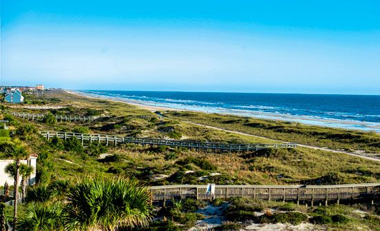
Hilton Head Island is a prominent coastal destination in South Carolina, distinguished as the largest barrier island between New Jersey and Florida. While it…
How does Hilton Head Island compare to other popular coastal destinations in South Carolina?
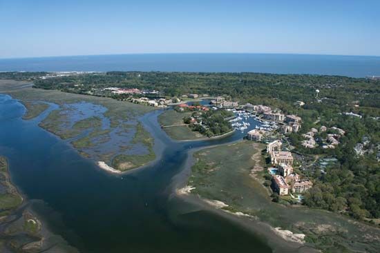
Hilton Head Island is a prominent coastal destination in South Carolina, distinguished as the largest barrier island between New Jersey and Florida. While it shares the status of a major tourism and recreation hub with other coastal areas like Charleston and Myrtle Beach, its development trajectory is unique.12
Unlike the historic urban center of Charleston or the broader metropolitan growth seen elsewhere, Hilton Head was developed primarily as a planned resort and residential community following the construction of a bridge to the mainland in 1956. It offers a specific suite of amenities, including 12 miles of beach, extensive golf courses, marinas, and tennis facilities. Furthermore, the island holds significant cultural importance due to the Gullah people, whose heritage remains a vital part of the region’s history. While other coastal sites serve as major commercial ports or urban centers, Hilton Head remains focused on its identity as a specialized resort destination.13
What is the population of Hilton Head Island, and how does it change during peak tourist seasons?
According to the 2010 census, the population of Hilton Head Island was 37,099, an increase from the 33,862 residents recorded in 2000.1
While the provided data confirms the permanent resident population, it does not contain specific statistics regarding the seasonal fluctuations in population caused by tourism. As a planned resort and residential community, the island experiences significant influxes of visitors throughout the year, but the exact numbers for these peak seasons are not available in the current knowledge base.1
What is the geographical location and size of Hilton Head Island?
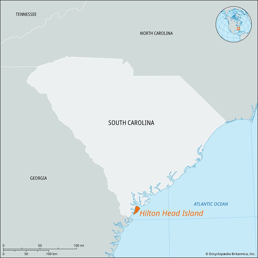
Hilton Head Island is located in Beaufort County, in the southern portion of South Carolina, United States. It is situated along the Atlantic Intracoastal Waterway, positioned just south of Port Royal Sound. As part of the Sea Islands chain, it holds the distinction of being the largest coastal island located between New Jersey and Florida.1
Regarding its physical dimensions, the island is approximately 12 miles (19 km) long and reaches a maximum width of 5 miles (8 km).1
How did Hilton Head Island get its name, and what is its historical significance?
Hilton Head Island is named after the English sea captain William Hilton, who sighted the island’s prominent headlands in 1663.1
The island holds significant historical importance, beginning with its development as a plantation economy in 1717. Planters initially cultivated indigo and rice, later shifting to cotton after the American Revolution. This era was defined by the labor of enslaved Africans, whose descendants—the Gullah people—developed a distinct culture and creole language due to the relative isolation of the Sea Islands.15
During the American Civil War, the island became a strategic site for Union forces, who occupied it in 1861 and utilized it as a critical fueling station for ships blockading the Confederate coast. Following the war, the island remained a site of Gullah heritage until the mid-20th century, when the construction of a bridge in 1956 and the arrival of electricity in 1957 paved the way for its transformation into a major resort and residential community.1
Sources
- Hilton Head Island — Encyclopædia Britannica
- South Carolina - Transportation — Encyclopædia Britannica
- South Carolina - Settlement patterns — Encyclopædia Britannica
- Sea Islands — Encyclopædia Britannica
- Gullah — Encyclopædia Britannica
Published on · 2 min read