Lanai
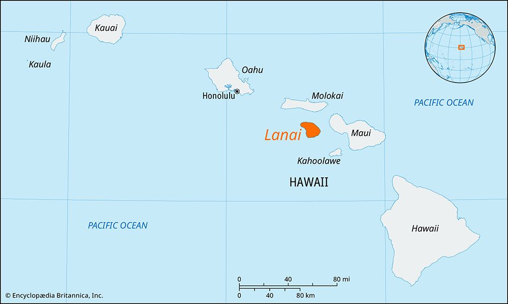
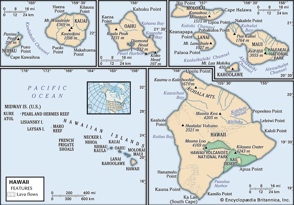
Lanai is the sixth-largest island in the Hawaiian chain and is located in Maui county, Hawaii. Formed by the extinct volcano Lanaihale, the island spans 140…
What is Lanai?
Lanai is the sixth-largest island in the Hawaiian chain and is located in Maui county, Hawaii. Formed by the extinct volcano Lanaihale, the island spans 140 square miles and is notable for being the largest privately owned island in the state.1
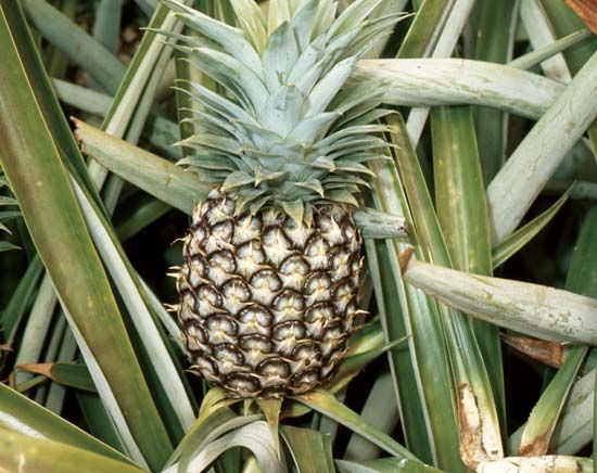
Historically, the island was used for cattle grazing before being purchased by the Dole Corporation in 1922 to serve as a massive pineapple plantation1. Following a transition in management, the island shifted toward luxury tourism and residential development. In 2012, the island’s holdings were purchased by Larry Ellison, cofounder of Oracle Corporation.1
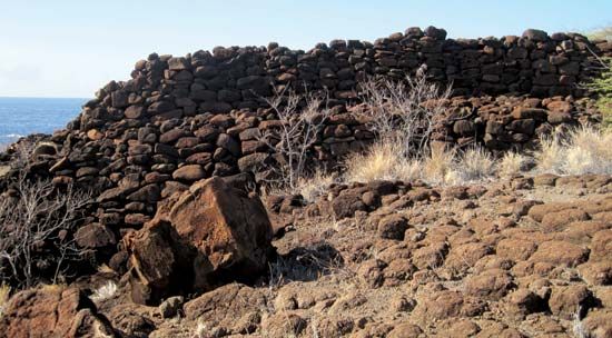
The island features significant cultural sites, including the 15th-century village of Kaunolu—a national historical landmark and former retreat for King Kamehameha I—and the 18th-century Luahiwa petroglyphs. Its principal settlement is Lanai City, which was originally established to house plantation employees.1
How did the pineapple industry shape Lanai’s history?
The pineapple industry was the primary catalyst for the modernization and settlement of Lanai. Before 1922, the island was used primarily for cattle grazing, but its character changed fundamentally when the Dole Corporation purchased the island to establish what would become the largest pineapple plantation in the United States.1
This industrial shift directly shaped the island’s infrastructure and demographics:
- Urban Development: The principal settlement, Lanai City, was established in 1922 specifically to house the plantation’s employees.1
- Economic Transition: The plantation model dominated the island’s economy for decades until 1961, when Castle & Cooke, Inc. assumed management. This transition marked the beginning of the island’s pivot away from agriculture toward luxury tourism, golf courses, and residential development.1
- Ownership Patterns: The consolidation of land for the plantation laid the groundwork for the island’s unique status as a largely privately owned entity, a trend that continued through its eventual sale to Larry Ellison in 2012.1
What are the significance of the Luahiwa petroglyphs?
The Luahiwa petroglyphs, located in the Palawai Basin on the island of Lanai, are significant historical artifacts created in the 18th century. These rock carvings serve as a vital link to the island’s pre-colonial past, offering insight into the cultural and artistic expressions of the native Hawaiian people during that era.1
While the provided information identifies their location and period of origin, they represent part of the broader archaeological heritage of the island, which also includes the 15th-century village of Kaunolu—a national historical landmark that once served as a royal retreat for King Kamehameha I. These sites collectively illustrate the historical depth of human habitation on the island before its transformation into a plantation economy.1
How do the Hawaiian Islands form from volcanoes?
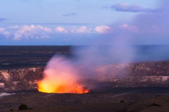
The Hawaiian Islands were formed through a process known as intraplate or “hot-spot” volcanism. A hot spot is a region in the Earth’s upper mantle where a deep-mantle plume of hot, viscous material rises and melts through the crust.23
As the Pacific Plate moves slowly over this stationary hot spot, magma erupts to the surface, creating volcanic mountains. Over time, these successive outpourings of fluid lava build broad, dome-shaped structures known as shield volcanoes, which eventually emerge above sea level to form islands.345
This process creates a chronological chain:
- Active Growth: The youngest, most active volcanoes are located directly over the hot spot, such as Kilauea and Mauna Loa on the island of Hawaii.23
- Extinction and Erosion: As the tectonic plate continues to move, older volcanoes are transported away from the magma source, becoming extinct. Over millions of years, these islands are shaped and eroded by wind, rain, and waves, leading to the rugged landscapes seen on older islands like Kauai.23
Sources
- Lanai — Encyclopædia Britannica
- volcano - Intraplate volcanism — Encyclopædia Britannica
- Hawaii - Relief — Encyclopædia Britannica
- volcano - Mauna Loa , Hawaii, 1984 — Encyclopædia Britannica
- shield volcano — Merriam-Webster
- volcano - Shield volcanoes — Encyclopædia Britannica
Published on · 3 min read