Misool Island
Misool Island, located in the Raja Ampat archipelago, is distinct from many other Indonesian islands due to its sparse population and the traditional…
How does the local culture and population of Misool Island differ from other Indonesian islands?
Misool Island, located in the Raja Ampat archipelago, is distinct from many other Indonesian islands due to its sparse population and the traditional lifestyle of its inhabitants. The island is primarily home to Papuan people, many of whom maintain a seminomadic existence centered on hunting and gathering.1
Unlike more densely populated or urbanized regions of Indonesia, the economy on Misool is largely subsistence-based. Residents produce sago and engage in fishing, with surplus goods exported to ports on the mainland of West Papua. The island’s geography—characterized by dense hardwood forests and mountainous terrain in the south—has contributed to a settlement pattern focused on small coastal villages like Adua and Lelintah, rather than large-scale urban centers.1
How has tourism impacted Misool Island and its economy?
How does the climate of Misool Island affect its vegetation and wildlife?
The climate of Misool Island is characterized by hot temperatures and heavy rainfall, which directly influence the island’s ecological landscape. This high-precipitation environment supports the growth of dense hardwood forests that thrive in the island’s central highlands.
The consistent rainfall also feeds seasonal streams that flow from these mountainous regions toward the coast. While the specific impacts on local wildlife are not detailed in the available data, the presence of these extensive forests and the island’s varied topography—ranging from flat coastal lowlands to hills reaching 3,250 feet (990 metres)—provide the necessary habitat structures for the region’s biodiversity.1
What are the unique geographical features of Misool Island?
Misool Island, located in the Raja Ampat group within the Ceram Sea, possesses a distinct topography defined by its varied elevation and coastal structure.
Geographical Characteristics
- Coastal Lowlands: The island is characterized by flat, low-lying coastal regions that surround much of its perimeter.1
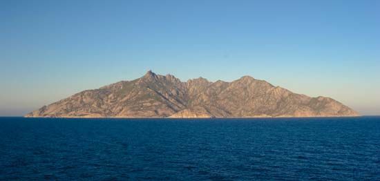
- Mountainous Terrain: In contrast to the lowlands, the southern portion of the island is hilly and mountainous. The central highlands are particularly notable, reaching elevations of up to 3,250 feet (990 metres).1
- Hydrology: The island’s central highlands serve as the source for seasonal streams that flow outward toward the coast, supported by the region’s heavy rainfall.1
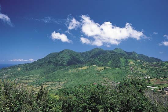
- Vegetation: The interior highlands are covered by dense hardwood forests, which thrive in the island’s hot and wet tropical climate.1
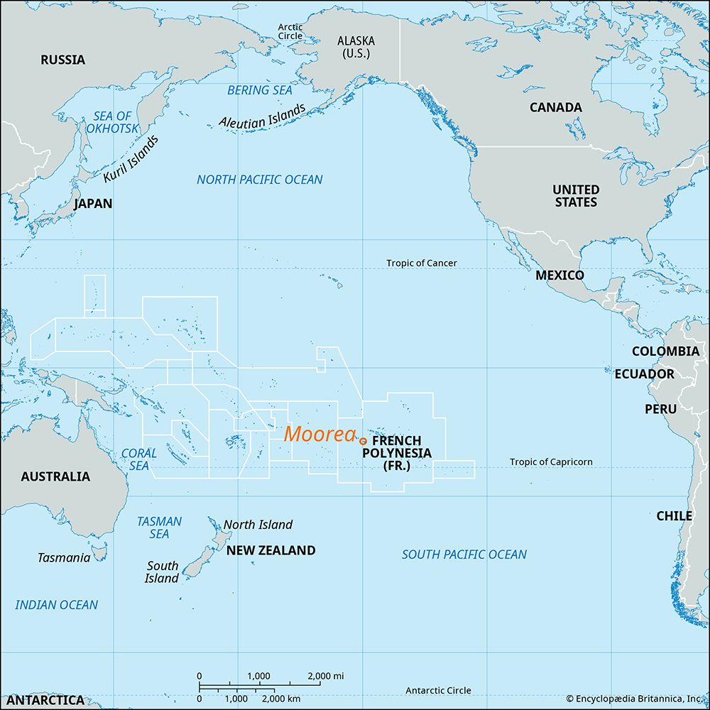
Misool is situated approximately 40 miles (64 km) southwest of the Doberai (Vogelkop) Peninsula of New Guinea, placing it within the West Papua province of Indonesia.1
Sources
- Misool Island — Encyclopædia Britannica
Published on · 2 min read