Mono River
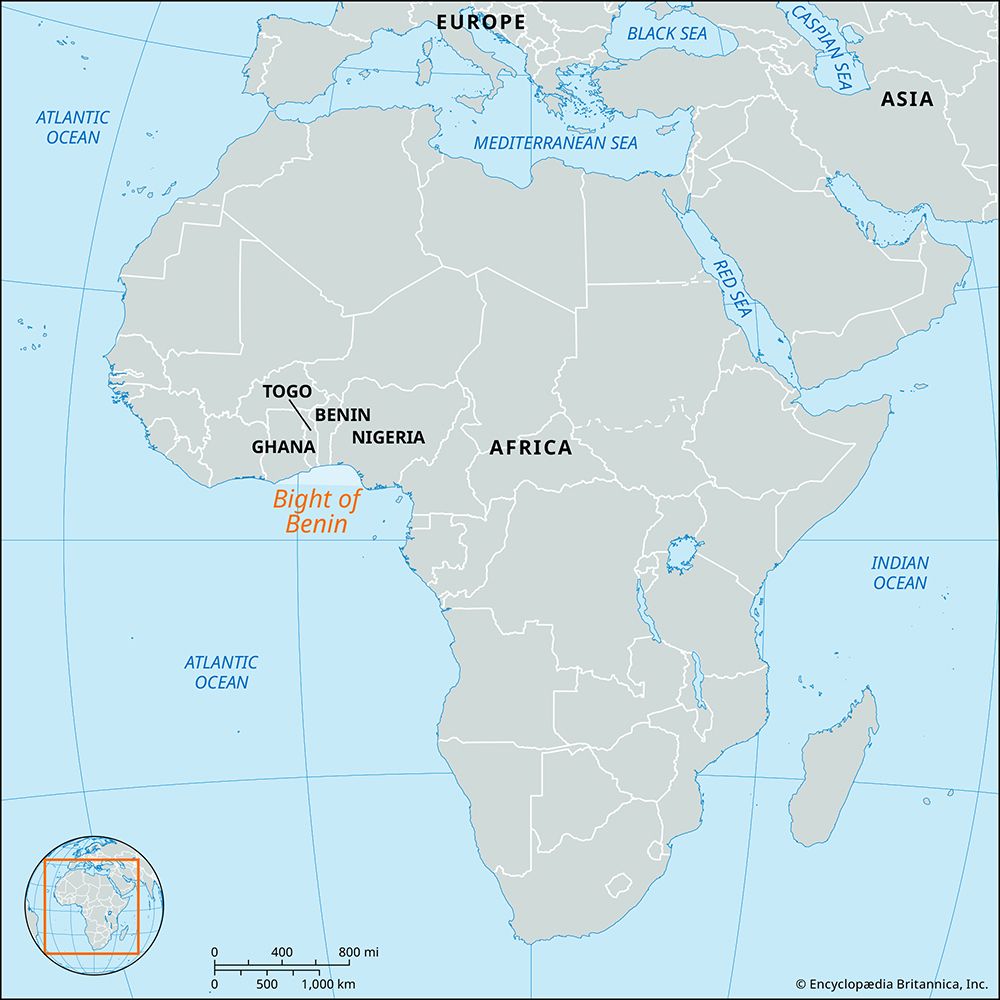
The Mono River is a 250-mile (400-km) waterway that rises in Togo, northeast of Sokodé, near the border with Benin.
What is Mono River?
The Mono River is a 250-mile (400-km) waterway that rises in Togo, northeast of Sokodé, near the border with Benin.12
The river follows a meandering course southward, eventually forming the international boundary between Togo and Benin along its lower reaches before emptying into the Bight of Benin near Ouidah. Near its mouth, the river is connected via a channel to Lake Togo, a coastal lagoon.12
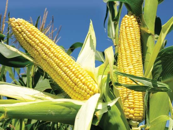
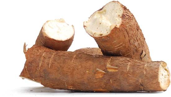
The region drained by the Mono consists of an undulating clay tableland where natural vegetation has been largely replaced by agricultural crops, including corn, cassava, yams, rice, and cotton. While the river is navigable near its mouth, it remains one of the three principal rivers of Benin, alongside the Couffo and the Ouémé.12
What are the main crops grown in the Mono River basin?
The undulating clay tableland drained by the Mono River is characterized by extensive agricultural activity. The natural vegetation in this basin has been largely replaced by cultivated areas dedicated to the following primary crops:
These crops are central to the agricultural output of the region, reflecting the broader reliance on farming within the territories of Togo and Benin that the river traverses.13
How does the Mono River connect to Lake Togo?
The Mono River connects to Lake Togo via a channel located near the river’s mouth. This connection links the river to the lagoon, which is situated south of Akoumapé in the coastal region of Togo.1
Because the Mono River flows into this lagoon, the system can be classified as an estuarine lagoon, a specific type of estuary where a major river meets a lagoon environment.5
What are the other major rivers in Benin?
In addition to the Niger River, which drains the northeastern part of the country along with its tributaries—the Mékrou, Alibori, and Sota—the three principal rivers in Benin are:
- Ouémé River: Rising in the Atakora Mountains, this river flows southward for approximately 310 miles. Near its mouth, it divides into two branches, one draining east into the Porto-Novo Lagoon and the other west into Nokoué Lake.
- Mono River: This river rises in Togo and forms part of the frontier between Togo and Benin before emptying into the Bight of Benin near Ouidah.
- Couffo River: Flowing southward from the Benin plateaus, this river drains into the coastal lagoons at Ahémé.
These rivers are navigable by small boats for several dozen miles, serving as important transportation routes for local craft.2819
Sources
- Mono River — Encyclopædia Britannica
- Benin - Drainage — Encyclopædia Britannica
- Benin - Agriculture and fishing — Encyclopædia Britannica
- Togo - Finance and trade — Encyclopædia Britannica
- lagoon - Water circulation — Encyclopædia Britannica
- Togo - Relief, drainage, and soils — Encyclopædia Britannica
- lagoon - Barrier island lagoons — Encyclopædia Britannica
- Ouémé River — Encyclopædia Britannica
- Niger River - Physiography — Encyclopædia Britannica
- Benin - Transportation — Encyclopædia Britannica
Published on · 2 min read