Mount Damāvand
There are no notable scientific research projects or observatories located on Mount Damāvand. The mountain is primarily recognized as an extinct volcanic…
Are there any notable scientific research projects or observatories located on Mount Damāvand?
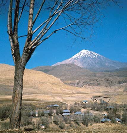
There are no notable scientific research projects or observatories located on Mount Damāvand. The mountain is primarily recognized as an extinct volcanic peak in the Elburz Mountains of northern Iran, characterized by its steep, snowcapped cone, sulfuric deposits, and fumaroles.12
What is the height of Mount Damāvand, and how does it compare to other mountains in the region?
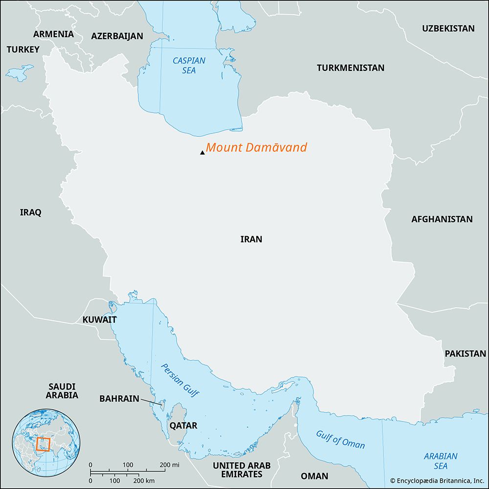
Mount Damāvand is the highest peak in Iran and the tallest mountain in the Elburz Mountains range. While estimates of its elevation have historically varied, it is generally cited as being approximately 18,605 to 18,606 feet (5,671 meters) tall.132
In the context of the region, Damāvand is a dominant geographical feature that stands significantly higher than the surrounding terrain, rising 3,000 to 8,000 feet (900 to 2,450 meters) above the adjacent ranges. Its prominence is particularly striking when compared to the broader relief of Iran, where many other mountain regions are characterized by heavily eroded, parallel ridges or rugged escarpments that, while massive, do not reach the extreme elevation of this extinct volcanic cone. Because many parts of the country remain poorly surveyed, the precise elevation of various peaks in the region continues to be a subject of geographical study and occasional dispute.13
Are there any active volcanic features associated with Mount Damāvand?
Although Mount Damāvand is classified as an extinct volcano, it still exhibits post-volcanic activity. The mountain features a small summit crater containing sulfuric deposits, as well as fumaroles—openings that release volcanic gases and fumes. Additionally, the area is characterized by the presence of hot springs and mineral deposits of travertine.1
While the mountain has been volcanically active for at least 1.8 million years, its most recent eruption occurred approximately 7,300 years ago.1
What role does Mount Damāvand play in Iran’s water resources and nearby ecosystems?
Mount Damāvand plays a significant role in the hydrology of northern Iran, primarily through its permanent snowcap and the presence of two small glaciers near its summit. These features act as natural water reservoirs, contributing to the drainage patterns of the Elburz Mountains.1
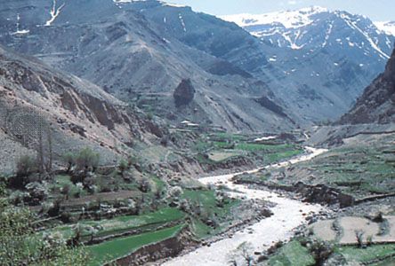
While the mountain itself is a prominent geological feature, the broader region relies on mountain-fed drainage systems where water flows down outward slopes toward the sea or into the central plateau. The Sefid River, which originates in the Elburz range, exemplifies how these mountain streams are vital for hydroelectric power and irrigation in the surrounding plains. Additionally, the mountain’s geothermal activity, including its hot springs, contributes to the local mineral-rich water environment. Because much of Iran’s water is stored naturally underground and released through springs, the high-altitude snowmelt from peaks like Damāvand is essential for sustaining these subterranean water sources during drier seasons.41
Sources
- Mount Damāvand — Encyclopædia Britannica
- Damavand — Merriam-Webster
- Iran - Relief of Iran — Encyclopædia Britannica
- Iran - Drainage — Encyclopædia Britannica
Published on · 2 min read