Passaic River
The Passaic River is an 80-mile-long (130 km) river located in northeastern New Jersey, U.S. Its name is derived from an Algonquian word meaning "peaceful…
What is Passaic River?
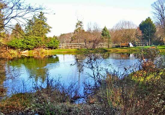
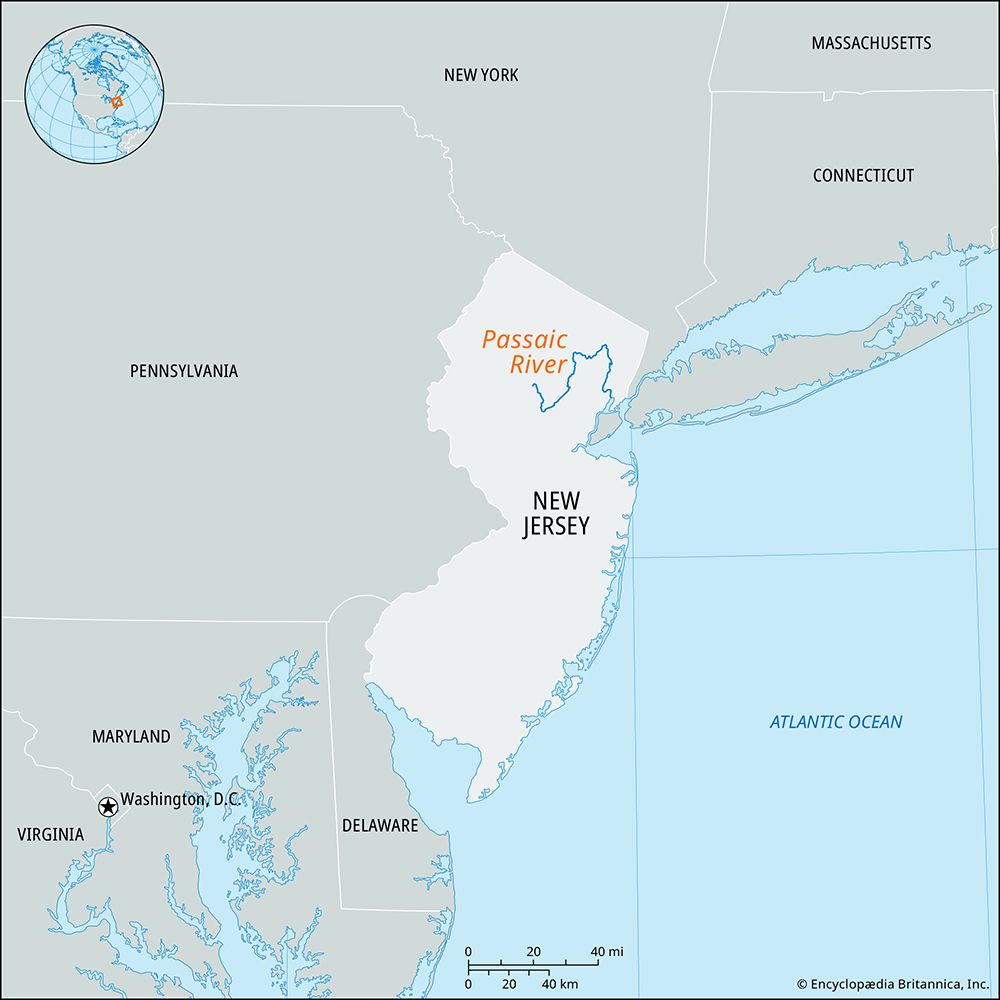
The Passaic River is an 80-mile-long (130 km) river located in northeastern New Jersey, U.S. Its name is derived from an Algonquian word meaning “peaceful valley.”1
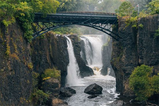
Rising near Morristown, the river follows a winding path: it flows south past Millington, then turns north and east toward Paterson. At Paterson, it features the 70-foot-high Great Falls before turning south and east through Passaic and Newark to empty into Newark Bay.1
The river has a drainage area of 935 square miles (2,422 square km) and has been intensively developed for water and power. Its major tributaries include the Whippany, Rockaway, Pequannock, Wanaque, and Ramapo rivers. The waterway is notably prone to flooding, with a significant historical inundation occurring in 1903.1
What are the Great Falls of the Passaic River?
The Great Falls of the Passaic River are a prominent natural feature located in Paterson, New Jersey, where the river drops 70 feet (21 meters).13
These falls were historically significant as they were identified by advocates of American industrial independence—including Alexander Hamilton—as the premier potential industrial site on the Atlantic Seaboard. Recognizing the power potential of the falls, the New Jersey legislature chartered the Society for Establishing Useful Manufactures (SUM) in 1791, which helped transform Paterson into one of the first planned industrial cities in the United States3.3
The site remains a point of historical and cultural interest today. In 1970, the Great Falls area was designated a national historic site, and the falls served as a central focus of the five-volume poem Paterson by the American poet William Carlos Williams.3
How do rivers contribute to the development of industrial cities?
Rivers have historically served as the foundation for industrial cities by providing essential resources for power, transportation, and manufacturing. Their role in urban development is multifaceted:
- Power Generation: Before the widespread adoption of steam power, rivers were the primary source of mechanical energy. Waterwheels were used to drive textile mills, sawmills, and iron forges, leading many industrial towns to develop at locations where water flow was reliable year-round. For example, the Great Falls of the Passaic River were specifically chosen as the site for Paterson, New Jersey, to harness waterpower for industrial independence.43
- Transportation and Trade: Rivers provided the easiest means of entry and circulation for traders and settlers. They acted as vital conduits for moving raw materials to manufacturing centers and shipping finished goods to markets. Cities located at river junctures or estuaries often became major hubs for commerce.56
- Industrial Utility: Beyond power, large industrial facilities—such as those producing steel, petrochemicals, and textiles—require enormous quantities of water for cooling and processing.7
- Urban Infrastructure: Historically, rivers sustained city populations by providing water and serving as natural systems for waste disposal.5
While rivers were often the catalyst for initial growth, the long-term success of these cities frequently depended on their ability to integrate with evolving transportation networks, such as railroads.6
What are the main causes of river flooding?
River flooding is primarily driven by excessive precipitation, though the severity and frequency of these events are influenced by a combination of meteorological, geological, and human factors.8910
Primary Causes of Flooding
- Extreme Rainfall: Intense or prolonged rainfall is the most common driver of floods. When the volume of water exceeds the capacity of the drainage basin to absorb or transport it, water levels rise rapidly, leading to overbank flow.8910
- Rapid Snowmelt: The sudden melting of snow and ice, particularly in mountainous regions, can release massive quantities of water into river systems over a short period.910
- Obstructions: Natural or artificial barriers can cause water to back up. This includes ice jams in rivers, landslide debris blocking channels, or the failure of dams.8910
Influencing Factors
- Terrain and Soil: Steep slopes accelerate runoff, while dry or hardened soil—often caused by drought—inhibits absorption, forcing more water into streams.1011
- Land Use: Urbanization increases the amount of impervious surfaces (such as roads and roofs), which prevents water from soaking into the ground and increases the magnitude of flood peaks.810
- Climate Change: A warming atmosphere holds more moisture, which can lead to heavier rainfall events and potentially increase the frequency and intensity of flooding.10
Sources
- Passaic River — Encyclopædia Britannica
- Passaic — Encyclopædia Britannica
- Paterson — Encyclopædia Britannica
- river - Significance in early human settlements — Encyclopædia Britannica
- energy conversion - Waterwheels — Encyclopædia Britannica
- river - Significance to trade , agriculture, and industry — Encyclopædia Britannica
- United States - Classic patterns of siting and growth — Encyclopædia Britannica
- river - Peak discharge and flooding — Encyclopædia Britannica
- flood — Encyclopædia Britannica
- Flash flood — Encyclopædia Britannica
- Central Texas floods of 2025 — Encyclopædia Britannica
- Status of the world’s tropical forests - Global implications of deforestation — Encyclopædia Britannica
Published on · 3 min read