River Eden
The River Eden is located in northern England. It rises in the fells connecting the Lake District and the Pennines, flowing 90 miles northwest through the…
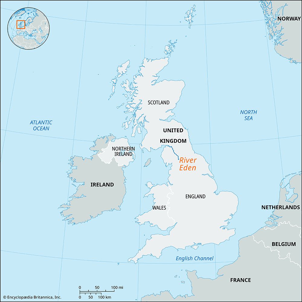
Where is the River Eden located in England, and what are its main tributaries?
The River Eden is located in northern England. It rises in the fells connecting the Lake District and the Pennines, flowing 90 miles northwest through the Vale of Eden before discharging into the Solway Firth.12
The river is fed by various tributaries:
- Main Tributary: The Eamont, which enters near Penrith and collects drainage from the heart of the Lake District, including Ullswater.1
- Other Tributaries: The Irthing joins above Carlisle, while the Petteril and Caldew flow into the river near the city. Additionally, the river receives numerous short, swift streams from the Pennine escarpment and longer tributaries from the Lake District and its flanking hills.1
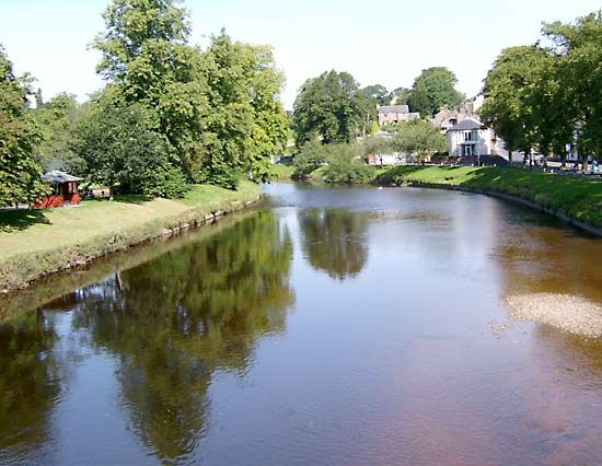
What is the length of the River Eden, and which major towns or cities does it flow through?
The River Eden in northern England flows for 90 miles (145 km) from its source in the fells connecting the Lake District and the Pennines to its estuary in the Solway Firth.1
As it travels northwestward, the river passes through several notable locations:
- Appleby: Situated on a river peninsula, this town lies along the river’s meandering course through the lowland vale.1
- Penrith: Located near the confluence of the river’s main tributary, the Eamont, this town serves as an administrative centre in the region.12
- Carlisle: This city is positioned on the south bank of the river, where it is flanked by the tributaries of the Petteril and Caldew. Historically, the city has commanded the lowest bridge over the river from a defensive site.1
What historical significance does the River Eden hold for the region?
The River Eden and its surrounding valley have served as a significant site of human activity and conflict throughout history. The region contains archaeological evidence of diverse occupation, including ancient cairns and stone circles, as well as Roman, Viking, and Anglo-Saxon antiquities found within the valley.1
The river’s strategic geography has also played a critical role in regional defense and development:
- Defensive Positioning: The city of Carlisle is historically significant for commanding the lowest bridge over the river, utilizing a defensive site on the south bank that was further protected by the confluence of the Petteril and Caldew tributaries.3
- Border Warfare: The agricultural centers of Penrith and Appleby were frequently subjected to devastation during the medieval period as a result of the ongoing border warfare between the English and the Scots.1
Beyond its military history, the Vale of Eden has long been a vital agricultural area, providing fertile land for livestock and crops amidst the surrounding mountainous terrain.21
What is the source of the River Eden, and where does it empty into the sea?
The River Eden originates in the fells—the upland region that connects the Lake District with the highlands of the Pennines in northern England.1
After flowing 90 miles (145 km) in a northwestward direction, the river empties into the Solway Firth, which is an inlet of the Irish Sea. The river reaches this destination by discharging through shifting channels across tidal flats.13
Sources
- River Eden — Encyclopædia Britannica
- Eden — Encyclopædia Britannica
- Vale of Eden — Encyclopædia Britannica
- England - Drainage of England — Encyclopædia Britannica
Published on · 2 min read