Western Port
The two primary islands located within Western Port bay in Victoria, Australia, are:
What are the main islands located within Western Port bay?
The two primary islands located within Western Port bay in Victoria, Australia, are:
- French Island: Covering approximately 84 square miles (218 square km), this island occupies much of the bay’s interior. It is characterized by low, marshy terrain in the northwest that rises into wooded hills and serves as a habitat for wildlife, including koalas and potoroos.12
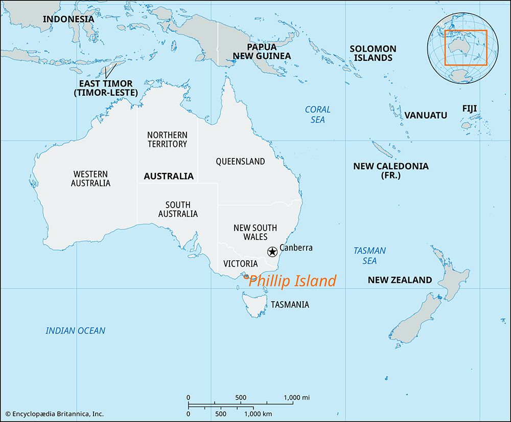
- Phillip Island: Situated at the entrance of the bay, this island spans about 40 square miles (100 square km). It is connected to the mainland by a bridge at San Remo and is well-known for its tourism, including a koala sanctuary and famous little blue penguin rookeries.32
What is the geographical location and size of Western Port bay in Victoria, Australia?
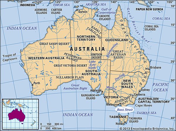
Western Port is a circular bay located on the southern coast of Victoria, Australia, situated southeast of Melbourne. The bay spans approximately 20 miles (32 km) across and serves as an inlet of the Bass Strait. It is geographically separated from Port Phillip Bay to the west by the Mornington Peninsula.3
The bay is characterized by two major islands that occupy its space: Phillip Island, which sits at the entrance of the bay and covers 40 square miles (100 square km), and French Island, which covers 84 square miles (218 square km) and occupies much of the bay’s interior.32
How was Western Port bay formed, and what are its key geological features?
Sorry, the Britannica knowledge base does not contain information regarding the specific geological formation or the key geological features of Western Port bay. While the provided sources describe the bay’s location, size, and its role as an inlet of the Bass Strait, they do not detail the tectonic or environmental processes that formed it.
What are the main towns and communities surrounding Western Port bay?
The communities surrounding Western Port bay are primarily defined by their proximity to the bay’s entrance and its eastern mainland shore. Key locations include:
- Cowes: Located on Phillip Island, this is the island’s main town. It serves as a significant hub for tourism, retirement, and local agriculture, including stock grazing and chicory cultivation.3
- San Remo: Situated on the eastern mainland shore of the bay, this town is connected to Phillip Island by a bridge, facilitating access between the mainland and the island.3
While the broader region has seen the development of heavy industry since the 1960s due to the discovery of oil and natural gas deposits off the Gippsland coast, the historical record notes that early attempts to establish permanent settlements in the area, such as a convict settlement in 1826, were unsuccessful.62
Sources
- French Island — Encyclopædia Britannica
- Phillip Island — Encyclopædia Britannica
- Western Port — Encyclopædia Britannica
- Bass Strait — Encyclopædia Britannica
- Victoria - Relief — Encyclopædia Britannica
- Victoria - European exploration and settlement — Encyclopædia Britannica
- Port Phillip Bay — Encyclopædia Britannica
Published on · 2 min read