Yangon River
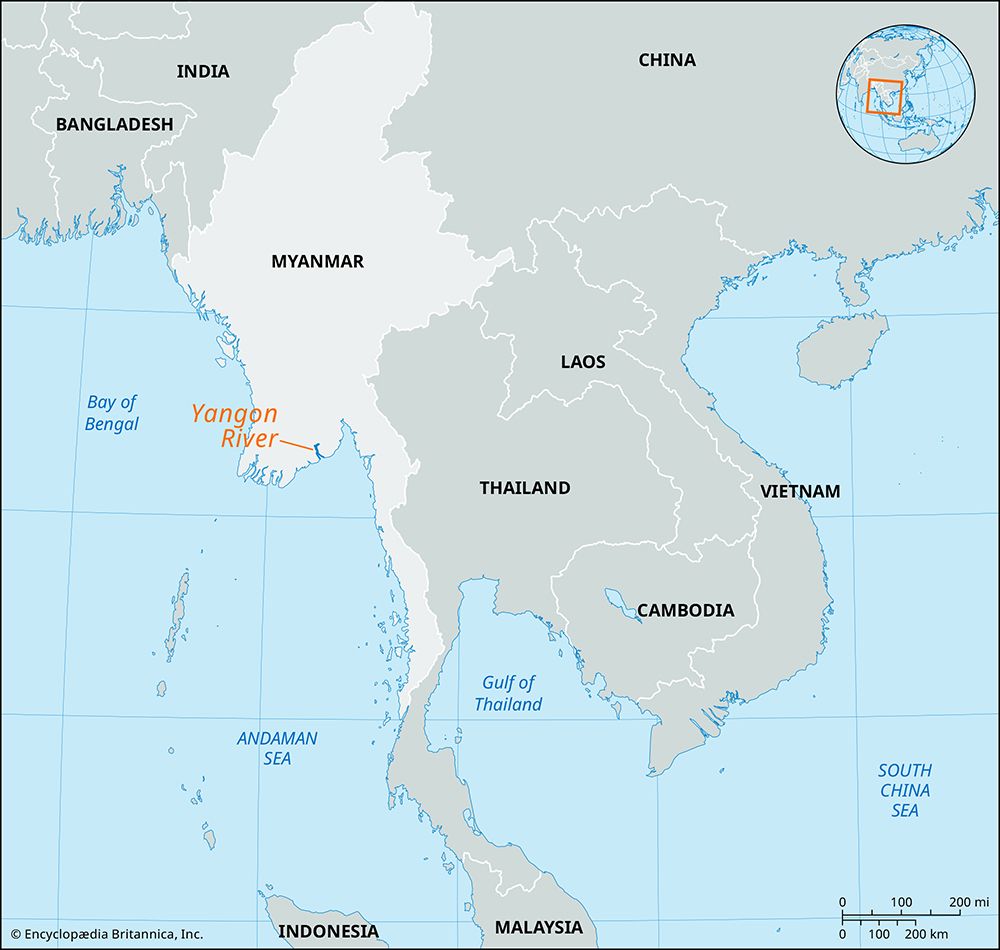
The Yangon River is a marine estuary located in southern Myanmar. It is formed at the city of Yangon (formerly Rangoon) by the confluence of the Pegu and…
What is Yangon River?
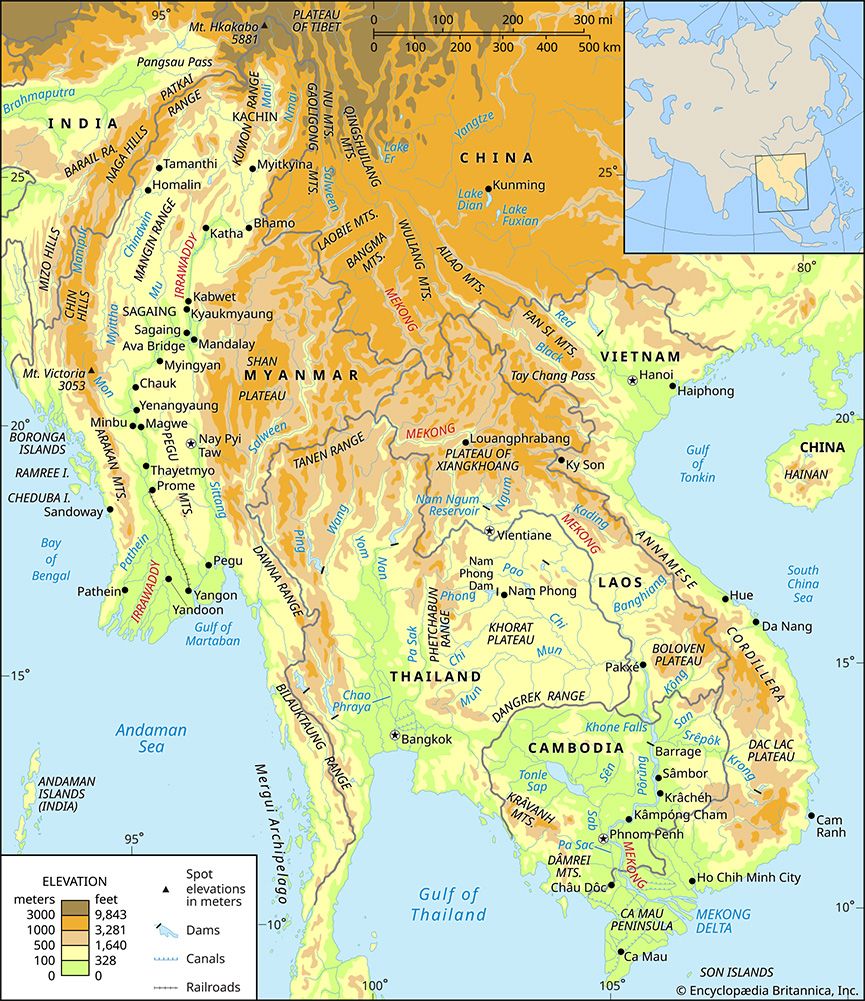
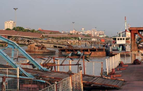
The Yangon River is a marine estuary located in southern Myanmar. It is formed at the city of Yangon (formerly Rangoon) by the confluence of the Pegu and Myitmaka rivers and flows into the Gulf of Martaban of the Andaman Sea.1
Serving as the primary access channel to Yangon, the river is capable of accommodating oceangoing vessels. It is also linked to the Irrawaddy River to the west via the Twante Canal, which was first constructed in 1883. Within the broader Irrawaddy Delta, the Yangon River functions as the easternmost stream. Because it is considered a minor channel, the water flow is often insufficient to prevent the silting of Yangon Harbour, necessitating regular dredging to maintain navigation.12
What is the importance of the Irrawaddy River to Myanmar’s geography?
The Irrawaddy River is the principal waterway of Myanmar, serving as the nation’s historical, cultural, and economic heartland. Spanning approximately 1,350 miles, it flows entirely within Myanmar, and its valley supports a dense population and vital agricultural activity.43
Economic and Geographic Significance
- Commercial Transport: As Myanmar’s most important waterway, the river facilitates the movement of passengers and goods across the country. It supports extensive commercial navigation, with over 2,000 miles of navigable waterways in its delta alone.45
- Agricultural Hub: The river’s delta is one of the world’s major rice-growing regions. The river continuously replenishes the soil with fertile alluvium, sustaining high agricultural productivity.35
- Resource Transportation: The river is a critical artery for exporting commodities, including teak logs, petroleum, and foodstuffs.5
- Landscape Formation: The river’s heavy sediment load causes the delta to extend into the Andaman Sea at a rate of about 165 feet per year, actively shaping the southern coastline of the country.3
How do tidal bores affect rivers in the Gulf of Martaban?
In the Gulf of Martaban, tidal bores significantly impact river navigation, particularly at the mouth of the Sittang River. A tidal bore occurs when a large tidal range forces an incoming tide into a narrow channel, creating a “wall of water” that rushes upstream.6
These bores are characterized by a well-defined front of one or more waves that travel faster than the normal tidal current. Because the bore abruptly reverses the flow of water and creates a sudden rise in water level, it poses a major hazard to maritime traffic. Historically, the bore at the mouth of the Sittang River was so severe that it necessitated the construction of a canal linking the river to the Pegu River to bypass the dangerous estuary entirely.62
Why is dredging necessary for the Yangon Harbour?
Dredging is necessary for the Yangon Harbour because the Yangon River is only a minor channel. Consequently, the river’s natural flow of water is insufficient to prevent the harbour from silting up, which would otherwise obstruct access for oceangoing vessels.1
Sources
- Yangon River — Encyclopædia Britannica
- Sittang River — Encyclopædia Britannica
- Irrawaddy River - Physiography — Encyclopædia Britannica
- Irrawaddy River — Encyclopædia Britannica
- Irrawaddy River - Navigation — Encyclopædia Britannica
- tidal bore — Encyclopædia Britannica
Published on · 2 min read