Bengkalis Island
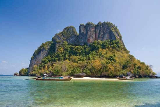
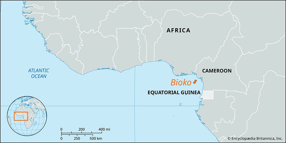
Bengkalis Island is an Indonesian island located in the Strait of Malacca, situated off the eastern coast of Sumatra within the Riau province.
What is Bengkalis Island?
Bengkalis Island is an Indonesian island located in the Strait of Malacca, situated off the eastern coast of Sumatra within the Riau province.1
The island is characterized by its low-lying, swampy terrain of coral formation and experiences heavy precipitation. Stretching approximately 42 miles (68 km) in length, it is sparsely populated and generally considered unsuitable for cultivation. The primary economic activity centers on the port town of Bengkalis, located on the western end of the island, which serves as a shipping point for commodities such as timber, rubber, resin, and tobacco. Another notable town, Meskum, is situated on the island’s northwestern tip. Transportation between the island and the Riau province is conducted via steamer.1
What is the significance of the Strait of Malacca for trade?
The Strait of Malacca is a vital global maritime gateway, serving as the shortest sea route between India and China. As one of the world’s most heavily traveled shipping channels, it accounts for approximately 30 percent of all global trade.45
Its significance is defined by several key factors:
- Global Connectivity: By linking the Andaman Sea (Indian Ocean) with the South China Sea (Pacific Ocean), it acts as a primary conduit for international commerce.45
- Energy Transport: The strait is a critical passage for giant oil tankers transporting petroleum from Middle East oil fields to major economies in Japan and throughout East Asia.4
- Strategic Ports: The presence of Singapore—one of the world’s most important ports—at the southern end of the strait further cements its status as a central hub for maritime logistics.46
How does the geography of swampy islands affect local transportation?
The geography of swampy islands presents significant challenges to local transportation, primarily due to the waterlogged, unstable nature of the terrain. Because these environments are characterized by poor drainage and frequent inundation, traditional land-based infrastructure like roads is often difficult or impossible to construct and maintain.1
Key impacts on transportation include:
- Reliance on Waterways: In regions like Bengkalis Island or the swampy plains of Papua New Guinea, water serves as the primary medium for travel. Steamer services or small boats are often the only viable means of connecting isolated settlements to larger provinces or trade hubs.78
- Engineering Obstacles: Where roads are attempted, drainage engineering becomes the most critical and expensive factor. Engineers must manage both surface water and high groundwater levels to prevent the pavement structure from failing, which is particularly difficult in low-lying, swampy areas where natural drainage is sluggish.91
- Sedimentation Issues: In river-dominated swamp systems, high sediment loads can create shallow, meandering channels that complicate navigation and hinder the development of reliable transport routes.8
What are some common natural resources found in the Riau province?
The Riau province, located in east-central Sumatra, is rich in both agricultural and mineral resources that support its economy.13
Agricultural and Forest Resources
Agriculture is a primary occupation in the province. Key products include:
- Crops: Rice, corn (maize), cassava, and soybeans.13
- Cash Crops: Copra (dried coconut meat), pepper, and gambier, which is a plant used for producing resin for tanning and dyeing.13
- Forestry: The region supports moderate logging industries, utilizing the diverse vegetation found in its extensive swampy areas, such as rattan and bamboo.13
Mineral and Energy Resources
The province is particularly noted for its significant energy and mineral wealth:
- Petroleum: The extraction of petroleum from fields near Pekanbaru is the principal large-scale industry in the province.13
- Refining: The coastal towns of Sungai Pakning and Dumai serve as critical hubs for oil refining.13
While the neighboring Riau Islands province—which was administratively separated from mainland Riau in 2002—is known for mining bauxite, granite, and tin, the mainland province of Riau remains most prominently defined by its hydrocarbon reserves.1314
Sources
- Bengkalis Island — Encyclopædia Britannica
- Bengkulu — Encyclopædia Britannica
- Bangka Belitung — Encyclopædia Britannica
- Strait of Malacca — Encyclopædia Britannica
- List of Important Straits — Encyclopædia Britannica
- Singapore Strait — Encyclopædia Britannica
- Virgin Islands - The economy (U.S. Virgin Islands) — Encyclopædia Britannica
- Wetland - Freshwater forested swamps — Encyclopædia Britannica
- Virgin Islands - Agriculture — Encyclopædia Britannica
- road - Drainage — Encyclopædia Britannica
- Swamp — Encyclopædia Britannica
- Papua New Guinea - Drainage and soils — Encyclopædia Britannica
- Riau — Encyclopædia Britannica
- Indonesia - Resources and power — Encyclopædia Britannica
- Riau Islands — Encyclopædia Britannica
Published on · 3 min read