Byam Martin Island
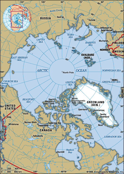
Byam Martin Island is an uninhabited island located in the Arctic Ocean as part of the Parry Islands in Nunavut, Canada. Situated just east of Melville…
What is Byam Martin Island?
Byam Martin Island is an uninhabited island located in the Arctic Ocean as part of the Parry Islands in Nunavut, Canada. Situated just east of Melville Island, it spans approximately 30 miles (50 km) in length and 20 miles (30 km) in width, covering an area of 376 square miles (974 square km).1
The island features a rolling landscape that rises from its smooth coastlines to a maximum elevation of 500 feet (152 meters). It was first discovered in 1819 by the explorer Sir William Parry, who named the landmass in honor of Sir Thomas Byam Martin, a comptroller of the Royal Navy.1
Who was Sir William Parry and what were his expeditions?
Sir William Parry (1790–1855) was a prominent British naval officer and Arctic explorer who led several significant expeditions in the early 19th century to discover the Northwest Passage.34
Key Expeditions
Parry’s efforts were driven by the British government’s desire to find a navigable route through the Arctic following the Napoleonic Wars.4
- 1819–1820: Serving as second in command to John Ross in 1818, Parry became convinced that a passage existed where Ross had seen only bays. In his 1819–1820 expedition, he successfully navigated Lancaster Sound to Melville Island, where he wintered.4
- 1821–1823: Parry attempted a more southerly route through Foxe Basin. He spent two winters in the region but was ultimately blocked by ice in the narrow Fury and Hecla Strait.4
- 1824–1825: On his third voyage, Parry explored Prince Regent Inlet in a final attempt to find a breakthrough.4
While Parry’s expeditions failed to find a commercially viable passage, they significantly expanded geographic knowledge of the Canadian Arctic Archipelago.34
What is the Canadian Arctic Archipelago?
The Arctic Archipelago is a vast group of Canadian islands located in the Arctic Ocean, lying north of the Canadian mainland. Spanning approximately 550,000 square miles (1,424,500 square km), the region is politically divided between Nunavut and the Northwest Territories of Canada.56
The geography of the archipelago is diverse:
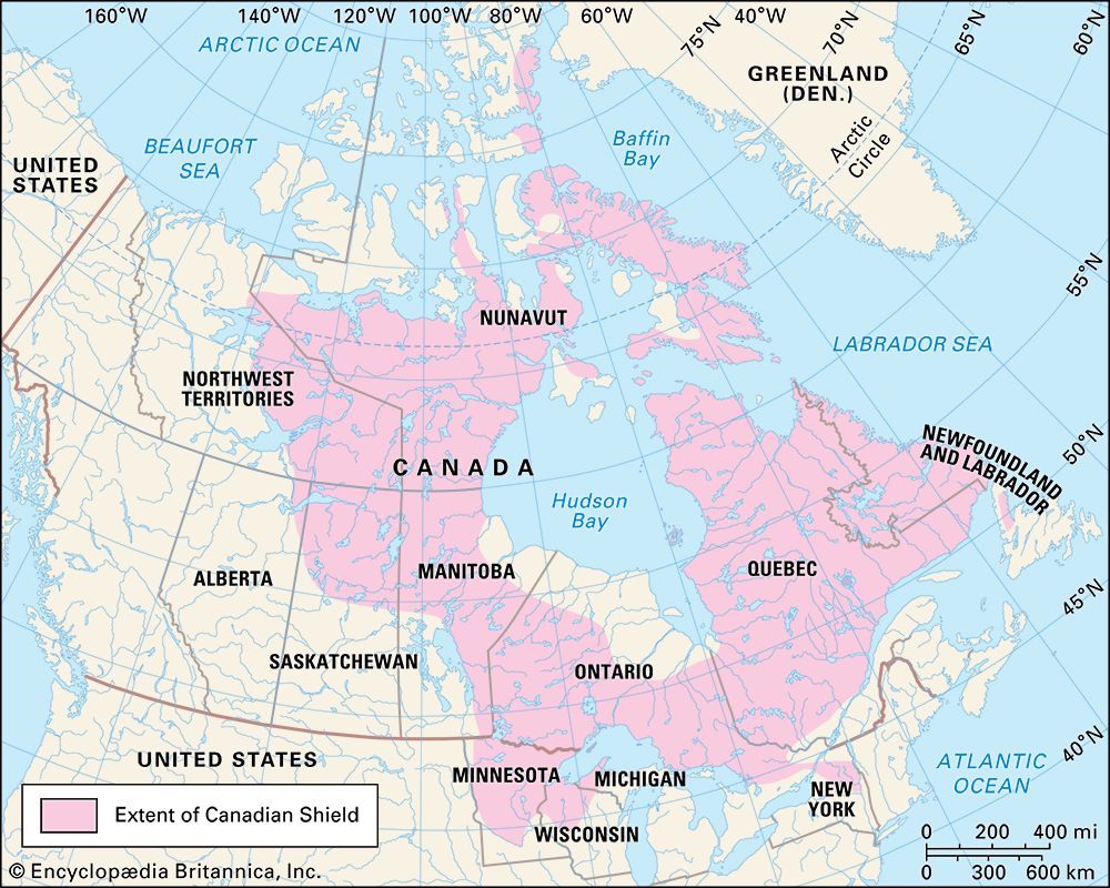
- Southeastern islands: These serve as an extension of the Canadian Shield.5
- Southern regions: Characterized by Arctic lowlands.5
- Northern regions: Dominated by the Innuitian Mountains.5
Major islands within the group include Baffin, Ellesmere, Victoria, Banks, and Prince of Wales Island. The area is part of the broader Arctic zone, which is defined by a harsh, perennially cold climate where temperatures frequently remain below freezing for most of the year and the frost-free season is limited to 60 days or fewer.57
What are the characteristics of the Parry Islands?
The Parry Islands are a Canadian archipelago located within the Arctic Ocean, situated north of Victoria Island and south and west of Ellesmere Island.
Key characteristics of the archipelago include:
- Political Jurisdiction: The islands are split between the territories of Nunavut and the Northwest Territories.
- Classification: They are recognized as a component of the Queen Elizabeth Islands.
- Major Landmasses: The primary islands within the group are Devon, Cornwallis, Bathurst, Melville, and Prince Patrick.
We could dive deeper into the geography of the broader Arctic Archipelago or explore the history of the expeditions that mapped these northern regions.
Sources
- Byam Martin Island — Encyclopædia Britannica
- list of islands - Canada — Encyclopædia Britannica
- European exploration - The northern passages — Encyclopædia Britannica
- Arctic - 19th-century attempts at the passage — Encyclopædia Britannica
- Arctic Archipelago — Encyclopædia Britannica
- Arctic - The North American Arctic — Encyclopædia Britannica
- Arctic Archipelago — Merriam-Webster
- North America - The Arctic zone — Encyclopædia Britannica
- Parry Islands — Encyclopædia Britannica
- Parry Islands — Merriam-Webster
Published on · 2 min read