Cariboo Mountains
The Cariboo Mountains were the site of the Cariboo gold rush, a pivotal event between 1860 and 1863 that transformed the frontier of British Columbia into a…
What is the historical significance of the Cariboo Mountains, especially in relation to the Cariboo Gold Rush?
The Cariboo Mountains were the site of the Cariboo gold rush, a pivotal event between 1860 and 1863 that transformed the frontier of British Columbia into a settled society.12
The discovery of gold, particularly near Barkerville, drew thousands of prospectors to the region. This influx necessitated the construction of the Cariboo Road, an engineering feat that connected the interior to the coast and facilitated permanent settlement. While the initial mining boom subsided by 1865, the infrastructure and the influx of ranchers, farmers, and civil servants established a lasting economic and social foundation. This development was instrumental in the region’s political evolution, leading to the unification of colonies and British Columbia’s eventual entry into the Dominion of Canada in 1871. Mining operations in the area continued using advanced technology until the 1930s, with total production reaching approximately $50 million.132
Are there any protected areas or parks within the Cariboo Mountain range?
Yes, the Cariboo Mountains contain several significant protected areas, primarily located along their western slopes. These include:
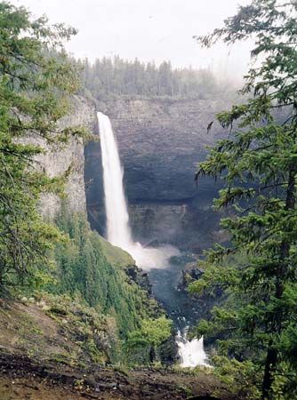
- Wells Gray Provincial Park: A large provincial park situated on the western slopes of the range.4
- Bowron Lake Provincial Park: Another major provincial park located in the western foothills of the mountains.45
- Barkerville Historic Town & Park: Established as a provincial historical park in 1959, this site preserves the legacy of the 1860s gold rush as a living-history attraction.5
These parks serve to protect the natural landscape of the region, which is also characterized by its mineral wealth and historical significance to British Columbia.46
What is the highest peak in the Cariboo Mountains and how tall is it?
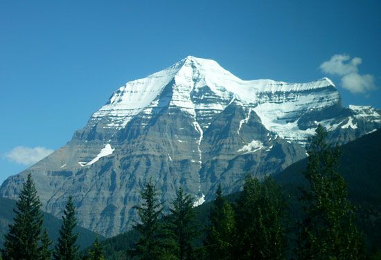
The highest peak in the Cariboo Mountains is Mount Sir Wilfrid Laurier, which reaches an elevation of 11,549 feet (3,520 meters).4
While some sources provide varying estimates for the range’s highest point, Mount Sir Wilfrid Laurier is recognized as the primary summit of this northern subdivision of the Columbia Mountains.47
Where are the Cariboo Mountains located within Canada?
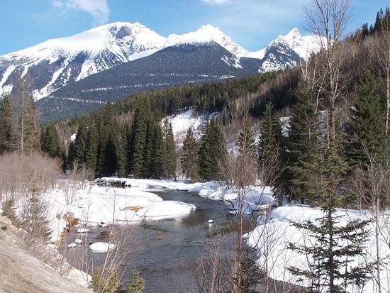
The Cariboo Mountains are located in eastern British Columbia, Canada. They form the northern subdivision of the Columbia Mountains and are situated within the area enclosed by the great bend of the Fraser River and its tributary, the North Thompson River.4
The range extends approximately 190 miles (305 km) and runs parallel to the Rocky Mountain Trench, which serves as the boundary separating them from the Canadian Rockies. As the mountains extend northward and westward from their highest peak, Mount Sir Wilfrid Laurier, they gradually decline in elevation until they merge with the Interior Plateau near Prince George.4
Sources
- Cariboo gold rush — Encyclopædia Britannica
- Cariboo Road — Encyclopædia Britannica
- British Columbia - Gold rush and permanent settlements — Encyclopædia Britannica
- Cariboo Mountains — Encyclopædia Britannica
- Barkerville — Encyclopædia Britannica
- Columbia Mountains — Encyclopædia Britannica
- Cariboo Mountains — Merriam-Webster
Published on · 2 min read