Columbia Mountains
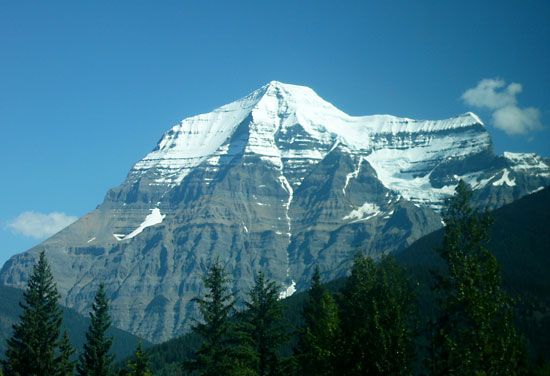
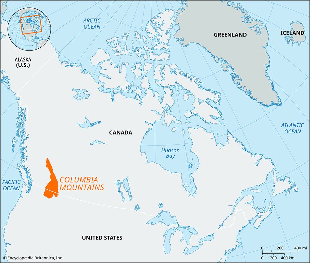
The Columbia Mountains are a significant component of the Western Cordillera, a vast mountain system spanning the Pacific coast of Canada. Geologically, the…
How were the Columbia Mountains formed geologically?
The Columbia Mountains are a significant component of the Western Cordillera, a vast mountain system spanning the Pacific coast of Canada. Geologically, the formation of these mountains is tied to the complex tectonic evolution of the North American continental margin.1
Beginning approximately 180 to 140 million years ago, as the continent of Laurentia drifted westward, it overrode the floor of the eastern Pacific basin. This process triggered intense geological activity along the continental margin, characterized by significant arc magmatism. During this period, the sedimentary rocks to the east were subjected to intense folding and thrust faulting, a process known as the Sevier orogeny.2
Furthermore, the central portion of the Cordilleras was formed through the piecemeal accretion of offshore island arcs and various oceanic crustal fragments onto the advancing continental margin. While the Columbia Mountains are often discussed alongside the Canadian Rockies, they are distinct, separated from the Rockies by the Rocky Mountain Trench.231
What is the climate like in the Columbia Mountains, and how does it vary with elevation?
The climate of the Columbia Mountains is heavily influenced by their role as an orographic barrier to moisture-laden air masses moving inland from the Pacific Ocean. Because these mountains are part of the broader Pacific mountain system, they experience significant variations in temperature and precipitation that are directly tied to elevation and orientation.
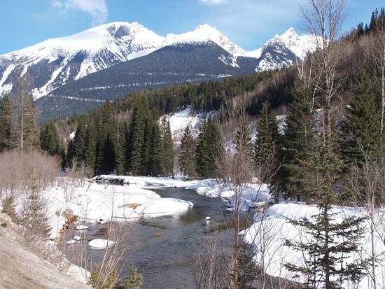
In general, precipitation levels increase with elevation as air is forced upward over the mountain slopes, cooling and releasing moisture. Consequently, the western, windward slopes of these ranges receive significantly higher annual precipitation than the eastern, leeward sides, which often lie in a rain shadow. While lower elevations may experience more moderate conditions, the higher reaches of the mountains receive substantial amounts of precipitation, much of which falls as snow during the winter months.
Temperature also decreases as elevation increases, creating distinct vertical climatic zones across the range. While the broader region of British Columbia experiences a wide variety of climates due to the interaction between Pacific winds and successive mountain ranges, the Columbia Mountains specifically reflect this pattern of high variability.
What role do the Columbia Mountains play in water resources and river systems in western Canada?
The Columbia Mountains serve as a critical component of the hydrological landscape in western Canada. By acting as a significant orographic barrier, these mountains capture moisture from Pacific air masses, resulting in substantial precipitation that sustains the region’s watershed systems.1
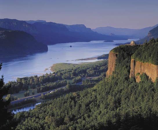
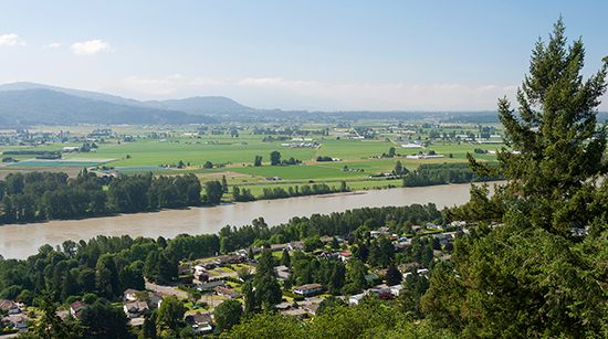
The mountains are bounded by major river systems, including the Columbia River to the south, the Fraser River to the north, and the Thompson River, which separates the Cariboo Mountains from the rest of the system. The high-elevation snowpack within these ranges is vital for the seasonal flow of the Columbia River; as this snow melts in late spring and early summer, it generates the high-flow periods necessary for the river’s hydroelectric capacity. Additionally, the Kootenay River flows through the region, eventually joining the Columbia River at Castlegar after passing through Kootenay Lake, further integrating the mountain range into the broader drainage network.111012
What are the major subranges or groups that make up the Columbia Mountains?
The Columbia Mountains are composed of four distinct subranges, each rising to elevations exceeding 10,000 feet (3,000 m). These ranges are organized into a northern section and a southern section divided by deep, lake-filled trenches.1
The major subranges are:
- Cariboo Mountains: Forming the northernmost extension of the system, this range is separated from the others by the North Thompson River. It is bounded by the great bend of the Fraser River and contains the highest peak in the Columbia system, Mount Sir Wilfrid Laurier.113
- Monashee Mountains: Located in the southwestern part of the system, this range extends north from the U.S. border. It is situated between the Interior Plateau to the west and the Selkirk Trench to the east.114
- Selkirk Mountains: This major subdivision extends in a southeasterly arc and is bounded by the Purcell Mountains to the east and the Columbia River to the west and north.115
- Purcell Mountains: These form the easternmost of the three parallel southern ranges, situated between the Selkirk Mountains and the Rocky Mountain Trench.1
Sources
- Columbia Mountains — Encyclopædia Britannica
- Columbia Plateau — Encyclopædia Britannica
- North America - 250 to 120 million years ago — Encyclopædia Britannica
- Canada - The Western Cordillera — Encyclopædia Britannica
- North America - 1.6 to 1.3 billion years ago — Encyclopædia Britannica
- Columbia River - Climate — Encyclopædia Britannica
- Colombia - Climate of Colombia — Encyclopædia Britannica
- British Columbia - Climate of British Columbia — Encyclopædia Britannica
- Pacific Ocean - Climate — Encyclopædia Britannica
- Pacific mountain system - Climate — Encyclopædia Britannica
- Columbia River - Physiography and hydrology — Encyclopædia Britannica
- Kootenay River — Encyclopædia Britannica
- Cariboo Mountains — Encyclopædia Britannica
- Selkirk Mountains — Encyclopædia Britannica
- Monashee Mountains — Encyclopædia Britannica
Published on · 3 min read