Carlingford Lough
Carlingford Lough is an inlet of the Irish Sea that serves as a natural boundary between the Carlingford Peninsula in County Louth, Ireland, and the Mourne…
What is Carlingford Lough?
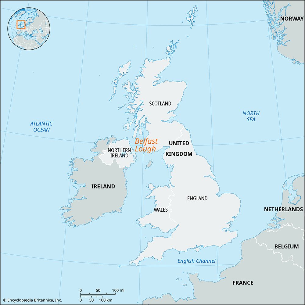
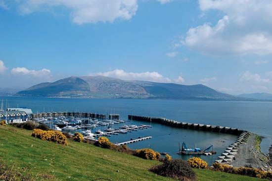
Carlingford Lough is an inlet of the Irish Sea that serves as a natural boundary between the Carlingford Peninsula in County Louth, Ireland, and the Mourne Mountains in Northern Ireland.1
The lough spans approximately 10 miles (16 km) in length and ranges from 2 to 4 miles in width. It is connected to the town of Newry via the Newry Canal, and its shores are home to several settlements, including Warrenpoint, Rosstrevor, Carlingford, and the port of Greenore.1
How was the landscape of the Mourne Mountains formed?
The landscape of the Mourne Mountains was primarily shaped by geological activity involving the intrusion of granite into existing rock formations. The range’s distinct oval outline is the result of five overlapping granite intrusions that pushed into older Silurian shales.2
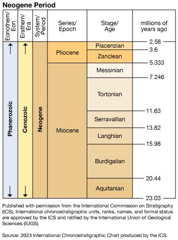
While geological records note that the basic regional geology is Silurian—consisting largely of slate and sandstone—the Mourne Mountains themselves are defined by these massive granite bodies. The timing of these formations is subject to different geological estimates in the provided data, with some sources attributing the granite to the Neogene Period (23 to 2.6 million years ago) and others identifying it as Eocene (approximately 38 million years old). Following these volcanic processes, the mountains were further sculpted into the rugged, high-peaked range that rises abruptly from the Irish Sea today.23
What is the historical significance of the Newry Canal?
The Newry Canal holds significant historical importance as the first major canal constructed in the British Isles. Built between 1730 and 1741, the canal was engineered to create a vital inland waterway connecting Lough Neagh to the Irish Sea via Carlingford Lough.11
Following the opening of the canal in 1742, the town of Newry underwent a significant transformation, evolving into a major trading center. By providing a navigable route through the region, the canal facilitated the movement of goods and bolstered the economic development of the surrounding area. The waterway also served as a prominent geographical feature, effectively dividing the former district of Newry and Mourne into two distinct sections.41
What are the differences between a lough and a fjord?
The terms “lough” and “fjord” describe distinct geographical features, though they are sometimes used interchangeably in specific regions.
A lough is a term used chiefly in Ireland to describe either a lake or a bay or inlet of the sea. Because the term refers to both inland freshwater bodies (such as Lough Derg) and coastal inlets (such as Belfast Lough or Lough Foyle), it is defined more by its regional usage than by a specific geological origin.6789
A fjord, by contrast, is a specific geological formation defined as a long, narrow arm of the sea created by the marine inundation of a glaciated valley. Fjords are characterized by:10
- Glacial Origin: They are formed by the erosion of massive glaciers, which typically results in a U-shaped valley.1110
- Depth and Structure: They are often exceptionally deep and feature a submerged ridge or “sill” at the mouth, composed of glacial deposits, which can restrict water circulation.1110
- Steep Topography: Because of their glacial history, they usually have steep, vertical walls and very little shallow water along the shore.1110
While some coastal loughs may share characteristics with fjords, the term “lough” is a linguistic and regional classification, whereas “fjord” is a precise geomorphological classification.610
Sources
- Carlingford Lough — Encyclopædia Britannica
- Mourne Mountains — Encyclopædia Britannica
- Down — Encyclopædia Britannica
- Newry and Mourne — Encyclopædia Britannica
- Newry — Encyclopædia Britannica
- lough — Merriam-Webster
- fjord — Merriam-Webster
- lough — Merriam-Webster
- Lough Foyle — Encyclopædia Britannica
- estuary - Fjords — Encyclopædia Britannica
- fjord — Encyclopædia Britannica
- Belfast Lough — Encyclopædia Britannica
- Lough Derg — Encyclopædia Britannica
Published on · 3 min read