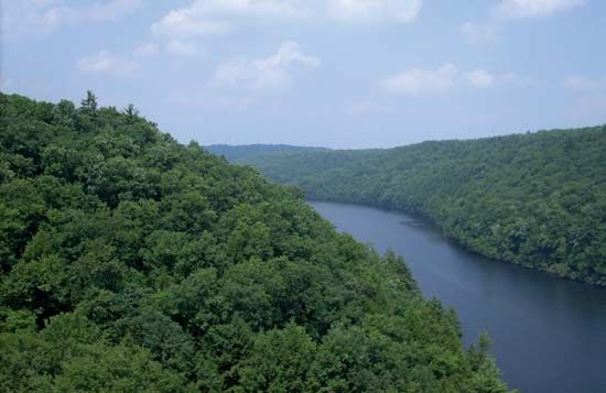
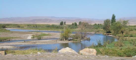
Chaobai River
The Chaobai River has a length of approximately 170 miles (275 km).
What is the length of the Chaobai River and which major cities does it flow through?
The Chaobai River has a length of approximately 170 miles (275 km).1
The river originates in the municipality of Beijing at the confluence of the Chao and Bai rivers. From there, it flows through the province of Hebei and enters the municipality of Tianjin, eventually emptying into the Bo Hai (Gulf of Chihli) north of the city of Tianjin. As it travels through Hebei, a portion of the waterway is known as the New Chaobai River, which spans about 110 miles (180 km).1
Are there any dams or reservoirs built on the Chaobai River, and what is their purpose?
Yes, there are significant water-management structures associated with the Chaobai River, most notably the Miyun Reservoir.
The Chao and Bai rivers, which are the main tributaries of the Chaobai, both flow into the Miyun Reservoir before issuing from it separately through their own individual dams to join and form the Chaobai River.1
The primary purposes of these large-scale water-conservation projects include:
- Water Supply: The reservoir system is essential for providing water to the expanding urban area of Beijing, which is not located directly on a major river Beijing](https://www.britannica.com/place/Beijing), which is not located directly on a major river.2
- Flow Regulation: These structures regulate the flow of rivers upstream by storing water during periods of heavy discharge and releasing it when river levels are low.2
- Flood Prevention: In addition to dams and reservoirs, sections of the river, such as the New Chaobai River, have been confined to specific channels to prevent the flooding that historically affected the region.1
What role does the Chaobai River play in Beijing’s water supply system?
The Chaobai River serves as a vital component of the water supply system for the municipality of Beijing, which is not situated directly on a major river and relies on external sources for its municipal consumption.12
The river’s role is primarily facilitated by the Miyun Reservoir, located northeast of the city. This large-scale water-conservation project, established in the early 1950s, impounds the waters of the Chao and Bai rivers—the Chaobai’s main tributaries—before they join to form the river itself. The reservoir regulates upstream flow by storing water during periods of heavy discharge and releasing it when river levels are low, providing a controlled supply for the expanding urban area.31
Since the 1980s, however, water demand has frequently exceeded the capacity of this reservoir system, leading to the depletion of groundwater reserves and reduced water quality. In response, the municipal government has implemented water-saving measures, imposed quotas, and explored inter-basin water diversion projects to supplement the supply.1
Where is the Chaobai River located in China, and what are its main tributaries?
The Chaobai River is located in northern China, flowing through Hebei province as well as the Beijing and Tianjin municipalities.1
The river is formed by the confluence of two main tributaries:1
- Chao River: This tributary originates in the mountains of northern Hebei and flows southeast toward the Miyun Reservoir.1
- Bai River: Also known as the “White” River, it rises near the Great Wall in Hebei. It flows southeast and is joined by several smaller tributaries, including the Hei (“Black”) River, before reaching the reservoir.1
After issuing separately from the reservoir through their respective dams, the Chao and Bai rivers join to form the Chaobai River, which eventually empties into the Bo Hai (Gulf of Chihli) near Tianjin.1
Sources
- Chaobai River — Encyclopædia Britannica
- Beijing - Municipal services — Encyclopædia Britannica
- Beijing - City site — Encyclopædia Britannica
- Tianjin - Public utilities — Encyclopædia Britannica
Published on · 3 min read