Clarion River
The Clarion River is a waterway located in northwestern Pennsylvania, U.S. It is formed at Johnsonburg in Elk county by the confluence of the East Branch and…
What is Clarion River?
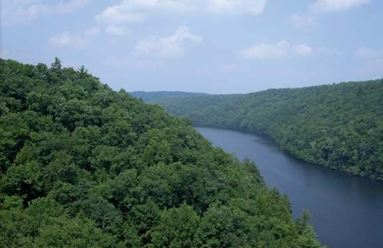
The Clarion River is a waterway located in northwestern Pennsylvania, U.S. It is formed at Johnsonburg in Elk county by the confluence of the East Branch and West Branch Clarion rivers.1
The river flows approximately 110 miles (177 km) in a generally southwest direction, passing through towns such as Ridgway and Clarion before emptying into the Allegheny River. The East Branch features the Clarion Dam and Reservoir near Glen Hazel. The river’s name is said to have been inspired by early surveyors who felt its sound resembled the clear, shrill tone of a clarion, a type of trumpet. The river also bisects Clarion county, which was named in its honor.12
What is the Allegheny River?
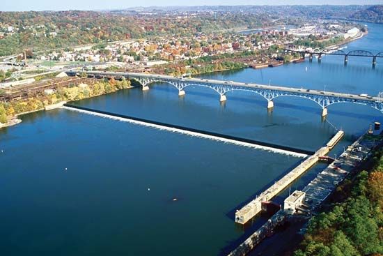
The Allegheny River is a 321-mile (516 km) waterway that originates in the hilly plateau region of Potter county, Pennsylvania. It flows northward into New York, where it is impounded by the Allegheny Reservoir, before turning southwest to eventually join the Monongahela River at Pittsburgh to form the Ohio River.3
The river drains an area of 11,700 square miles (30,300 square km), with major tributaries including the Clarion and Conemaugh rivers, as well as Red Bank, Oil, and French creeks. Historically significant for keelboat navigation, the river was later modified by dams built between 1903 and 1938 to ensure navigability from Pittsburgh to East Brady. Additionally, various flood-control dams have been constructed along its tributaries to manage water flow.3
What is the Allegheny Plateau?
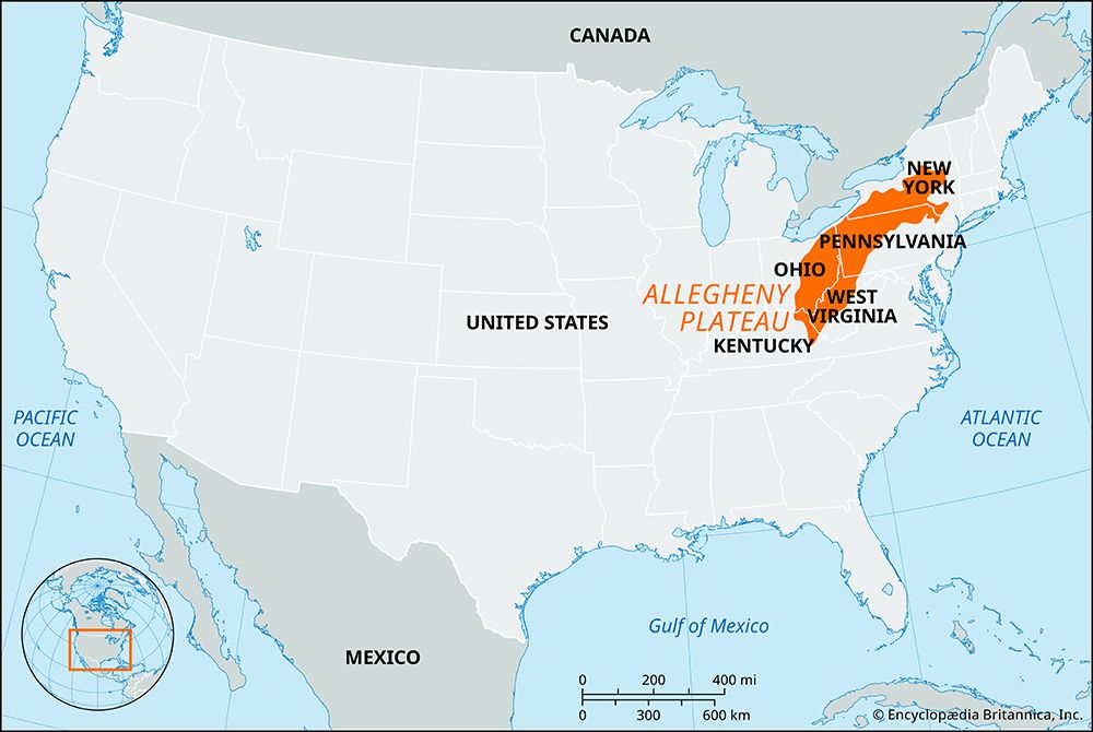
The Allegheny Plateau is the western section of the Appalachian Mountains in the United States. It extends southwestward from the Mohawk River valley in central New York to the Cumberland Plateau in southern West Virginia.5
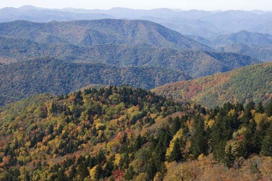
The plateau generally slopes toward the northwest and has been dissected by various streams, resulting in the formation of mountain ranges such as the Catskill and Allegheny mountains. Its northern portion is drained by the Allegheny, Delaware, and Susquehanna rivers, while the southern part is drained by the Ohio River system. The region is primarily covered by hardwood forests.5
Economically, the plateau is significant for its natural resources, with a history of development driven by the extraction of coal, natural gas, and petroleum, which helped break the early isolation of the area.5
What is the significance of Cook Forest State Park?
Cook Forest State Park is a notable natural area located within Forest county, Pennsylvania. Situated in the hilly region of the Allegheny Plateau, the park is part of a landscape defined by the Allegheny and Clarion rivers. While the provided information highlights its location within this rural, sparsely populated county, the park is recognized for its contribution to the region’s natural heritage alongside the Allegheny National Forest.
Sources
- Clarion River — Encyclopædia Britannica
- Clarion — Encyclopædia Britannica
- Allegheny River — Encyclopædia Britannica
- Allegheny Mountains — Encyclopædia Britannica
- Allegheny Plateau — Encyclopædia Britannica
- Alleghenian orogeny — Encyclopædia Britannica
- Forest — Encyclopædia Britannica
Published on · 2 min read