Chesapeake Bay
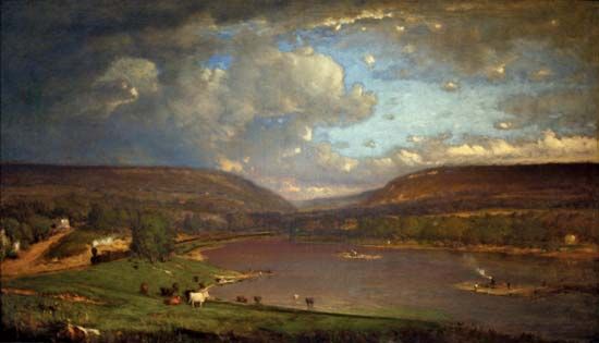
The Chesapeake Bay was formed by the submergence of the lower courses of the Susquehanna River and its various tributaries.
How was the Chesapeake Bay formed and what are its major geographical features?
The Chesapeake Bay was formed by the submergence of the lower courses of the Susquehanna River and its various tributaries.1
As the largest inlet in the Atlantic Coastal Plain of the eastern United States, the bay spans 193 miles (311 km) in length and varies from 3 to 25 miles (5 to 40 km) in width. Its geography is defined by several distinct features:1
- Shoreline Characteristics: The eastern shore is largely irregular, low, and marshy, while the western shore is characterized by long stretches of cliffs.1
- Tributaries: Numerous rivers empty into the bay, including the James, York, Rappahannock, Potomac, and Patuxent from the west, and the Wicomico, Nanticoke, Choptank, and Chester from the east.1
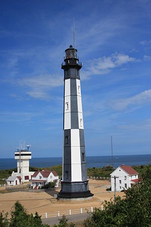
- Entrance: The bay’s opening to the Atlantic Ocean is flanked by Cape Charles to the north and Cape Henry to the south.1
- Connectivity: It serves as a vital waterway, connected to the Delaware River via the Chesapeake and Delaware Canal.12
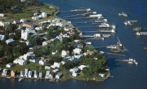
What is the Chesapeake Bay and where is it located in the United States?
The Chesapeake Bay is the largest inlet in the Atlantic Coastal Plain of the eastern United States. Located in the mid-Atlantic region, the bay is bordered by Maryland to the north and Virginia to the south.14
Geographically, the bay is an estuary—a body of water where fresh river water mixes with salt water from the ocean. It was formed by the submergence of the lower courses of the Susquehanna River and its various tributaries. Stretching 193 miles (311 km) in length, the bay serves as a critical waterway and is a prominent feature of the American coastline.514
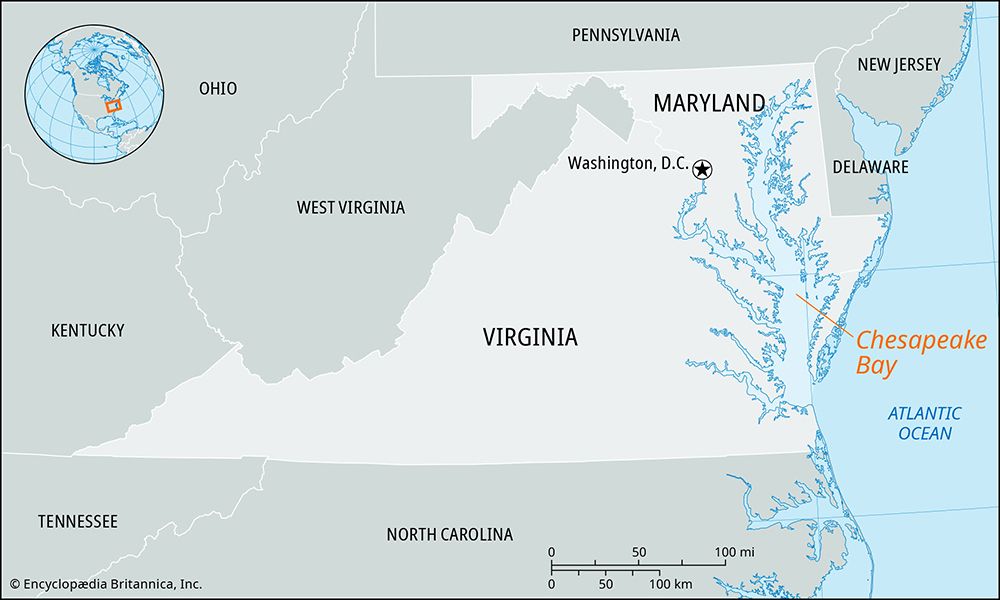
What are the main rivers that feed into the Chesapeake Bay?
The Chesapeake Bay is fed by a vast network of rivers that provide the freshwater necessary for its estuarine ecosystem. The primary river feeding the bay is the Susquehanna River, which flows into the head of the bay at Havre de Grace, Maryland.13
In addition to the Susquehanna, several other major rivers contribute to the bay’s water supply, categorized by the shore from which they enter:
- From the West: The James, York, Rappahannock, Potomac, and Patuxent rivers.1
- From the East: The Wicomico, Nanticoke, Choptank, and Chester rivers.1
These tributaries are essential to the health of the bay, as they transport nutrients and sediment that support the diverse marine life found within the region.16
How does the Chesapeake Bay compare to other major estuaries in North America?
The Chesapeake Bay is distinguished as the largest inlet in the Atlantic Coastal Plain of the United States, covering approximately 1,840 square miles (4,770 square km). While it shares the fundamental characteristics of an estuary—a body of water where freshwater from rivers mixes with saltwater from the sea—it differs from other North American estuaries in its specific geological formation and scale.152
Unlike structural basins such as San Francisco Bay or river-mouth estuaries like the Mississippi River, the Chesapeake was created by the submergence of the lower courses of the Susquehanna River and its tributaries. This process resulted in a highly irregular, 193-mile-long system that provides an extensive 3,200 miles of shoreline.125
While all estuaries are biologically productive due to nutrient trapping, the Chesapeake has historically been noted for its immense capacity to support fish and shellfish, famously described as a “great big outdoor protein factory.” However, like other major estuaries, it faces significant challenges from industrial and residential pollution, necessitating ongoing restoration efforts to mitigate damage to its ecosystem.15
Sources
- Chesapeake Bay — Encyclopædia Britannica
- Maryland - Drainage and soils — Encyclopædia Britannica
- Susquehanna River — Encyclopædia Britannica
- Chesapeake Bay — Merriam-Webster
- estuary — Encyclopædia Britannica
- Maryland: Top Questions — Encyclopædia Britannica
- estuary - Salt wedge estuaries — Encyclopædia Britannica
Published on · 3 min read