Chignecto Isthmus
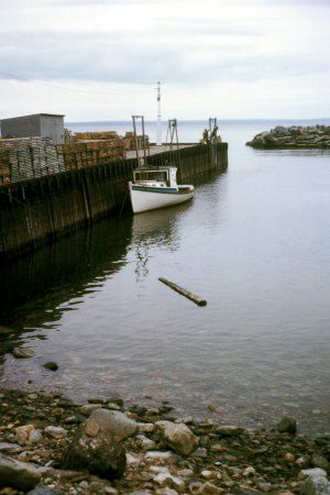
The Chignecto Isthmus is 15 miles (24 km) wide at its narrowest point, located just north of Amherst, Nova Scotia. This narrow neck of land serves as a vital…
What is the width of the Chignecto Isthmus at its narrowest point?
The Chignecto Isthmus is 15 miles (24 km) wide at its narrowest point, located just north of Amherst, Nova Scotia. This narrow neck of land serves as a vital connection between Nova Scotia and the Canadian mainland, situated between the Northumberland Strait and Chignecto Bay, an extension of the Bay of Fundy.1
Are there any historical or cultural significance of the Chignecto Isthmus to the indigenous peoples of the region?
The Chignecto Isthmus holds significant cultural importance for the Mi’kmaq people, the Indigenous inhabitants of the region. The very name “Chignecto” is derived from the Mi’kmaq language; while it is most commonly translated as “great swampy area,” some authorities suggest it may mean “foot cloth,” a term linked to a local legend.1
Historically, the Mi’kmaq were the primary Indigenous group occupying the Maritime Provinces, including the area surrounding the isthmus. Their traditional way of life was seasonally nomadic, involving hunting and fishing across the coastal and inland territories. During the 17th and 18th centuries, the Mi’kmaq played a pivotal role in the region’s history as allies of the French in their struggles against the British for control of the area.21
What is an isthmus, and how does the Chignecto Isthmus fit this definition?
An isthmus is a narrow strip of land that connects two larger landmasses and is bordered by water on two sides.1
The Chignecto Isthmus fits this definition perfectly as it serves as a narrow neck of land in the Maritime Provinces of Canada. It connects the peninsula of Nova Scotia to New Brunswick and the broader Canadian mainland. Geographically, it is situated between the Northumberland Strait to the east and Chignecto Bay—a northern extension of the Bay of Fundy—to the west, effectively separating these two bodies of water with its 15-mile (24-km) width at its narrowest point.3
Are there any notable engineering projects or infrastructure built across the Chignecto Isthmus?
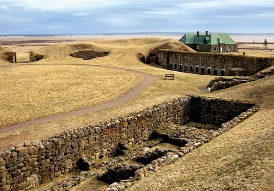
The Chignecto Isthmus has been a site of strategic military engineering throughout its history. During the 17th and 18th centuries, the isthmus served as a critical focal point in the territorial struggles between the British and French. To secure control over this narrow neck of land, several forts were constructed on its shores, including Fort Lawrence, Fort Gaspereau (also known as Fort Monckton), and Fort Beauséjour, the latter of which is now preserved as a national historic park.1
Regarding civil engineering, while there have been numerous proposals to cut a canal across the isthmus to connect the Northumberland Strait and the Bay of Fundy, none of these projects have ever been realized. Surveys for such a canal have been conducted periodically since 1822, but the plans have remained unexecuted.1
Sources
- Chignecto Isthmus — Encyclopædia Britannica
- Mi’kmaq — Encyclopædia Britannica
- isthmus — Merriam-Webster
- Panama Canal - Capital improvements — Encyclopædia Britannica
- Nova Scotia - Transportation and telecommunications — Encyclopædia Britannica
- New Brunswick - Transportation and telecommunications — Encyclopædia Britannica
Published on · 2 min read