Columbia Icefield
The Columbia Icefield is the largest ice field in the Rocky Mountains, spanning approximately 100 square miles (300 square km). It is situated astride the…
What is the Columbia Icefield and where is it located in Canada?
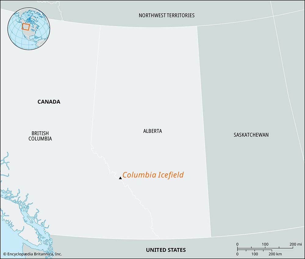
The Columbia Icefield is the largest ice field in the Rocky Mountains, spanning approximately 100 square miles (300 square km). It is situated astride the border of Alberta and British Columbia in Canada, lying partially within Jasper National Park.12
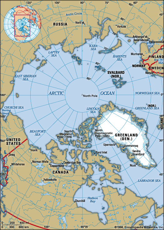
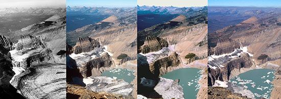
Often referred to as the “mother of rivers,” the ice field sits on the Continental Divide. Its meltwaters feed into river systems that eventually reach the Arctic Ocean, Hudson Bay, and the Pacific Ocean ), and the Pacific Ocean. The area features several major outlet glaciers, including the Athabasca Glacier and the Saskatchewan Glacier. Due to its location on a high-elevation plateau, it serves as a significant site for scientific research regarding climatic change and global warming.12
What are the main glaciers that make up the Columbia Icefield?
The Columbia Icefield consists of more than a dozen outlet glaciers that extend from its central summit plateau. While there are many such ice tongues, the two primary glaciers are:
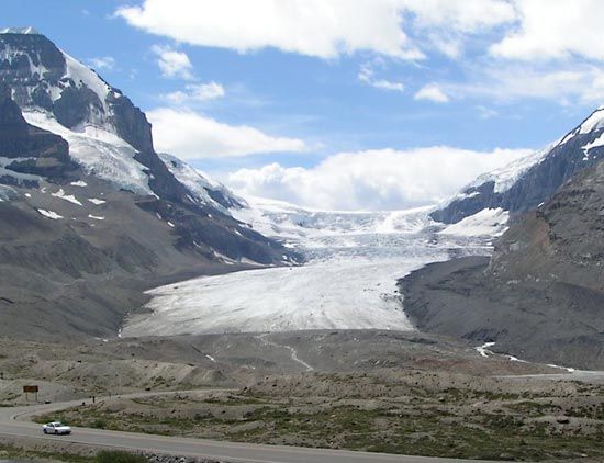
- Athabasca Glacier: This is the most accessible glacier, visible from the highway. It covers approximately 11.5 square miles (30 square km) and has been the subject of extensive research regarding climatic change and glacial recession since the 1950s.1
- Saskatchewan Glacier: Covering 23 square miles (60 square km), this is the largest glacier on the Columbia Icefield. Although it is not visible from the highway, its more gradual slope provides a common route for accessing the higher zones of the ice field.1
In addition to these two main outlets, parts of the ice field are visible as ice cliffs on prominent peaks, including Snow Dome, Mount Kitchener, and Mount Stutfield.1
What is the significance of the Columbia Icefield as a water source for North America?
The Columbia Icefield is often called the “mother of rivers” because its central accumulation zone, or névé, sits directly on the Continental Divide. This unique position allows its meltwaters to feed into major river systems that flow into three different oceans, making it a critical hydrological hub for North America.1
The significance of this water source is reflected in the vast reach of its drainage:
- Arctic Ocean: Meltwater from the Athabasca Glacier travels through the Athabasca River, Slave River, and Mackenzie River to reach the Arctic.1
- Hudson Bay: Waters from the Saskatchewan Glacier drain into the Saskatchewan River, eventually reaching Hudson Bay, an extension of the Atlantic.1
- Pacific Ocean: Drainage from the northwestern rim feeds the Fraser and Columbia rivers, which flow into the Pacific.1
Beyond surface flow, research has also identified a large underground river system draining from beneath the ice field, further highlighting its role in regional water distribution.1
We could dive deeper into how climatic change is currently impacting these vital water sources.
How does the size of the Columbia Icefield compare to other icefields in North America?
The Columbia Icefield covers approximately 100 square miles (300 square km) of glacial ice. While it is the largest ice field in the Rocky Mountains, it is considered relatively small when compared to other major glacial features in North America.1
Specifically, the Columbia Icefield is significantly smaller than the vast ice fields found in the Alaska-Canada border region, such as the Juneau Icefield, as well as the expansive ice sheets located in the northeastern Arctic on Ellesmere Island and Greenland. For historical context, it is also dwarfed by the Laurentide Ice Sheet, which covered more than 5,000,000 square miles (13,000,000 square km) during the Pleistocene Epoch.13
Sources
- Columbia Icefield — Encyclopædia Britannica
- Jasper National Park — Encyclopædia Britannica
- Laurentide Ice Sheet — Encyclopædia Britannica
Published on · 3 min read