Comeragh Mountains
The Comeragh Mountains are a mountain range located in County Waterford, Ireland. Stretching from the River Suir valley near Clonmel toward the coast, the…
What is Comeragh Mountains?
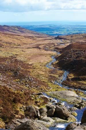
The Comeragh Mountains are a mountain range located in County Waterford, Ireland. Stretching from the River Suir valley near Clonmel toward the coast, the range trends northwest-southeast and reaches a maximum elevation of 2,597 feet (792 m).1
The landscape is defined by heavy glaciation, which has carved out dramatic, steep-walled corries—ice-scooped basins—such as the notable Coumshingaun, which features 1,000-foot (305 m) craggy walls surrounding a lake. Composed primarily of sandstone, the Comeragh Mountains form a continuous range with the adjacent Monavullagh Mountains to the south.1
How do glaciers shape mountain landscapes?
Glaciers are powerful agents of landscape transformation, primarily through the processes of abrasion and plucking. By acting like a sheet of sandpaper, glaciers use embedded rock debris to grind and polish the bedrock beneath them, while plucking removes larger chunks of rock from the glacier bed.23
In mountainous regions, these processes create distinct, dramatic landforms:
- Cirques and Tarns: Glaciers often originate in amphitheatre-shaped hollows called cirques. When these basins are over-deepened and filled with water, they form lakes known as tarns lakes known as tarns.2
- U-shaped Valleys: Unlike rivers, which carve narrow V-shaped valleys, glaciers widen and deepen existing valleys, resulting in characteristic U-shaped profiles with steep, vertical sidewalls.2
- Arêtes and Horns: As cirques erode the surrounding rock, they leave behind sharp, knife-edge ridges called arêtes. When multiple cirques erode a mountain from different sides, they create a sharp, pyramid-like peak known as a horn, such as the Matterhorn.21
What are some other famous mountain ranges in Ireland?
Ireland features a diverse array of mountain ranges that ring its central lowland plain. Beyond the Comeragh Mountains, several other notable ranges define the Irish landscape:
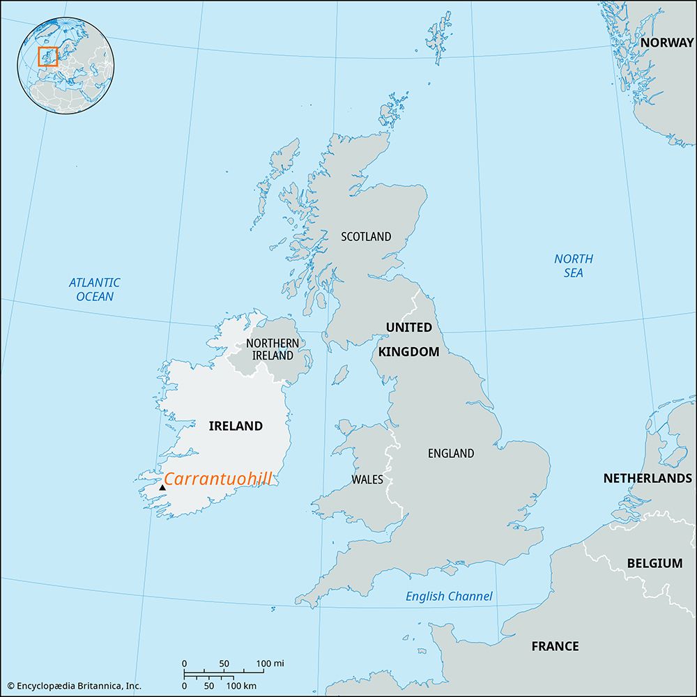
- Macgillycuddy’s Reeks: Located in County Kerry, this is the highest mountain range in Ireland. It is composed of Devonian sandstones and includes Carrantuohill, which reaches an elevation of 3,414 feet (1,041 m).78
- Wicklow Mountains: Situated in the east, this extensive range forms part of the Leinster Chain. It is characterized by granite hills and includes Lugnaquillia, the highest peak in the range at 3,039 feet (926 m).98
- The Twelve Bens: Found in the Connemara region of County Galway, these are sharp-peaked quartzite ranges with many summits exceeding 2,000 feet (610 m).1
- Blue Stack Mountains: Located in the north of the country, these mountains form part of the coastal highlands that surround the central plain.8
- Knockmealdown Mountains: Situated in the south, these mountains are part of the coastal fringe that illustrates the country’s complex geological history.8
What is a corrie and how is it formed?
A corrie, also known as a cirque, is an amphitheatre-shaped basin with steep, precipitous walls located at the head of a glacial valley.1213
Formation Process
The formation of a corrie is closely linked to the activity of a glacier and the presence of a bergschrund—a large crevasse that separates stationary ice from moving glacier ice. The process generally involves the following stages:12
- Frost Shattering: During early summer, the bergschrund opens, exposing the rock at the base of the headwall to daily temperature fluctuations. This leads to rapid disintegration of the rock through frost action and ice wedging.1213
- Erosion: The resulting rock debris falls into the bergschrund or onto the glacier surface. This material is eventually incorporated into the ice and transported to the base of the glacier. Once there, these rocks act as tools, allowing the glacier to scour, striate, and polish the floor of the basin.13
- Basin Development: As the glacier erodes the bedrock, it often creates a concave, over-deepened basin. If the glacier later retreats or disappears, this basin may fill with water to form a small lake known as a tarn.1213
Sources
- Comeragh Mountains — Encyclopædia Britannica
- glacial landform - Cirques , tarns, U-shaped valleys, arêtes, and horns — Encyclopædia Britannica
- glacial landform - Glacial erosion — Encyclopædia Britannica
- glacial landform - Small-scale features of glacial erosion — Encyclopædia Britannica
- Pleistocene Epoch - Glaciation — Encyclopædia Britannica
- geology - Glacial geology — Encyclopædia Britannica
- Wicklow Mountains — Encyclopædia Britannica
- Macgillycuddy’s Reeks — Encyclopædia Britannica
- Ireland - Relief — Encyclopædia Britannica
- Macgillicuddy's Reeks — Merriam-Webster
- Connemara — Encyclopædia Britannica
- cirque — Encyclopædia Britannica
- glacier - Surface features — Encyclopædia Britannica
Published on · 3 min read