Connecticut River
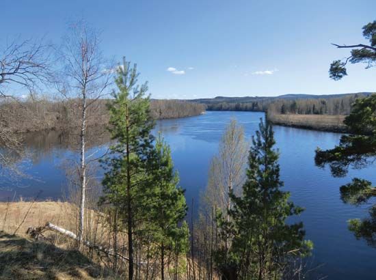
The Connecticut River has been a foundational element in the development of New England, serving as a vital corridor for settlement, commerce, and industry.
How has the Connecticut River influenced the development of New England?
The Connecticut River has been a foundational element in the development of New England, serving as a vital corridor for settlement, commerce, and industry.
Early Settlement and Agriculture
European colonization of the region began in the 1630s, with settlers from the Massachusetts Bay Colony establishing communities in the middle Connecticut River valley due to the area’s fertile soil. These river settlements eventually united to form the core of the state of Connecticut. The river valley remains one of the most densely populated regions in the state today.123
Industrialization and Infrastructure
During the 19th century, the river’s power was harnessed to drive the growth of manufacturing. Many towns developed as mill villages, with factories clustered along the water to utilize waterwheels for power. While the energy source for manufacturing later shifted to steam and electricity, these river-based towns became the state’s primary industrial centers. Additionally, the river valley has historically supported extensive transportation networks, including railroads and modern interstate highways.32
Modern Development
Today, the river is one of the most developed in the United States for hydroelectric power, featuring a series of dams and reservoirs designed for energy production and flood control.4
What is the geographical location and length of the Connecticut River?
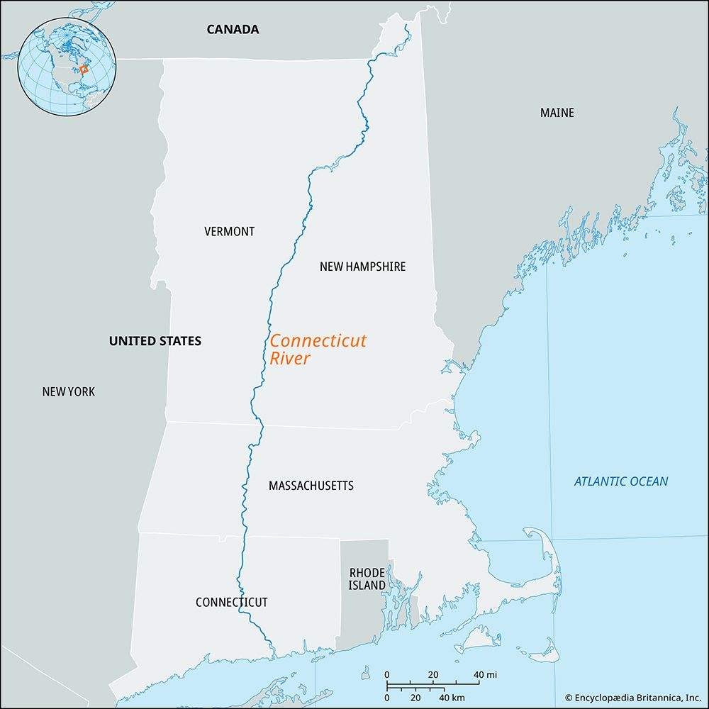
The Connecticut River is the longest stream in New England, spanning a total course of 407 miles (655 km).1
The river rises in the Connecticut lakes located in northern New Hampshire. After flowing through New Hampshire, it travels southwestward, forming the border between New Hampshire and Vermont for approximately 238 miles (383 km). It continues its southward journey across Massachusetts and Connecticut, eventually emptying into the Long Island Sound1.4
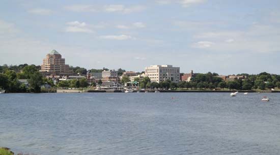
What are the major cities and towns located along the Connecticut River?
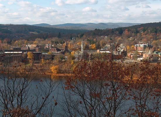
The Connecticut River valley has served as a primary corridor for settlement and development in New England for over 300 years. Several cities and towns are situated along its course, many of which originated as mill villages that harnessed the river’s water power for 19th-century manufacturing.15
Key municipalities located along or within the Connecticut River valley include:
- Hartford: The state capital of Connecticut, located in the heart of the river valley.54
- East Hartford: Situated directly across the river from Hartford.4
- Middletown: A historic manufacturing center located along the river.4
- Windsor: One of the earliest areas of settlement in the valley.46
- Windsor Locks: Known for its historical canal and locks system, which allowed river traffic to bypass local rapids.46
- Wethersfield: A significant historic town located along the river’s path.4
- Enfield: Located in the northern part of the valley.4
The population density of Connecticut is notably higher along the corridor that extends from the coast northward through the Connecticut River valley toward Massachusetts. While many of these locations began as small mill villages, they evolved into manufacturing centers that remain integral to the region’s economic and social structure today.5
How has the Connecticut River been harnessed for hydroelectric power?
The Connecticut River is recognized as one of the most extensively developed rivers in the United States regarding hydroelectric power. Its development is characterized by a series of small power dams, storage ponds, and factories located along its swift-flowing tributaries, such as the Deerfield and Farmington rivers.1
Following devastating floods in 1936, a significant federal project was initiated to manage the river’s flow and harness its energy, resulting in the construction of 20 dams and reservoirs. A notable example of this infrastructure is the dam at Wilder, Vermont, which supports a reservoir extending 46 miles (74 km) in length.1
While these structures provide essential renewable energy, the development of such dams has historically raised complex questions regarding their impact on the natural environment, including the obstruction of migratory fish populations and the alteration of local landscapes. Balancing the economic benefits of hydroelectric generation with environmental stewardship remains a subject of ongoing discussion.18
Sources
- Connecticut River — Encyclopædia Britannica
- Connecticut - Colonization — Encyclopædia Britannica
- Connecticut - Transportation and telecommunications — Encyclopædia Britannica
- Connecticut - Relief and drainage — Encyclopædia Britannica
- Connecticut - Settlement patterns — Encyclopædia Britannica
- list of cities and towns in the United States - Connecticut — Encyclopædia Britannica
- Windsor Locks — Encyclopædia Britannica
- Housatonic River — Encyclopædia Britannica
- dam - Rise of environmental and economic concerns — Encyclopædia Britannica
Published on · 3 min read