Coromandel Peninsula
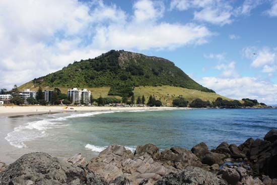
The Coromandel Peninsula is located on the east-central North Island of New Zealand.
Where is the Coromandel Peninsula located in New Zealand?
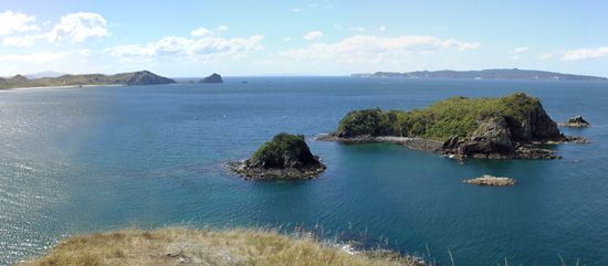
The Coromandel Peninsula is located on the east-central North Island of New Zealand.1
This 70-mile-long promontory extends into the South Pacific Ocean and is bordered to the west by the Firth of Thames and the Hauraki Gulf, and to the east by the Bay of Plenty. The region is characterized by the Coromandel Range, which includes Mount Moehau, and serves as a popular destination for tourists traveling from Auckland.1
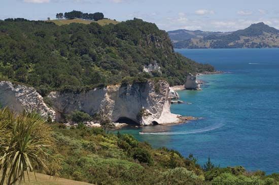
What are some popular tourist attractions and activities on the Coromandel Peninsula?
The Coromandel Peninsula is a popular destination for visitors from Auckland, known for its scenic coastal landscapes and historical significance. While the region is widely recognized as a favorite area for tourism, specific modern attractions and activities are not detailed in the provided records.
Historically, the peninsula offers sites of interest such as Mercury Bay, where Captain James Cook landed in 1769 to observe the transit of Venus. Additionally, the settlement of Coromandel is notable as the site of a major gold discovery in 1852, and Whitianga serves as one of the area’s largest settlements on the Bay of Plenty.
What role did the Coromandel Peninsula play in New Zealand’s gold rush history?
The Coromandel Peninsula played a significant role in New Zealand’s mining history, serving as a primary site for gold discovery and extraction during the 19th century.
- Early Discoveries: The town of Coromandel, located on the western side of the peninsula, became a focal point for the industry following a major gold discovery in 1852.
- Expansion to Waihi: Further exploration led to the discovery of gold and silver just north of Waihi in 1875. This prompted the founding of the town of Waihi, which became a major mining center where operations continued until the 1950s. The extent of this activity was so significant that numerous mining shafts were constructed directly beneath the town.
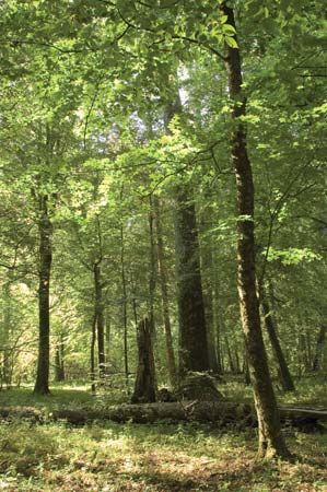
While the peninsula’s dense forests were systematically cleared during the latter half of the 19th century to support these and other regional developments, the legacy of the gold rush remains a defining aspect of the area’s historical identity.
What is the significance of the Coromandel Range?
The Coromandel Range is a significant geographical feature of the North Island of New Zealand. Extending 90 miles in length, the range forms the mountainous spine of the Coromandel Peninsula.
Its significance is defined by its notable elevations and its role in the region’s topography:
- Peak Elevations: The range reaches its highest points at Mount Moehau, which stands at 2,926 feet (892 meters) on the peninsula, and Mount Te Aroha, which rises to 3,126 feet (953 meters) further to the south.1
- Regional Geography: By running the length of the peninsula, the range acts as a central divide between the Firth of Thames and Hauraki Gulf to the west and the Bay of Plenty to the east.1
Historically, the dense forests that once covered these ranges were systematically cleared during the latter half of the 19th century, a period that also saw the rise of the region’s gold mining industry.1
Sources
- Coromandel Peninsula — Encyclopædia Britannica
- gold processing - Cyanidation — Encyclopædia Britannica
- Waihi — Encyclopædia Britannica
- New Zealand - Annexation and further settlement — Encyclopædia Britannica
Published on · 2 min read