Fergusson Island
Fergusson Island is the largest of the D’Entrecasteaux Islands, which are part of Papua New Guinea in the southwestern Pacific Ocean.
Where is Fergusson Island located within Papua New Guinea?
Fergusson Island is the largest of the D’Entrecasteaux Islands, which are part of Papua New Guinea in the southwestern Pacific Ocean.1
The island is situated in the Solomon Sea, approximately 30 miles (50 km) across the Ward Hunt Strait from the southeastern tip of the island of New Guinea of the island of New Guinea. Its specific position is defined by its proximity to neighboring islands: it is separated from Goodenough Island to the northwest by Moresby Strait and from Normanby Island to the southeast by Dawson Strait.1
What are the main geographical features of Fergusson Island?
Fergusson Island is a volcanic island characterized by rugged terrain and evidence of past geological activity. Spanning 519 square miles (1,345 square km), the island reaches an elevation of 6,801 feet (2,073 meters) near Wadalei in the northeast.1
Key geographical features include:
- Volcanic Activity: While the central volcanic peak is extinct, the island features active geothermal phenomena, including geysers and fumaroles.1
- Hydrology: The landscape is defined by numerous short streams that drain the island’s interior.1
- Coastline: The island’s perimeter is marked by several prominent bays, including Seymour Bay on the west, Sebutuia Bay on the east, and Hughes Bay on the north.1
- Resources: The northern coast, specifically at Wapolu, contains gold deposits that have been subject to mining exploration.1
The island serves as the largest member of the D’Entrecasteaux Islands group, situated within the Solomon Sea.1
How large is Fergusson Island compared to other islands in Papua New Guinea?
Fergusson Island, which covers an area of 519 square miles (1,345 square km), is the largest of the D’Entrecasteaux Islands. While it is significant within its local island group, it is considerably smaller than the major landmasses of Papua New Guinea.15
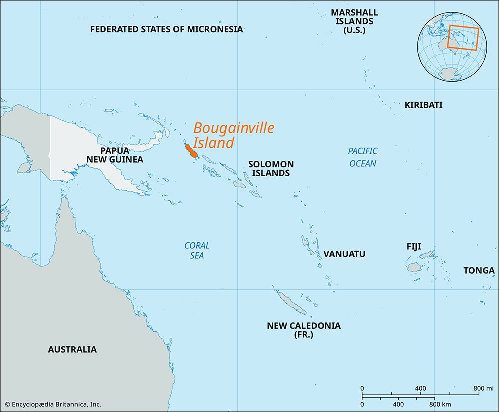
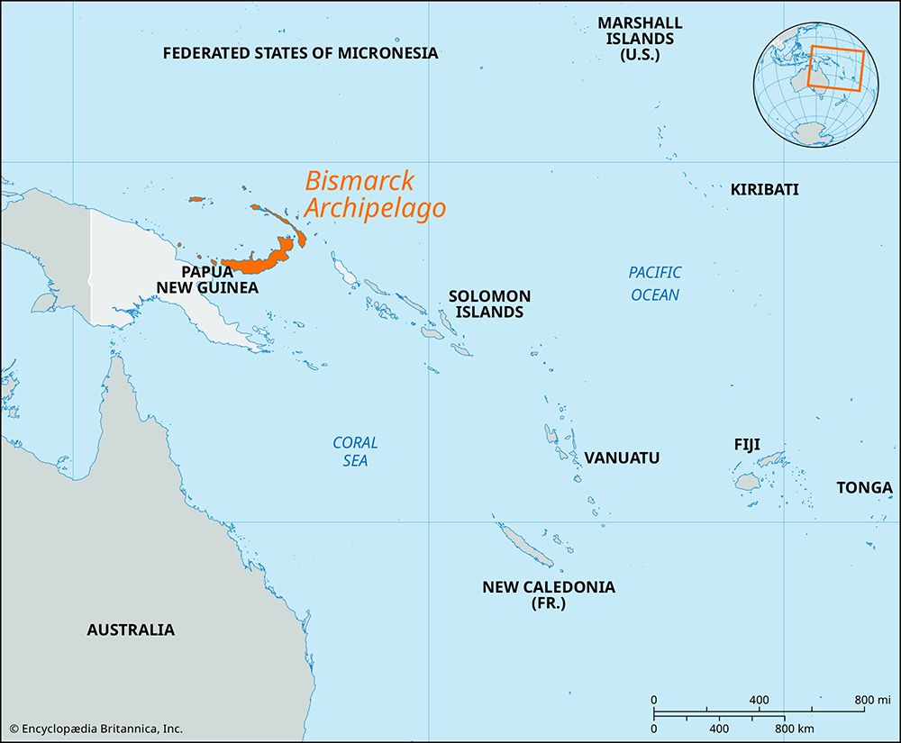
For context, Papua New Guinea administers the eastern half of New Guinea, which is the world’s second-largest island. Additionally, other major islands within the country, such as New Britain and Bougainville Island, possess much larger land areas than Fergusson Island. Fergusson Island is categorized among the various offshore island groups—including the Bismarck Archipelago and the Louisiade Archipelago—that surround the primary mainland.563
What is the economic significance of Fergusson Island to Papua New Guinea?
Fergusson Island’s economic significance to Papua New Guinea is currently limited, primarily revolving around small-scale agricultural and historical resource extraction activities.
- Agriculture: Like other islands in the D’Entrecasteaux Islands group, the island supports the production of copra in its fertile coastal areas, which contributes to the local economy.1
- Mining: The island has a history of mineral exploration. Specifically, gold deposits located at Wapolu on the northern coast were subject to brief mining operations during the mid-1990s. While the region has seen interest in alluvial gold mining in the past, there is no indication of large-scale, ongoing industrial economic activity.74
The island’s primary settlements, Salamo and Mapamoiwa, serve as local hubs, but the island does not currently function as a major economic driver for the nation.7
Sources
- Fergusson Island — Encyclopædia Britannica
- D'Entrecasteaux Islands — Merriam-Webster
- list of islands - Papua New Guinea — Encyclopædia Britannica
- Goodenough Island — Encyclopædia Britannica
- Papua New Guinea — Encyclopædia Britannica
- Papua New Guinea - Land — Encyclopædia Britannica
- D’Entrecasteaux Islands — Encyclopædia Britannica
Published on · 2 min read