Fogo Island
Fogo Island is an island located in Cabo Verde within the Atlantic Ocean, situated approximately 400 miles off the coast of West Africa between the islands…
What is Fogo Island?
Fogo Island is an island located in Cabo Verde within the Atlantic Ocean, situated approximately 400 miles off the coast of West Africa between the islands of Santiago and Brava.1
The island is defined by its active volcano, Pico, which stands at 9,281 feet (2,829 meters) and serves as the highest point of the entire archipelago. The landscape supports the cultivation of various crops, including coffee, peanuts, beans, oranges, and tobacco, primarily on its northern and western sides. The island covers an area of 184 square miles (475 square km), and its principal town, São Filipe, is located on the western shore.1
How does the Pico volcano affect the island’s landscape?
The Pico volcano is the defining feature of Fogo Island, contributing to its rugged, mountainous, and rocky terrain. As an active volcano, it is the highest point in the entire Cabo Verde archipelago, reaching an elevation of 9,281 feet (2,829 meters).12
The island’s landscape is heavily influenced by its volcanic origins, which result in soils that are generally shallow, coarse, and rocky. Much of the land consists of volcanic rock, such as basalt, which limits agricultural potential; consequently, more than three-fifths of the land is arid and suitable only for rough grazing. While the northern and western sides of the island support the cultivation of crops like coffee, peanuts, and beans, the overall environment faces significant challenges from soil erosion caused by both wind and water.21
What is the climate like in Cabo Verde?
The climate of Cabo Verde is generally moderate, characterized by stable temperatures and extreme aridity. The archipelago experiences a tropical climate where drought is a persistent challenge.34
Temperatures remain relatively consistent throughout the year:
- Coolest month: February, with temperatures in the low 70s F (low 20s C).3
- Hottest and wettest months: August and September, with temperatures in the low 80s F (high 20s C).3
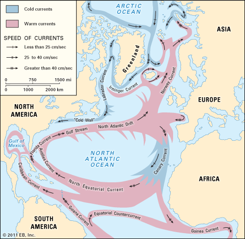
The islands are significantly influenced by the intertropical convergence zone (ITCZ). During summer, the ITCZ moves north, and the Guinea Current brings heat and moisture, which can lead to increased precipitation, particularly in higher elevations. However, rainfall is highly unpredictable, and years may pass with little to no precipitation. When rain does occur, it often arrives as torrential downpours that can cause flooding and erosion. Additionally, the clashing weather fronts near the islands can generate hurricanes that travel across the Atlantic Ocean.32
What are some other islands in the Cabo Verde archipelago?
The Cabo Verde archipelago is divided into two main groups: the northern Barlavento (Windward) islands and the southern Sotavento (Leeward) islands.5
Barlavento (Windward) Islands
- Santo Antão
- São Vicente
- Santa Luzia (uninhabited)
- São Nicolau
- Sal
- Boa Vista
Sotavento (Leeward) Islands
In addition to these major islands, the archipelago includes several smaller islets, such as the Rombos (Grande, Luís Carneiro, and Cima) and the islets of Raso and Branco.54
Sources
- Fogo Island — Encyclopædia Britannica
- Cabo Verde - Relief, drainage, and soils — Encyclopædia Britannica
- Cabo Verde - Climate — Encyclopædia Britannica
- Sotavento Islands — Encyclopædia Britannica
- Cabo Verde - Land — Encyclopædia Britannica
- Cabo Verde — Encyclopædia Britannica
- Cabo Verde: Top Questions — Encyclopædia Britannica
Published on · 2 min read