Fire Island
A spit (or sandspit) is a narrow coastal landform composed of sand or shingle that is attached to the mainland at one end. These features typically form…
What is a sandspit, and how was Fire Island formed?
A spit (or sandspit) is a narrow coastal landform composed of sand or shingle that is attached to the mainland at one end. These features typically form where a coastline abruptly changes direction, often across the mouths of estuaries, through the longshore movement of sediment. They may develop a curved or hooked shape due to the refraction of waves around their ends.12
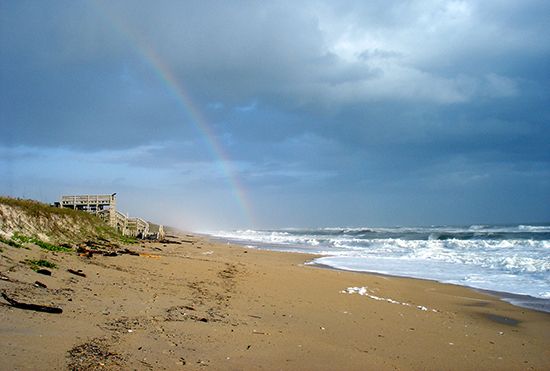
Fire Island, located off the southern shore of Long Island, is an elongated sandspit. Barrier islands like Fire Island are generally formed by wave action, which deposits sediment to build up an equilibrium profile. As these accumulations grow, wind can raise the level of the material to form sand dunes. In many cases, material carried alongshore to form a spit can develop into a barrier that encloses a lagoon—in this instance, the Great South Bay and parts of Moriches Bay.345
Where is Fire Island located, and what are its notable geographical features?
Fire Island is an elongated sandspit located in Suffolk county, New York. Situated off the southern shore of Long Island, it serves as a barrier that shelters the Great South Bay and parts of Moriches Bay from the Atlantic Ocean.1
The island spans approximately 32 miles (51 km) in length and reaches a maximum width of 0.5 miles (1 km). Its notable geographical and environmental features include:
- Sand Dunes: These formations protect the island’s interior, including unique vegetation zones.1
- Sunken Forest: A 73-acre area featuring sassafras, holly, and tupelo trees. These trees grow until they reach the height of the surrounding dunes, at which point they are sheared off by wind and blowing sand.1
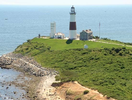
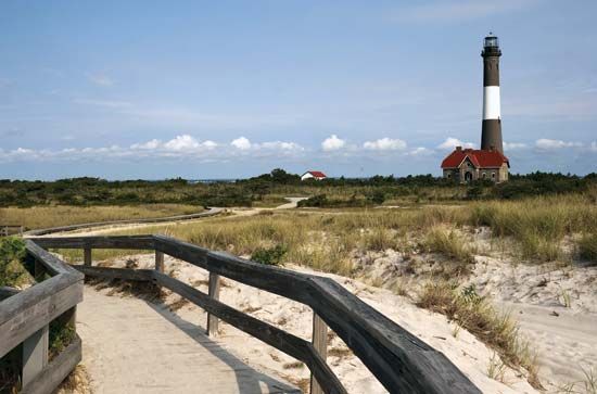
- Lighthouse: Located at the western tip, this structure was built in 1858 due to the high frequency of shipwrecks in the area.1
- Protected Lands: Much of the island is preserved within the Fire Island National Seashore, alongside state and county parks.1
What are some popular recreational activities and attractions on Fire Island?
Fire Island is a popular summer resort destination that offers a variety of recreational activities and attractions centered around its unique coastal environment. Because the island restricts automobile traffic, visitors typically arrive via passenger ferries, creating a pedestrian-friendly atmosphere across its small communities.1
Key attractions and activities include:
- Outdoor Recreation: Visitors can enjoy the expansive beaches and natural landscapes within Robert Moses State Park on the western end and Smith Point Park on the eastern end.1
- Nature Exploration: The Fire Island National Seashore offers opportunities to explore diverse habitats, most notably the “sunken forest.” This 73-acre area contains sassafras, holly, and tupelo trees that are uniquely shaped by the wind and sand dunes.1
- Historical Sites: The historic lighthouse at the western tip of the island remains a major point of interest for visitors. Additionally, the William Floyd Estate, located on Long Island across from the eastern end of the island, is managed as part of the national seashore.1
How does longshore drift move sediment along a coastline?
Longshore drift is the process by which sediment is transported along a coastline through the combined action of waves and longshore currents.
Because waves typically approach the coast at an acute angle rather than parallel to it, they undergo refraction as they enter shallow water. This bending generates a current that flows parallel to the shoreline. While the longshore current provides the mechanism for transport, the waves themselves are responsible for picking up sediment from the bottom, effectively putting it into suspension so the current can carry it along the coast.6
The speed and direction of this transport are primarily dictated by the angle of wave approach, which is ultimately determined by wind direction. Depending on these conditions, sediment can be moved in either direction along a shore. In many regions, a dominant wind direction leads to a significant net transport of sediment, sometimes exceeding 100,000 cubic meters per year, while other areas may experience a balance where transport in one direction is offset by movement in the other.6
Sources
- Fire Island — Encyclopædia Britannica
- spit — Encyclopædia Britannica
- sandspit — Merriam-Webster
- Fire Island National Seashore — Merriam-Webster
- lagoon - Waves , tides, and surf — Encyclopædia Britannica
- coastal landforms - Longshore currents — Encyclopædia Britannica
- coastal landforms - Beaches — Encyclopædia Britannica
- coastal landforms - Landforms of depositional coasts — Encyclopædia Britannica
Published on · 3 min read