Gambaga Scarp
The Gambaga Scarp is a prominent line of cliffs located in northeastern Ghana, western Africa. It serves as the elevated northern boundary of the Volta River…
What is Gambaga Scarp?
The Gambaga Scarp is a prominent line of cliffs located in northeastern Ghana, western Africa. It serves as the elevated northern boundary of the Volta River basin and marks the eastern section of the granite plateaus of Wa and Mamprusi.1
Geologically, the scarp is composed of nearly horizontal sandstones, and its steep, erosional faces rise to elevations between 1,000 and 1,500 feet (300–460 meters). Due to this elevation, the area experiences a relatively cool and moist climate, which supports the cultivation of yams and grains, as well as stock raising.1
The town of Gambaga, situated on the plateau, serves as the primary settlement in the region; it was historically a cotton-collecting center and is now a popular hill station. The scarp is one of the most significant features bordering the Voltaian Basin, which is characterized by its narrow, uplifted plateaus.12
What is the difference between a scarp and a plateau?
While both terms describe landforms, they represent distinct geological features.
A plateau is an extensive area of relatively flat upland that stands at a higher elevation than the surrounding terrain. Plateaus are typically bounded by steep slopes on at least one side and are formed by tectonic processes such as volcanism, crustal shortening, or thermal expansion of the lithosphere.34
In contrast, a scarp (or escarpment) is a steep slope, cliff, or wall of rock, earth, or ice. Rather than being a broad, flat-topped region, a scarp is the abrupt, vertical, or near-vertical face that often marks the boundary of a plateau or a change in elevation between two land surfaces. Essentially, while a plateau is the elevated, flat landmass itself, the scarp is the steep edge or “drop-off” that defines its perimeter.15367
How does the Volta River basin shape the geography of Ghana?
The Volta River basin is the primary drainage system of Ghana, fundamentally shaping the country’s physical landscape and relief.
The Voltaian Basin
The basin occupies a vast north-central region characterized by Paleozoic sedimentary deposits, primarily shales and sandstones. This area, known as the Voltaian Basin, is a low-lying region where elevations rarely exceed 500 feet (150 meters). The basin is bounded by uplifted edges that form narrow plateaus, reaching heights of 1,000 to 2,000 feet, which are defined by prominent features like the Kwahu Plateau in the south and the Gambaga Scarp in the north.9
Hydrological Impact
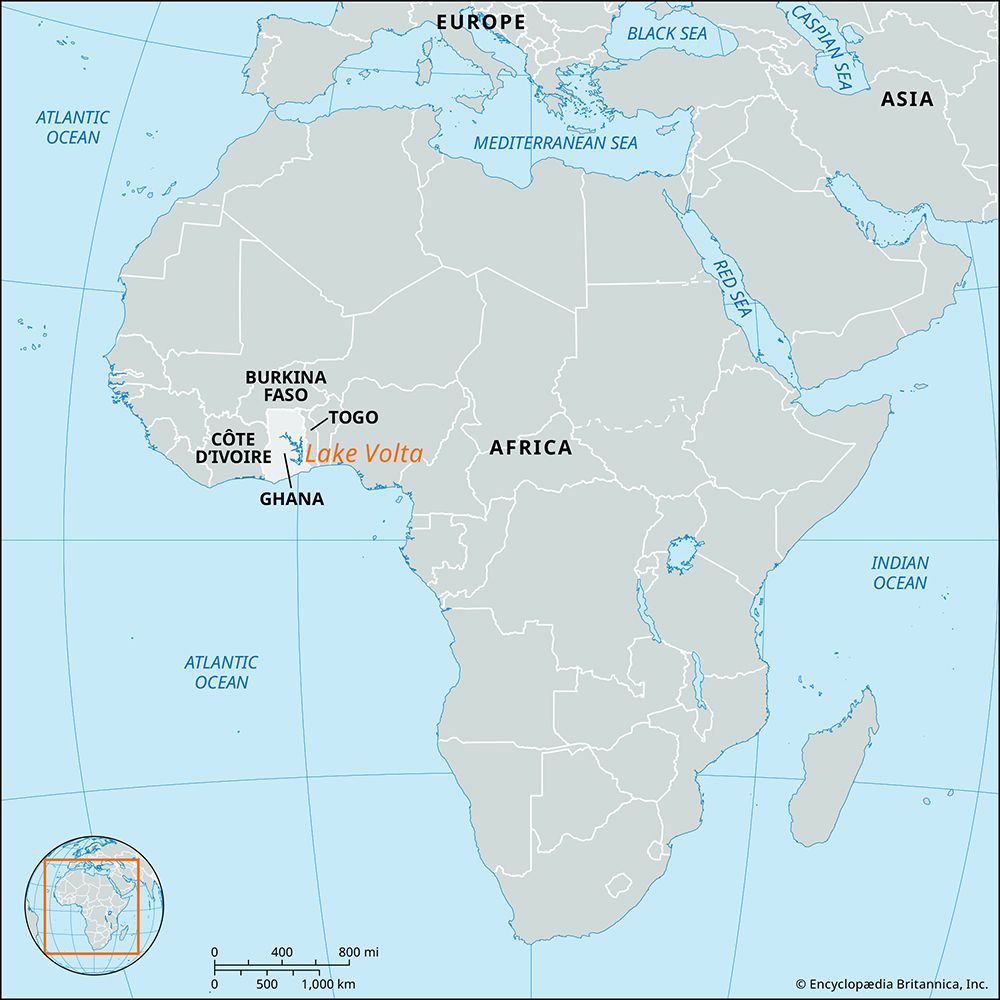
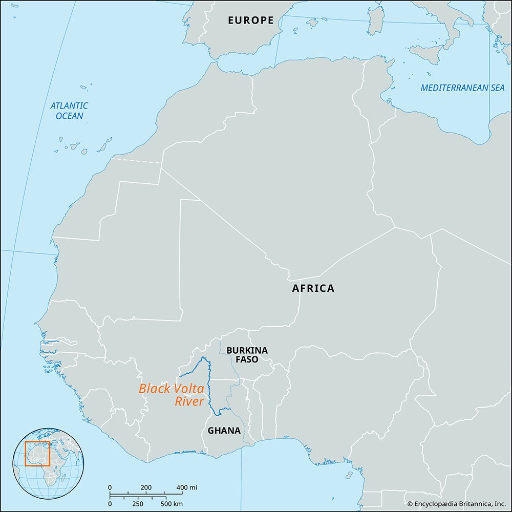
The geography was significantly altered by the completion of the Akosombo Dam in 1965. This project created Lake Volta, one of the world’s largest artificial lakes, which now covers approximately 3,275 square miles and dominates the central part of the country. The river system, fed by the Black Volta, White Volta, and Oti rivers, acts as a central artery that dictates regional drainage patterns and supports vital waterways, including the Afram River. including the Afram River.92
What are some other major geological features found in Ghana?
Beyond the Volta River basin, Ghana features a diverse array of geological formations shaped by ancient tectonic activity and long-term erosion:
- Akwapim-Togo Ranges: Extending from the coast near Accra to the Togo border, this narrow belt of folded Precambrian rocks contains the country’s highest peaks, including Mount Afadjato (2,903 feet). These ranges are part of the larger Togo-Atakora Mountains system.21112
- Lake Bosumtwi: Located south of Kumasi, this is Ghana’s only true natural lake. It is unique for being situated within a meteorite impact crater and lacks an outlet to the sea.2
- Accra Plains: Situated in the southeastern corner of the country, this region consists of gently rolling terrain underlain by ancient Precambrian gneisses. The landscape is punctuated by inselbergs—steep-sided hills that remain as remnants after surrounding rock has eroded.2
- Dissected Peneplains: Much of the southwestern, northwestern, and northern regions consist of a dissected peneplain—a land surface worn down by erosion into a nearly flat plain, later uplifted and carved into hills and valleys.2
- Coastal Features: The coastline is characterized by sandy bays, rocky promontories, and numerous lagoons formed at the mouths of small streams.2
Sources
- Gambaga Scarp — Encyclopædia Britannica
- Ghana - Relief and drainage — Encyclopædia Britannica
- plateau — Encyclopædia Britannica
- scarp — Merriam-Webster
- scarps — Merriam-Webster
- plateau - Formative processes — Encyclopædia Britannica
- oceanic plateau — Encyclopædia Britannica
- Mali - Relief — Encyclopædia Britannica
- Volta River — Encyclopædia Britannica
- Afram River — Encyclopædia Britannica
- Ghana - Plant and animal life — Encyclopædia Britannica
- Akwapim-Togo Ranges — Encyclopædia Britannica
- Ghana - Resources and power — Encyclopædia Britannica
- Atakora Mountains — Encyclopædia Britannica
Published on · 3 min read