Glacier National Park
Glacier National Park refers to two distinct protected areas. The most prominent is a scenic wilderness in the Rocky Mountains of Montana, U.S., established…
What is Glacier National Park?
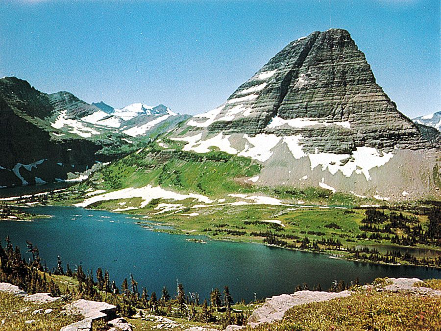
Glacier National Park refers to two distinct protected areas. The most prominent is a scenic wilderness in the Rocky Mountains of Montana, U.S., established in 1910. It straddles the Continental Divide and, alongside Canada’s Waterton Lakes National Park, forms the Waterton-Glacier International Peace Park. This region is renowned for its glacial-sculpted landscapes, diverse wildlife like grizzly bears and mountain goats, and the iconic Going-to-the-Sun Road.
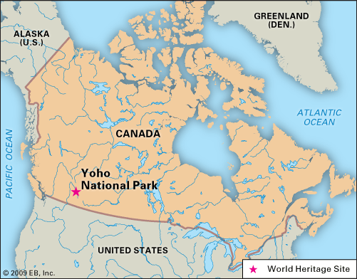
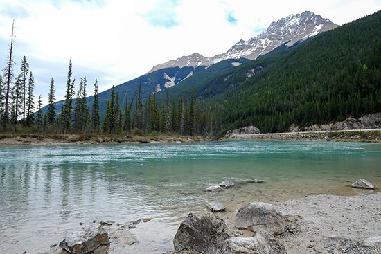
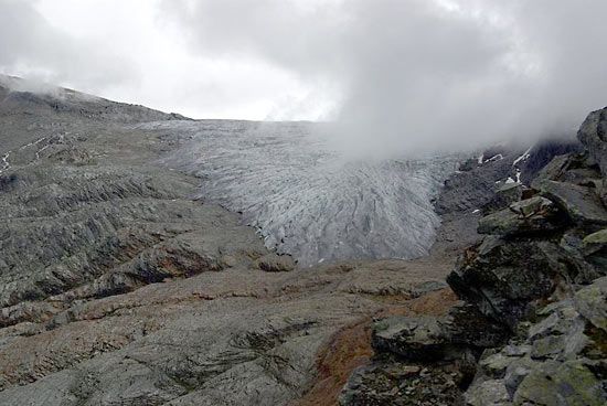
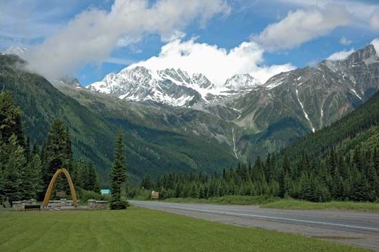
A second Glacier National Park is located in southeastern British Columbia, Canada. Established in 1886, this park sits within the Selkirk Mountains and is characterized by immense ice fields, such as the Illecillewaet Glacier, and the unique Nakimu Caves. It is traversed by the Trans-Canada Highway.
How do glaciers shape the landscape over time?
Glaciers reshape the Earth’s surface through two primary processes: erosion and deposition.34
Glacial Erosion
Glaciers act as powerful abrasive systems, similar to sandpaper, by using rock debris embedded in their base to grind down the landscape. This occurs through two main mechanisms:3
- Abrasion: As glaciers move, they drag rock fragments across the bedrock, creating features ranging from microscopic scratches to deep gouges known as striations.35
- Plucking (Quarrying): Glaciers remove larger blocks of rock from their beds, often by exploiting existing cracks or through pressure changes that fracture the bedrock.3
These processes transform V-shaped river valleys into broad, U-shaped valleys and carve out dramatic mountain features, including amphitheatre-shaped cirques, sharp arêtes, and pointed horns.647
Glacial Deposition
As glaciers melt, they deposit the rock debris they have transported, forming landforms known as moraines. These include:84
- Lateral moraines: Ridges formed along the sides of a glacier.84
- End and terminal moraines: Ridges of debris accumulated at the glacier’s snout, marking the extent of its advance.84
These deposits often create fertile soils and flat, rolling plains, which have become some of the world’s most productive agricultural regions.47
What is the Continental Divide and why is it significant?
The Continental Divide is a continuous ridge of mountain summits that serves as the primary drainage divide for North America. It separates the continent’s water systems, directing flow either eastward—toward the Hudson Bay, the Mississippi River, or the Rio Grande—or westward into the Pacific Ocean.9
Its significance lies in its role as a major geographical and hydrological boundary. Running primarily along the crest of the Rocky Mountains, the divide acts as a physical barrier that influences regional climate patterns. By confining the moderating influence of the Pacific Ocean to the West Coast, it contributes to the distinct continental climates found across the interior of the United States and Canada. While the term specifically refers to this North American feature, it is also used generally to describe the main water parting on any continent.91011
What are the differences between the U.S. and Canadian Glacier National Parks?
While both parks share the name Glacier National Park, they are distinct entities located in different countries with unique characteristics.
U.S. Glacier National Park (Montana)
Established in 1910, this park covers 1,583 square miles in the northern Rocky Mountains. It is renowned for:2
- Geography: It straddles the Continental Divide and features roughly 50 active glaciers, cirques, and arêtes.2
- Designations: It forms the Waterton-Glacier International Peace Park with Canada and is a UNESCO World Heritage site.2
- Access: It is famous for the 50-mile Going-to-the-Sun Road and extensive hiking trails.2
Canadian Glacier National Park (British Columbia)
Established in 1886, this park encompasses 521 square miles in the Selkirk Mountains. Key features include:1
Sources
- Glacier National Park — Encyclopædia Britannica
- Glacier National Park — Encyclopædia Britannica
- glacial landform - Glacial erosion — Encyclopædia Britannica
- glacial landform - Moraines — Encyclopædia Britannica
- glacial landform - Cirques , tarns, U-shaped valleys, arêtes, and horns — Encyclopædia Britannica
- glacial landform - Striations — Encyclopædia Britannica
- Pleistocene Epoch - Glaciation — Encyclopædia Britannica
- Alps - Geology — Encyclopædia Britannica
- Continental Divide — Encyclopædia Britannica
- Continental Divide — Merriam-Webster
- United States - Climatic controls — Encyclopædia Britannica
Published on · 3 min read