Glacier National Park
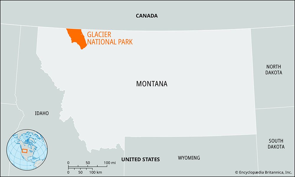
Glacier National Park, located in the northern Rocky Mountains of Montana, is defined by its dramatic, glacially carved landscape. The park straddles the…
What are the unique geographical features of Glacier National Park?
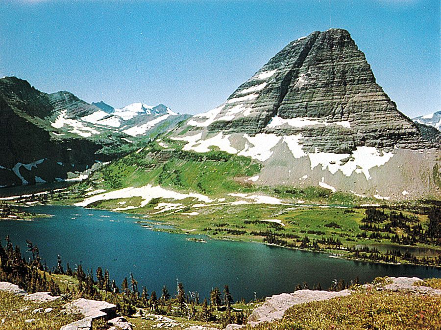
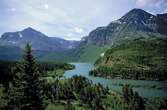
Glacier National Park, located in the northern Rocky Mountains of Montana, is defined by its dramatic, glacially carved landscape. The park straddles the Continental Divide, which serves as the boundary between drainage systems flowing toward the Pacific Ocean and those heading toward Hudson Bay and the Mississippi River.1
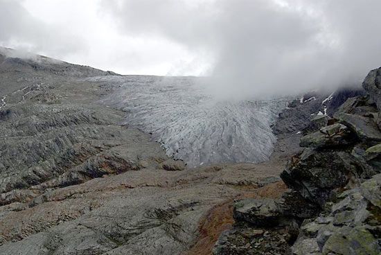
The region is actively sculpted by approximately 50 glaciers, which have created distinct geological formations, including:
- Cirques: Amphitheater-shaped basins with steep walls.1
- Arêtes: Narrow, jagged ridges formed by glacial erosion on both sides, such as the Garden Wall.1
- Hanging Valleys: Elevated valleys from which waterfalls descend.1
The park’s topography ranges from prairie grasslands in the east to steep, forested western slopes, with Mount Cleveland standing as the highest point at 10,466 feet (3,190 meters). About one-third of the park’s 1,583 square miles lies above the timberline, supporting diverse alpine meadows and rugged mountain terrain.1
What is the cultural significance of Glacier National Park to Native American tribes in the region?
The area now designated as Glacier National Park holds deep historical and cultural significance for Indigenous peoples, particularly the Salish and Blackfoot nations, who inhabited the region long before the park’s establishment in 1910.1
For the Blackfoot Confederacy, the land was part of a vast territory that extended to the headwaters of the Missouri River. The mountains and valleys were integral to their traditional way of life, which included seasonal migrations and reliance on the region’s natural resources. The cultural connection to this landscape was significantly altered in 1896, when the Blackfeet in the United States ceded the mountainous portion of their land—now Glacier National Park—to the federal government in exchange for annuities.4
While the park is celebrated today for its scenic wilderness, it remains a site of historical dispossession for the Blackfeet Nation, whose reservation borders the park to the east. The transition of these lands into a national park reflects a complex history of federal policy, land cessions, and the displacement of Indigenous populations from their ancestral territories.14
What types of accommodations and visitor services are available within the park?
Within Glacier National Park, visitor services and accommodations are rooted in a history of early 20th-century tourism development.
Accommodations
Following the park’s establishment in 1910, the Great Northern Railway constructed a network of hotels and smaller lodges, known as chalets, to support tourism. While many of these were historically accessible only by hiking or horseback, only a small number of these original structures remain in use today.1
Visitor Services
The park provides several resources to assist guests in navigating its 1,583 square miles:
- Visitor Centers: There are three visitor centers located within the park to provide information and orientation. Notably, two of these centers operate exclusively during the summer season.1
- Transportation: The 50-mile Going-to-the-Sun Road serves as a primary artery for visitors, offering scenic access to the park’s interior. Please note that the high-country sections of this road are typically only open from mid-June to mid-September.1
- Recreational Infrastructure: The park maintains 700 miles of trails, supporting activities such as hiking, backpacking, and camping.1
What are some of the most popular hiking trails and scenic drives in Glacier National Park?
Glacier National Park offers extensive opportunities for outdoor recreation across its 1,583 square miles of Rocky Mountains terrain.
Scenic Drives
The primary scenic route in the park is the Going-to-the-Sun Road. Dedicated in 1933, this 50-mile road traverses the park and provides visitors with spectacular views of alpine meadows, glacial lakes, and rugged mountain peaks. Due to heavy snowfall, the high-country section of this road is typically accessible only during the summer season, from mid-June to mid-September.1
Hiking Trails
The park features an expansive network of 700 miles of trails, catering to both casual hikers and experienced backpackers. These trails allow visitors to explore diverse ecosystems, ranging from dense forests of cedar and hemlock to high-elevation alpine meadows filled with wildflowers like bear grass and glacier lilies. While the park does not specify individual trail names in its general overview, the trail system is designed to showcase the park’s unique glacial features, including cirques and arêtes, such as the famous Garden Wall.1
Sources
- Glacier National Park — Encyclopædia Britannica
- Glacier Bay National Park and Preserve — Encyclopædia Britannica
- Glacier National Park — Encyclopædia Britannica
- Blackfoot — Encyclopædia Britannica
Published on · 3 min read