Great Miami River
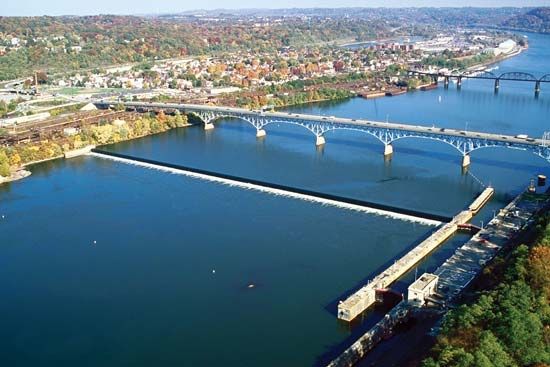
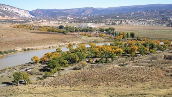
The Great Miami River is a 170-mile (274 km) waterway in west-central Ohio, U.S. It originates at Indian Lake in Logan County and flows in a south-southwest…
What is Great Miami River?
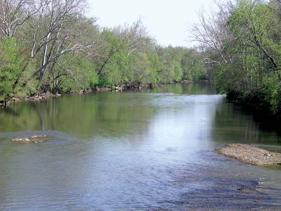
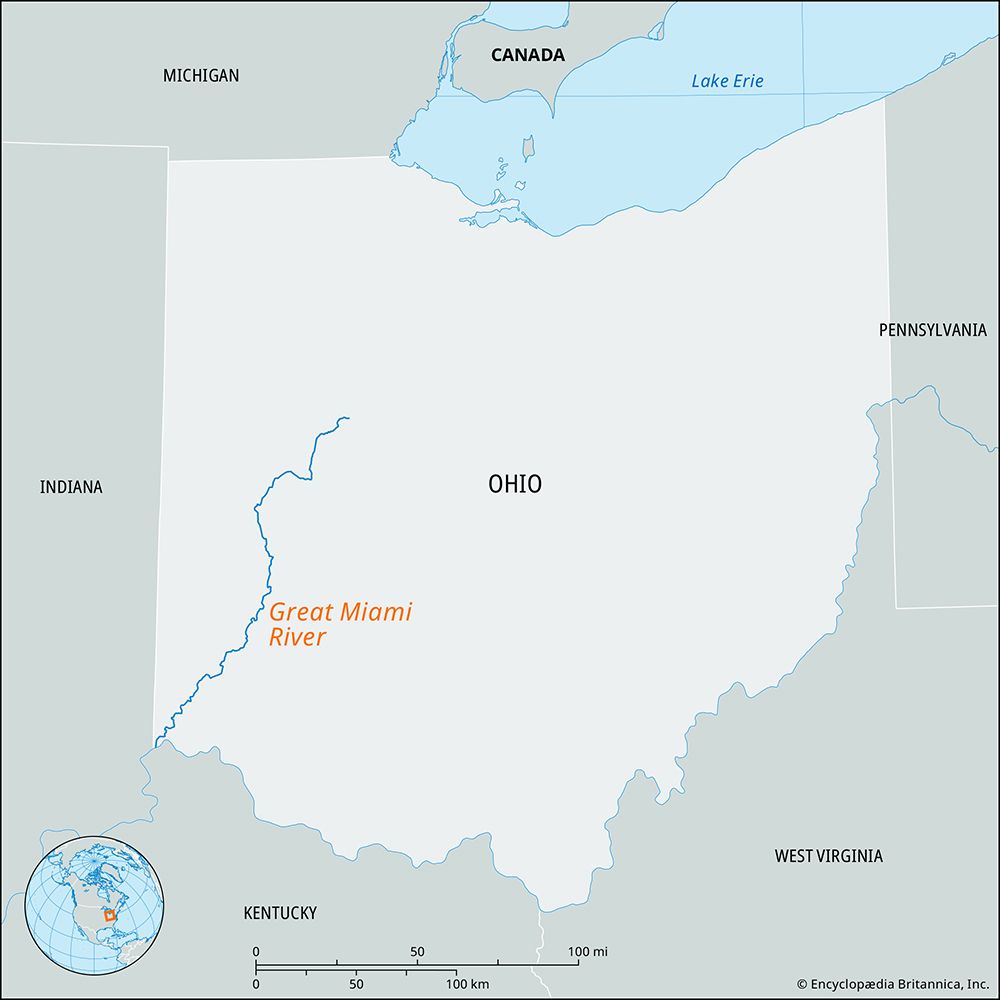
The Great Miami River is a 170-mile (274 km) waterway in west-central Ohio, U.S. It originates at Indian Lake in Logan County and flows in a south-southwest direction, passing through the cities of Dayton, Middletown, and Hamilton before joining the Ohio River west of Cincinnati.1
The river’s primary tributaries include the Mad, Whitewater, and Stillwater rivers. Following a devastating flood in 1913, the Miami Conservancy District was formed in 1915 to manage the valley’s water levels, leading to the construction of a comprehensive system of levees and retarding basins.12
What caused the Great Flood of 1913 in Ohio?
The Great Flood of 1913 in Ohio was primarily caused by an unprecedented and prolonged period of heavy rainfall across the region. This extreme weather event overwhelmed the capacity of the Great Miami River and its tributaries, leading to catastrophic inundation throughout the river valley, particularly in cities like Dayton.
The scale of this disaster prompted a significant shift in regional water management. In response to the destruction, the Miami Conservancy District was established in 1915 to implement a comprehensive flood-control system, which included the construction of levees and retarding basins to mitigate the risk of future flooding.1
How do levees and retarding basins prevent flooding?
Levees and retarding basins are essential components of flood control systems designed to manage water levels and protect surrounding areas from inundation.
Levees
A levee is a low ridge or earthen embankment constructed along the edges of a river channel. By physically walling in the river, levees prevent floodwaters from spilling over onto adjacent floodplains. These structures must be built wide enough to withstand saturation without collapsing or eroding. To maintain their integrity, they are often reinforced with matlike vegetation, such as grass, to minimize erosion from high-water flows.3
Retarding Basins and Flood Management
Retarding basins function as storage areas that capture excess water during peak flow periods, effectively “starving” the river of flood volume. In integrated systems, these basins work alongside other structures like:
- Spillways: Channels that divert excess water away from populated areas or toward reservoirs.4
- Fuse Plugs: Specially weakened sections of a levee designed to breach intentionally, allowing water to drain into designated floodways or reservoirs when the main system is threatened.4
While these engineered structures are vital for protection, they can alter a river’s natural hydrology, sometimes isolating rivers from their floodplains or requiring additional infrastructure like pumping stations to manage trapped water.4
What is the role of the Ohio River in the region’s geography?
The Ohio River serves as a vital geographic and commercial artery for the east-central United States. Formed by the confluence of the Allegheny and Monongahela rivers, it flows 981 miles to join the Mississippi River, acting as a significant drainage basin for 203,900 square miles of land.6
In terms of regional geography, the river marks several state boundaries, including those between Ohio and West Virginia, Ohio and Kentucky, and Indiana and Kentucky. It serves as the southern boundary for the state of Ohio, where its confluence with the Miami River near Cincinnati marks the state’s lowest elevation point.67
Historically and economically, the river has been essential for settlement and commerce. It is a navigable waterway that supports the transport of coal, oil, steel, and manufactured goods. While it has historically been prone to flooding, federal flood-control dams have been implemented to manage its flow. The river also serves as the primary drainage system for much of Ohio, receiving water from major tributaries like the Muskingum, Scioto, and Miami rivers.68
Sources
- Great Miami River — Encyclopædia Britannica
- Stillwater River — Encyclopædia Britannica
- levee — Encyclopædia Britannica
- Mississippi River - Flood control — Encyclopædia Britannica
- levees — Merriam-Webster
- Ohio River — Encyclopædia Britannica
- Ohio - Relief — Encyclopædia Britannica
- Ohio - Land — Encyclopædia Britannica
- Ohio - Drainage — Encyclopædia Britannica
Published on · 3 min read