Green River
The Green River is a critical component of the Colorado River system, serving as one of its primary tributaries. Rising in the Wind River Range of Wyoming…
How does the Green River contribute to the Colorado River system, and what is its importance in the water supply of the southwestern United States?
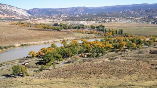
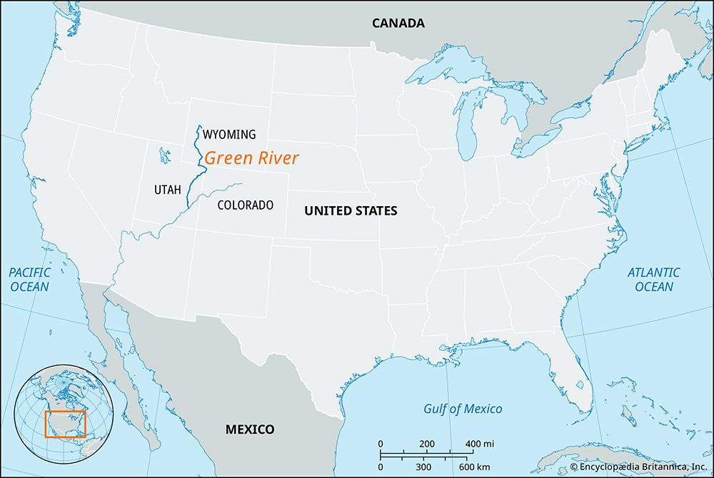
The Green River is a critical component of the Colorado River system, serving as one of its primary tributaries. Rising in the Wind River Range of Wyoming, it flows for 730 miles through Wyoming, Colorado, and Utah before joining the Colorado River in Canyonlands National Park.1
Its importance to the water supply of the southwestern United States is defined by its role in regional water management and storage. The river is home to the Flaming Gorge Dam, a major multipurpose project that impounds water for the upper basin states—Wyoming, Utah, Colorado, and New Mexico. These states rely on the Colorado River system for irrigation, hydroelectric power, and municipal water needs.2
Because the Colorado River basin is heavily over-apportioned and faces increasing pressure from drought and climate change, the management of tributaries like the Green River is essential for balancing the competing demands of agriculture, urban centers, and environmental protection.2
How has the Green River been significant in the exploration and settlement of the American West?
The Green River played a pivotal role in the exploration and settlement of the American West, serving as a vital corridor for trappers, explorers, and pioneers.
Early Exploration and Trade
In the early 19th century, the Green River became a central hub for mountain men—pioneers and fur trappers who explored the Rocky Mountain West. The river was the site of the famous summer rendezvous, an institution that combined trade and recreation for trappers, traders, and Indigenous peoples. Additionally, the river was a key feature of the old Spanish Trail, an overland route that connected Los Angeles and Santa Fe, facilitating early travel across the region.14
Scientific and Geographic Significance
The river served as the starting point for the historic 1869 expedition led by John Wesley Powell. Departing from Green River Station, Wyoming, Powell’s party navigated the Green and Colorado rivers to produce the first reliable maps of the region and document its geology and Indigenous cultures.35
Settlement and Infrastructure
The arrival of the Union Pacific Railroad in 1868 transformed the town of Green River, Wyoming, into a major distribution point and trade center. Similarly, the city of Green River, Utah, developed near a historic river crossing, eventually becoming a focal point for agricultural development and the study of the region’s exploration history.54
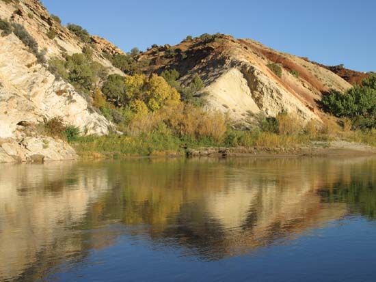
Where does the Green River originate, and through which states does it flow?
The Green River originates on the Continental Divide within the Wind River Range in west-central Wyoming.1
During its 730-mile course, the river flows through three states:
- Wyoming: It flows south through the southwestern part of the state.1
- Colorado: The river makes a loop into the northwestern portion of the state, passing through the Canyon of Lodore in Dinosaur National Monument.1
- Utah: After entering from Colorado, it continues generally southwest and southeast before joining the Colorado River in Canyonlands National Park.1
What are the major geological features along the Green River’s course?
The Green River carves through diverse and dramatic landscapes, creating significant geological features along its 730-mile course.
Canyons and Plateaus
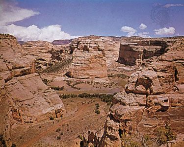
As the river traverses the Uinta Plateau, it cuts through approximately 20 tilted and highly colored geologic formations, exposing 20,000 feet of strata in deeply incised meanders. Notable canyons along its path include:1
- Canyon of Lodore: Located within Dinosaur National Monument, this canyon showcases the river’s power in cutting through ancient rock layers.71
- Gray and Labyrinth Canyons: These canyons flank the city of Green River, Utah, and represent the river’s ongoing erosion of the desert landscape.3
Confluence and Erosion
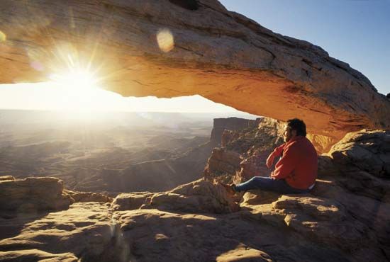
In Canyonlands National Park, the Green River joins the Colorado River, surrounded by a wilderness of water-eroded sandstone features. Key formations here include:8
- Island in the Sky: A massive, level sandstone mesa situated between the two rivers, featuring the White Rim, a continuous bench located 1,200 feet below the mesa top.8
- Upheaval Dome: A sheer-walled crater 1 mile wide and 1,500 feet deep, believed to be either a salt dome or the result of a meteorite impact.8
- The Needles: An area characterized by red- and white-banded rock pinnacles, balanced rock formations, and grabens (elongated fault blocks) that have created deep canyons.8
Sources
- Green River — Encyclopædia Britannica
- Colorado River - Economic development — Encyclopædia Britannica
- Green River — Encyclopædia Britannica
- John Wesley Powell — Encyclopædia Britannica
- Green River — Encyclopædia Britannica
- mountain man — Encyclopædia Britannica
- Dinosaur National Monument — Encyclopædia Britannica
- Canyonlands National Park — Encyclopædia Britannica
Published on · 3 min read