Grossglockner
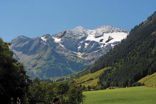
The Grossglockner is the highest peak in Austria, reaching an elevation of 12,460 feet (3,798 meters). Located within the Hohe Tauern range of the Eastern…
What is Grossglockner?
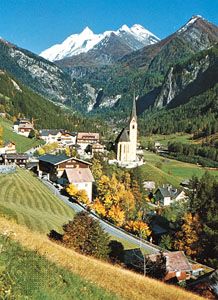
The Grossglockner is the highest peak in Austria, reaching an elevation of 12,460 feet (3,798 meters). Located within the Hohe Tauern range of the Eastern Alps, the mountain sits on the border between the federal states of Tirol and Kärnten.12
The peak is renowned for the Pasterze Glacier, which is the most significant glacier in the area. Visitors often access the region via the Grossglockner-Hochalpenstrasse, a scenic highway opened in 1935 that features tunnels and a branch road leading to the base of the glacier. First climbed in 1800, the mountain remains a popular destination for mountain climbing and winter sports.1
What is the Pasterze Glacier?
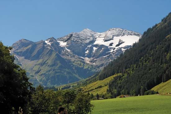
The Pasterze Glacier is the most significant glacier located on the Grossglockner, the highest mountain in Austria. Situated within the Hohe Tauern range of the Eastern Alps, the glacier spans approximately 5 miles (8 km) in length and 3 miles (5 km) in width.1
It serves as a major tourist attraction in the region, accessible via a branch road from the Grossglockner-Hochalpenstrasse, a scenic highway that connects the towns of Dölfach and Heiligenblut.1
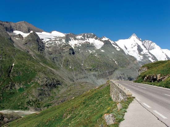
How was the Grossglockner High Alpine Road built?
The Grossglockner-Hochalpenstrasse was opened in 1935 to provide a vital connection between Dölfach in the north and Heiligenblut in the south. The construction of this engineering feat involved the creation of two significant tunnels, the Mitteltörl and the Hochtor, which allow the road to traverse the challenging terrain of the Hohe Tauern range. Additionally, a branch road was constructed to provide access to the base of the Pasterze Glacier, enhancing the area’s accessibility for tourism.1
What are the Hohe Tauern mountains?
The Hohe Tauern is a prominent segment of the Eastern Alps located in southern Austria. Stretching approximately 70 miles (110 km), the range extends between the Zillertal Alps to the west and the Katschberg Pass to the east, spanning the border between the federal states of Tirol and Kärnten.31
The region is characterized by its lofty peaks, most notably the Grossglockner, which stands at 12,460 feet (3,798 meters) and serves as the highest point in Austria. The area is a well-known destination for mountain climbing and skiing.34
Transportation through the rugged terrain is facilitated by several key routes, including the Felber Tauern Tunnel and the Hochtor Tunnel. Additionally, a railroad line constructed between 1901 and 1909 utilizes the 5-mile-long Tauern Tunnel to connect the towns of Spittal an der Drau and Schwarzach im Pongau.3
Sources
- Grossglockner — Encyclopædia Britannica
- Grossglockner — Merriam-Webster
- Hohe Tauern — Encyclopædia Britannica
- Hohe Tauern — Merriam-Webster
Published on · 2 min read