Guinea Highlands
The Guinea Highlands, a mountainous plateau extending across parts of Guinea, Sierra Leone, Liberia, and Côte d’Ivoire, play a significant role in the…
How do the Guinea Highlands impact the climate and rainfall patterns in West Africa?
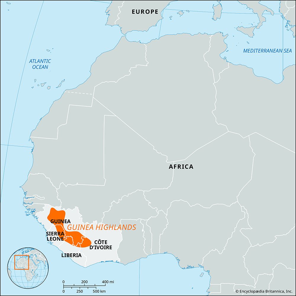
The Guinea Highlands, a mountainous plateau extending across parts of Guinea, Sierra Leone, Liberia, and Côte d’Ivoire, play a significant role in the regional climate of West Africa.
As a prominent landform, the highlands influence local weather through orographic precipitation. When moist, maritime tropical air masses—which move northward from the South Atlantic—encounter the elevated terrain of the highlands, the air is forced upward. As this air rises and cools, it produces clouds and consistent rainfall. Consequently, the region is well-watered, with precipitation occurring throughout most of the year, supporting humid savanna and rainforest ecosystems.123
Beyond local rainfall, the highlands serve as a critical hydrological divide for West Africa. They act as the source for major river systems, including the Niger River, which flows northeastward, and various streams that drain southwestward toward the Atlantic coast. This elevation-driven drainage pattern is essential to the water supply for much of the surrounding region.34
What indigenous cultures or ethnic groups inhabit the Guinea Highlands region?
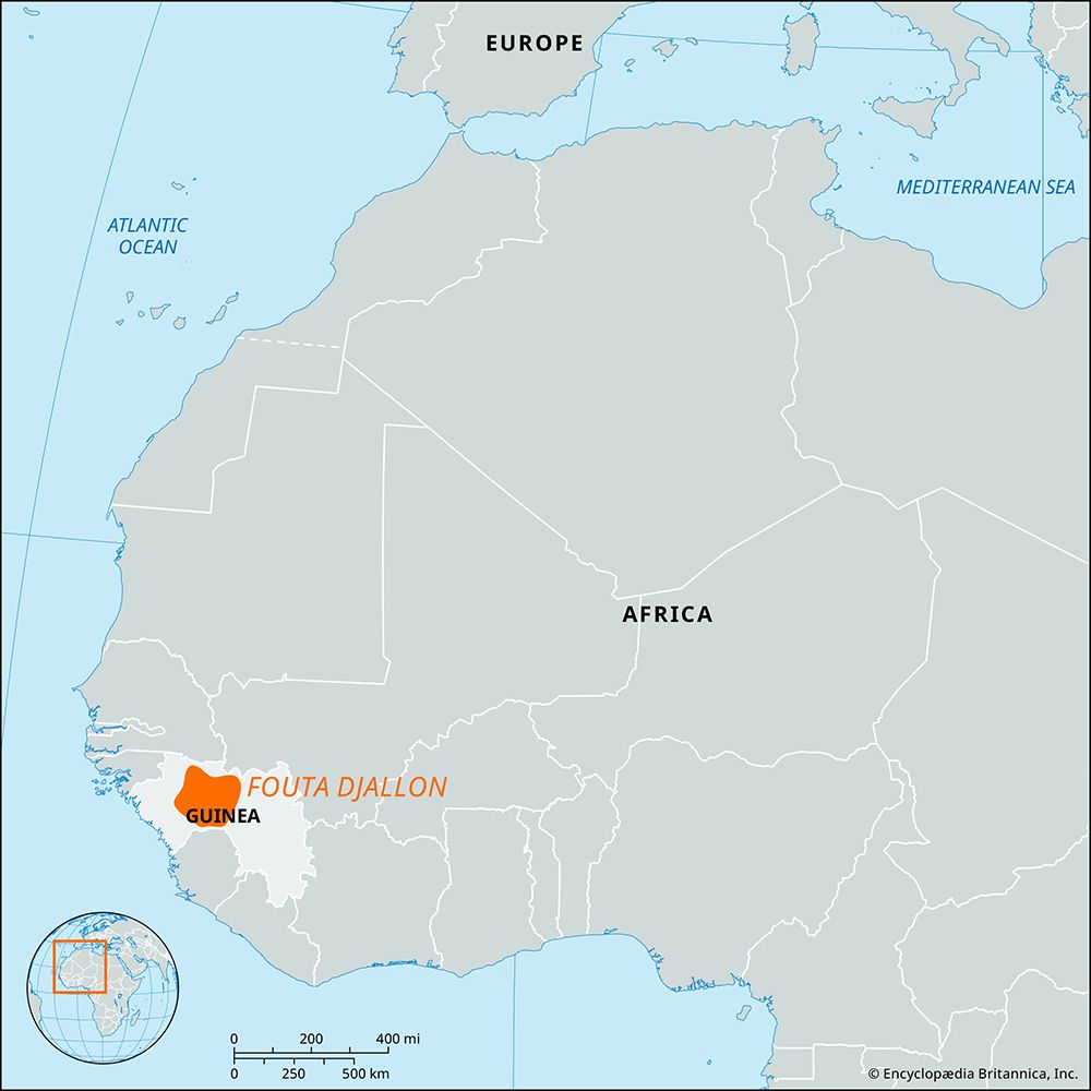
The Guinea Highlands and the adjacent Fouta Djallon plateau are home to diverse ethnic groups, with settlement patterns often corresponding to specific linguistic and geographic regions.
In the Forest Region of the Guinea Highlands, the primary indigenous groups include the Kpelle (also known as Guerzé), the Loma (Toma), and the Kisi people. These groups have historically established small, often secluded villages nestled within groves or on hillside terraces, where they engage in agriculture, including the cultivation of rice, coffee, and kola nuts.678
The Fouta Djallon region is primarily inhabited by the Fulani (Fulbe) people, who have a long history in the area and are known for herding Ndama cattle7. The region also has historical ties to the Malinke people, who are more widespread in Upper Guinea. Additionally, the Basari people are noted for residing in the rocky highlands of the Fouta Djallon.76910
These groups maintain distinct cultural traditions, though the region has also seen an increase in diverse populations, including traders and refugees from neighboring countries, which has contributed to the area’s ethnic complexity.611
What is the average elevation of the Guinea Highlands?
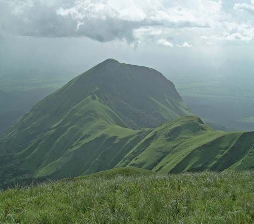
The Guinea Highlands consist of a mountainous plateau that averages more than 1,500 feet (460 meters) in elevation.4
While this figure represents the average elevation of the plateau, the region is characterized by several prominent mountain ranges that rise significantly above this surface. Notable peaks include:
- Mount Loma Mansa (Bintimani): 6,391 feet (1,948 meters)4
- Sankanbiriwa: 6,080 feet (1,853 meters)4
- Mount Nimba: 5,748 feet (1,752 meters)412
What are the main geographical features of the Guinea Highlands?
The Guinea Highlands are a mountainous plateau characterized by several distinct geographical features:
Geological Composition and Elevation
The region is composed primarily of granitic gneisses and quartzite. It maintains an average elevation of more than 1,500 feet (460 meters), though it is punctuated by several significant mountain ranges that rise well above the plateau surface. Notable peaks include:4
- Mount Loma Mansa (Bintimani): 6,391 feet (1,948 meters), located in the Loma Mountains.4
- Sankanbiriwa: 6,080 feet (1,853 meters), situated in the Tingi Mountains.4
- Mount Nimba: 5,748 feet (1,752 meters), located in the Nimba Range along the border of Guinea, Côte d’Ivoire, and Liberia.412
Hydrology
The highlands serve as a critical drainage divide for western Africa. It is the source of the Niger River, as well as several of its major tributaries, including the Milo and Sankarani rivers. The region effectively separates streams flowing northward toward the Niger from those flowing southward to the Atlantic Ocean.4
Climate and Vegetation
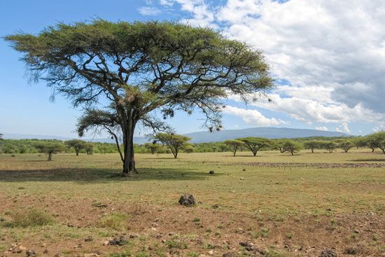
The area is well-watered with consistent precipitation throughout the year. This supports a landscape of humid savanna and variegated rainforests, which contain diverse tree species such as mahogany, ebony, and teak.4
Sources
- Guinea - Climate — Encyclopædia Britannica
- Orographic precipitation — Encyclopædia Britannica
- Ghana - Climate — Encyclopædia Britannica
- Guinea Highlands — Encyclopædia Britannica
- Guinea - Drainage and soils — Encyclopædia Britannica
- Guinea - Ethnic groups and languages — Encyclopædia Britannica
- Fouta Djallon — Encyclopædia Britannica
- Sierra Leone - Ethnic groups — Encyclopædia Britannica
- Senegal - Ethnic groups — Encyclopædia Britannica
- Guinea - Settlement patterns — Encyclopædia Britannica
- Kissidougou — Encyclopædia Britannica
- Guinea - Relief — Encyclopædia Britannica
Published on · 3 min read