Humboldt River
The Humboldt River features the Rye Patch Dam, which was constructed in 1936 and later enlarged in 1976. This dam creates the Rye Patch Reservoir, located…
Are there any dams or reservoirs along the Humboldt River, and what purposes do they serve?
The Humboldt River features the Rye Patch Dam, which was constructed in 1936 and later enlarged in 1976. This dam creates the Rye Patch Reservoir, located approximately 26 miles upstream from Lovelock, Nevada.1
While the provided information confirms the existence of this specific dam and reservoir, it does not explicitly detail their primary purposes, such as irrigation or flood control. More broadly, water management in Nevada is a critical issue, as the state faces increasing demands from urbanization, industry, and agriculture that are exhausting available groundwater and surface water resources.2
What is the length of the Humboldt River and how does it compare to other rivers in Nevada?
The Humboldt River has a course of approximately 300 miles (480 km). It holds the distinction of being the largest river in Nevada and provides the state’s only major east-west drainage system.12
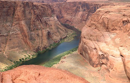
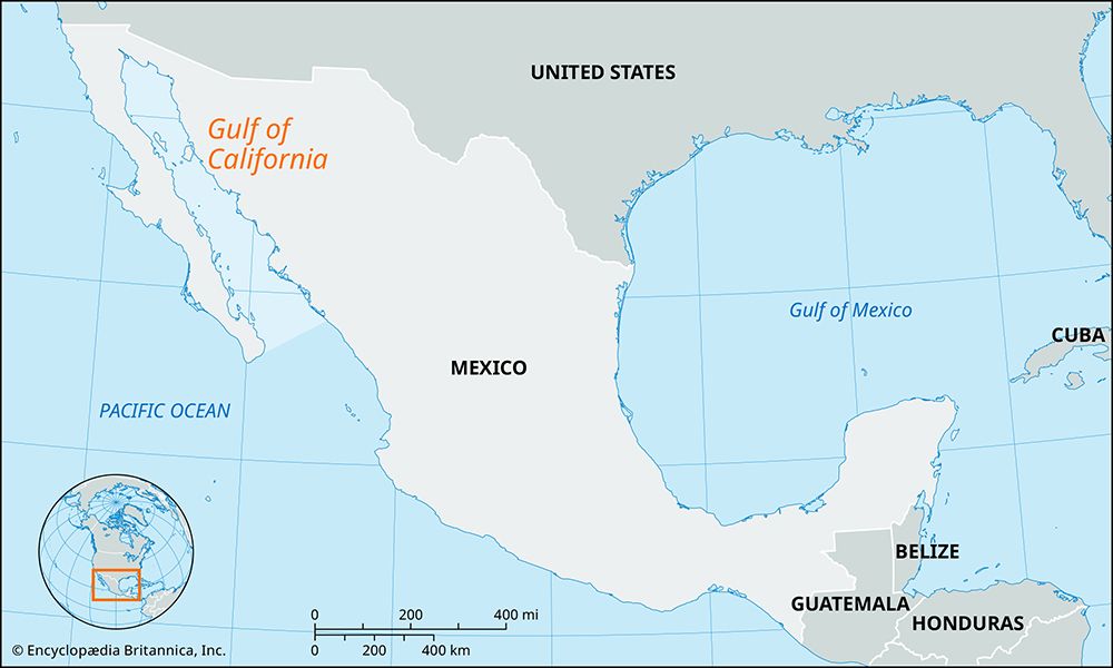
In comparison to other rivers in the state, the Humboldt is significantly longer than many of its counterparts. For instance, the Carson River, which serves vital irrigation and reclamation projects in western Nevada, flows for 125 miles (200 km). Unlike the Humboldt, which flows entirely within Nevada, rivers such as the Truckee, Carson, and Walker rise in the Sierra Nevada mountains of California. Furthermore, while the Humboldt terminates in an intermittently dry lake bed, the Muddy and Virgin rivers in southern Nevada are part of the Colorado River system, which eventually drains into the Gulf of California.32
Where does the Humboldt River originate and where does it end?
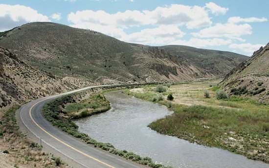
The Humboldt River originates in north-central Nevada through the confluence of its East and North forks. Its headwaters rise within the Humboldt National Forest, specifically fed by the Ruby, Jarbidge, Independence, and East Humboldt mountain ranges.1
The river flows for approximately 300 miles (480 km) in a generally west and southwest direction. It eventually terminates in the Humboldt Lake (also known as the Humboldt Sink), which is an intermittently dry lake bed located near the Humboldt Range that has no outlet.1
What is the historical significance of the Humboldt River in Nevada’s development?
The Humboldt River has played a pivotal role in the development of Nevada by serving as the state’s only major east-west drainage system. Its historical significance is defined by its function as a vital corridor for westward expansion:12
- Emigrant Trail: During the 19th century, the river provided a crucial route for pioneers traveling from Salt Lake City to California, a path that became heavily trafficked following the 1848 gold discovery.1
- Transportation Infrastructure: Following the completion of the transcontinental railroad in 1869, the river valley became a primary east-west rail corridor. Today, this route serves as the foundation for Interstate 80, maintaining its status as a critical transportation artery.1
- Water Management: The river remains essential for regional agriculture and resource management, supported by infrastructure such as the Rye Patch Dam, which helps manage water supplies in an arid environment where surface water is scarce.12
We could dive deeper into the specific challenges early pioneers faced while navigating the Humboldt River or examine the broader history of water rights in Nevada.
Sources
- Humboldt River — Encyclopædia Britannica
- Nevada - Drainage — Encyclopædia Britannica
- Carson River — Encyclopædia Britannica
Published on · 2 min read