Inga Falls
The Inga Falls, located on the lower Congo River in the Democratic Republic of the Congo, feature an average water flow rate of approximately 1,500,000 cubic…
What is the average water flow rate of the Inga Falls?
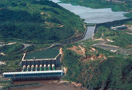
The Inga Falls, located on the lower Congo River in the Democratic Republic of the Congo, feature an average water flow rate of approximately 1,500,000 cubic feet (43,000 cubic meters) per second.1
This massive volume of water makes the site a significant location for hydroelectric power development, including the existing dam projects and the proposed “Grand Inga” scheme.1
What are the main tributaries that feed into the Congo River at Inga Falls?
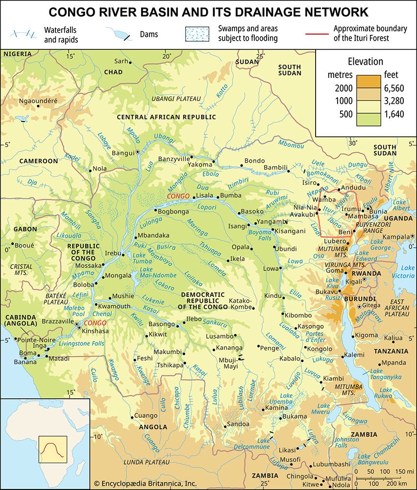
The Inga Falls are located on the lower Congo River at a sharp bend between Sikila Island and the mouth of the Bundi River. The Bundi River is a tributary of the Congo that joins the main river in the immediate vicinity of the falls.1
While the Congo River is fed by a vast, complex network of tributaries throughout its basin, such as the Ubangi and the Kasai, these major rivers join the Congo much further upstream. By the time the Congo reaches the Inga Falls, it is a singular, massive channel carrying the combined discharge of its entire upstream network.12
Where are the Inga Falls located within the Democratic Republic of Congo?
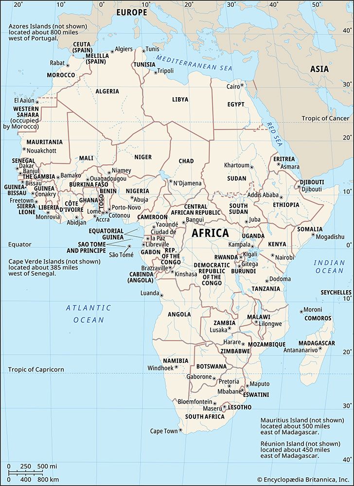
The Inga Falls are situated in the western region of the Democratic Republic of the Congo. They are located on the lower Congo River, approximately 25 miles (40 km) upstream from the port city of Matadi.1
Geographically, the falls occur at a sharp bend in the river positioned between Sikila Island and the mouth of the Bundi River. At this location, the river drops 315 feet (96 m) over a 9-mile (14-km) stretch, serving as a critical site for large-scale hydroelectric power development.1
What is the historical significance of Inga Falls to the people of Congo?
The historical significance of Inga Falls to the people of the Democratic Republic of the Congo lies primarily in its role as a massive, yet largely unrealized, engine for national development and hydroelectric power. Since the country’s independence, the site has been the focus of major infrastructure projects, specifically the Inga I and Inga II dams, completed in 1972 and 1982, respectively.167
These projects were designed to support critical national interests, including powering uranium-enrichment facilities and supplying electricity to the industrial hubs of Katanga province. Despite this, the falls represent a paradox: while they hold the potential to generate over 30,000 megawatts—amounting to a significant portion of the world’s hydroelectric resources—the majority of the Congolese population remains without reliable access to electricity, often relying on firewood for domestic fuel. The ambitious “Grand Inga” scheme remains a symbol of the country’s long-term aspirations to harness this natural power to transform its economy.671
Sources
- Inga Falls — Encyclopædia Britannica
- Congo basin — Encyclopædia Britannica
- Congo River — Encyclopædia Britannica
- Africa - Congo basin — Encyclopædia Britannica
- Congo River - Hydrology of the Congo River — Encyclopædia Britannica
- Democratic Republic of the Congo - Manufacturing — Encyclopædia Britannica
- Congo River - Power — Encyclopædia Britannica
- Livingstone Falls — Encyclopædia Britannica
Published on · 2 min read