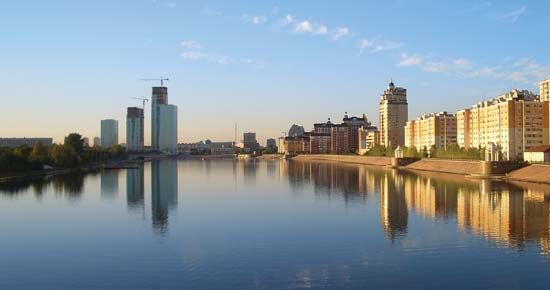
Irtysh River
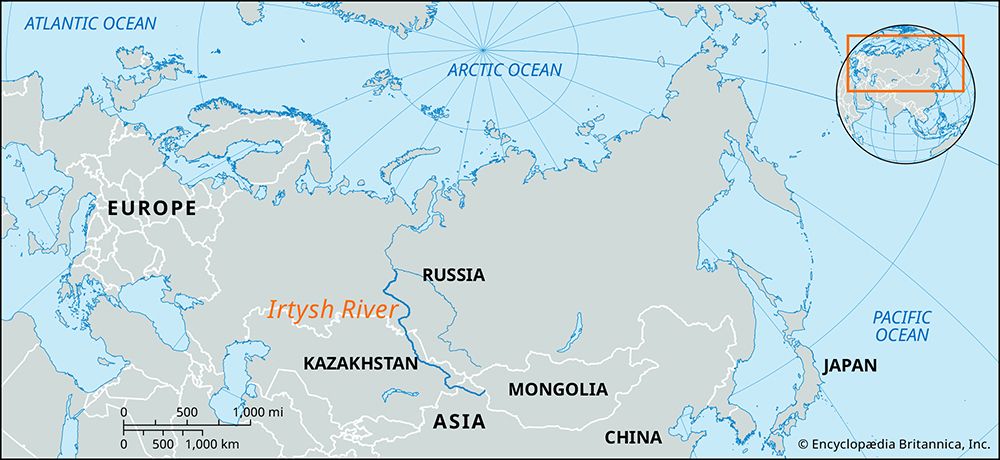
The Irtysh River serves as a vital economic artery for China, Kazakhstan, and Russia, primarily through navigation, energy production, and industrial support.
What is the economic importance of the Irtysh River for the countries it passes through?
The Irtysh River serves as a vital economic artery for China, Kazakhstan, and Russia, primarily through navigation, energy production, and industrial support.
Navigation and Transport
The river is navigable for most of its course, functioning as a key transportation route for both imports and exports. Major river ports, including Omsk, Tobolsk, Pavlodar, and Semey, facilitate regional trade. Furthermore, the Trans-Siberian Railway crosses the Irtysh at Omsk, linking the river’s logistics to broader continental rail networks.12
Energy and Industry
The Irtysh is a significant source of hydroelectric power. Major stations at Öskemen and Bukhtarma in Kazakhstan contribute to the region’s energy infrastructure. Additionally, the river’s tributaries support specific industrial needs; for instance, the Tobol River provides water for the iron-ore industry in Rudnyy, Kazakhstan.123
Agriculture and Water Supply
The river system is essential for agricultural development. Water mains from the Ishim River (a tributary) supply farm settlements in Kazakhstan, while the broader basin supports intensive agricultural production, including spring wheat in the southern zones.42
What are some of the major cities located along the Irtysh River?
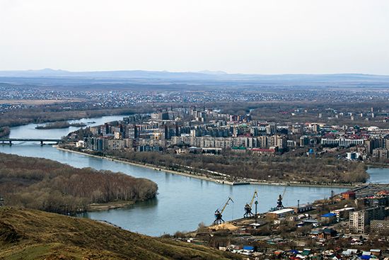
Several major cities are situated along the Irtysh River, serving as key industrial and transportation hubs across Kazakhstan and Russia.
Cities in Kazakhstan
- Öskemen: Located in the mountainous reaches of the river, this city is home to a significant hydroelectric station.12
- Semey: A major city situated along the river’s course before it enters the West Siberian Plain.1
- Pavlodar: A prominent industrial center and river port known for its chemical, aluminum, and tractor plants, as well as an oil refinery.15
Cities in Russia
- Omsk: A major industrial and manufacturing center where the Trans-Siberian Railway crosses the river.12
- Tobolsk: An important river port located at the confluence of the Irtysh and Tobol rivers.13
- Khanty-Mansiysk: A river port situated near the point where the Irtysh joins the Ob River.1
- Tara: Another significant river port located along the Irtysh.1
How is the water from the Irtysh River used for irrigation and agriculture in the region?
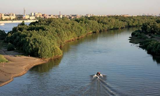
While the Irtysh River is a massive water resource, its direct use for large-scale irrigation in the region is limited. In the late 1970s, Soviet authorities proposed an ambitious plan to divert Irtysh water to irrigate arid regions of Kazakhstan and Uzbekistan; however, this project was abandoned in 1986 due to the immense financial investment required and significant concerns regarding potential ecological damage.2
Consequently, southern and western Kazakhstan remain in need of additional water resources for agriculture. While the main stem of the Irtysh is not currently the primary source for large-scale irrigation projects, its tributary, the Ishim River, plays a more localized role in water distribution. Large water mains originating from the Sergeyevka Reservoir on the Ishim carry water to various farm settlements across northern and northwestern Kazakhstan, supporting local agricultural needs.26
What is the length of the Irtysh River, and how does it compare to other major rivers in Asia?
The Irtysh River has a length of 2,640 miles (4,248 km), making it one of the longest rivers in Asia.1
While it is the principal tributary of the Ob River, the two are often considered together as a single system. When the Irtysh is measured from the source of the Black Irtysh in China to the mouth of the Ob, the total length of the Ob–Irtysh system reaches 3,362 miles (5,410 km). This combined length ranks it as the seventh longest river system in the world and one of the most significant in Asia.178
In comparison to other major Asian rivers, the Ob–Irtysh system is shorter than the Yangtze (3,915 miles) and the Yenisey–Baikal–Selenga system (3,442 miles), but it remains a dominant hydrological feature of the continent, draining a vast portion of western Siberia and Central Asia.178
Sources
- Irtysh River — Encyclopædia Britannica
- Ishim River — Encyclopædia Britannica
- Tobol River — Encyclopædia Britannica
- Ob River - Economy — Encyclopædia Britannica
- Pavlodar — Encyclopædia Britannica
- Kazakhstan - Drainage — Encyclopædia Britannica
- Ob River — Encyclopædia Britannica
- world’s longest rivers — Encyclopædia Britannica
Published on · 3 min read