Chulym River
The Chulym River is a significant waterway located in the Krasnoyarsk kray and Tomsk oblast regions of Russia. As the longest right-bank tributary of the Ob…
What is Chulym River?
The Chulym River is a significant waterway located in the Krasnoyarsk kray and Tomsk oblast regions of Russia. As the longest right-bank tributary of the Ob River, it spans 1,118 miles (1,799 km) and drains a basin of 53,400 square miles (134,000 square km).1
The river originates on the northeastern slopes of the Kuznetsky Alatau Mountains, formed by the convergence of the Bely and Chyorny Iyus rivers. From there, it flows northward through mountainous terrain before turning westward and northwestward across the West Siberian Plain to meet the Ob. The lower course of the Chulym is navigable and is notable for its complex system of meanders and numerous lakes. Its primary tributaries include the Serezh, Uryup, Kiya, Bolshoy Uluy, and Kemchug.1
What is the significance of the Ob River system?
The Ob River system is of immense significance to Russia and the global economy, serving as a vital transportation artery and a powerhouse of natural resources. Stretching across western Siberia, it is one of the greatest rivers in Asia, with a catchment area that ranks as the sixth largest in the world.2
Economic and Industrial Importance
The basin is a cornerstone of the Russian economy, characterized by intensive industrial and agricultural development:
- Energy Production: The middle and lower reaches of the Ob contain the most important oil and gas fields in Russia, producing approximately two-thirds of the country’s crude oil and natural gas.3
- Agriculture: The southern steppe zone is a major producer of spring wheat.3
- Hydroelectric Power: The river system possesses immense hydroelectric potential, with major power stations located at Novosibirsk, Bukhtarma, and Öskemen.3
- Transportation: The river is a primary transport route, connecting major industrial centers like Omsk, Barnaul, and Novosibirsk to the northern sea route.3
Ecological and Physical Scale
The system is defined by its vast scale, covering about 85 percent of the West Siberian Plain. It spans diverse natural zones, ranging from southern steppe and taiga to northern tundra, and includes over 1,900 rivers.4
How do mountain ranges influence river formation?
Mountain ranges play a fundamental role in shaping river systems through tectonic activity, elevation, and the influence of glaciers. Their impact on river formation and evolution can be categorized into several key processes:
Tectonic Influence and Drainage Patterns
Mountain building, or orogenesis, creates the physical framework that dictates the direction and intensity of river flow.
- Antecedent Drainage: In many cases, rivers are older than the mountains they traverse. As mountains are uplifted, rivers may maintain their original courses if their rate of downcutting keeps pace with the tectonic rise. This process creates deep, transverse gorges and canyons that cut across the structural trends of the mountain range.56
- Superimposed Drainage: Rivers may develop on a layer of younger sediment covering a complex geologic structure. As the region is uplifted and the river entrenches, it is “let down” across the underlying resistant rock, creating canyons that appear independent of the current surface topography.6
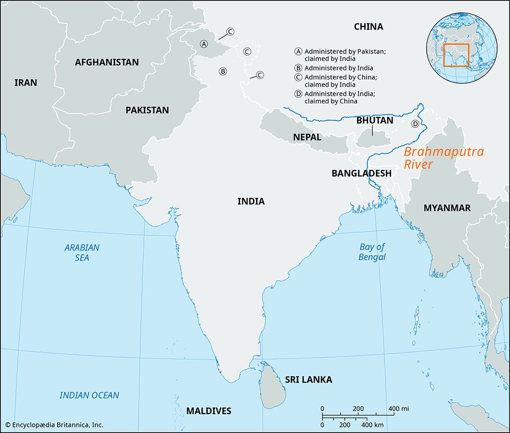
- Watersheds: Mountain ranges act as major water divides, separating different drainage basins. For example, the Karakoram Range and the Himalayas serve as critical watersheds that dictate the flow of major systems like the Indus and Brahmaputra rivers.57
Glacial and Erosional Processes
High-elevation mountain zones are primary sources for river flow, driven by the seasonal and perpetual melting of snow and glaciers perpetual melting of snow and glaciers.6
- Sediment Load: Glacial meltwater often carries high volumes of pulverized rock, known as rock flour, which contributes to the significant sediment loads found in rivers originating in glaciated mountains.7
- Valley Evolution: The interaction between river discharge and sediment load—often altered by glacial activity—determines whether a river erodes its channel or deposits material, leading to the formation of river terraces and deep valleys.8
What are the unique features of the West Siberian Plain?
The West Siberian Plain is one of the world’s largest regions of continuous flatland, covering nearly 1,200,000 square miles (3,000,000 square km) in central Russia. Its unique features include:
- Geologic Structure: The region is a vast area of the Earth’s crust that has undergone prolonged subsidence. It is composed of horizontal Cenozoic and Mesozoic sedimentary deposits, which distinguish it from the more rugged, folded mountain structures found elsewhere in Siberia.1112
- Topography and Drainage: The plain is exceptionally flat and featureless, characterized by very poor drainage. This leads to the development of extensive swamps and peat bogs, including the massive Vasyuganye Swamp at the Ob-Irtysh confluence.1113
- Resource Wealth: The lowland is underlain by an extensive oil field containing significant petroleum and natural gas deposits, making it a critical industrial hub for the Russian economy.1114
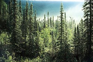
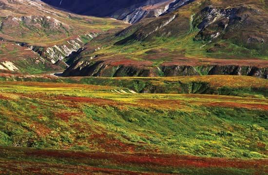
- Vegetation Zones: The plain hosts distinct latitudinal vegetation belts, ranging from tundra in the north to the vast coniferous taiga (boreal forest) and steppe in the south.111415
Sources
- Chulym River — Encyclopædia Britannica
- Ob River — Encyclopædia Britannica
- Ob River - Economy — Encyclopædia Britannica
- Ob River - Physiography — Encyclopædia Britannica
- Himalayas - Drainage of the Himalayas — Encyclopædia Britannica
- Karakoram Range - Glaciation and drainage — Encyclopædia Britannica
- river - Formation of canyons and gorges — Encyclopædia Britannica
- continental landform - Orogenic geomorphic systems — Encyclopædia Britannica
- river - Origin of river terraces — Encyclopædia Britannica
- valley - Geomorphic characteristics — Encyclopædia Britannica
- West Siberian Plain — Encyclopædia Britannica
- Arctic - Terrain of the Arctic — Encyclopædia Britannica
- Siberia — Encyclopædia Britannica
- Asia - North Asia — Encyclopædia Britannica
- Russia - Rivers — Encyclopædia Britannica
- Asia - North and Central Asia — Encyclopædia Britannica
Published on · 4 min read