Juan De Fuca Strait
The Juan de Fuca Strait serves as a significant geographic feature defining the border between the United States and Canada. The international boundary…
How does the Juan de Fuca Strait affect international relations between Canada and the United States?
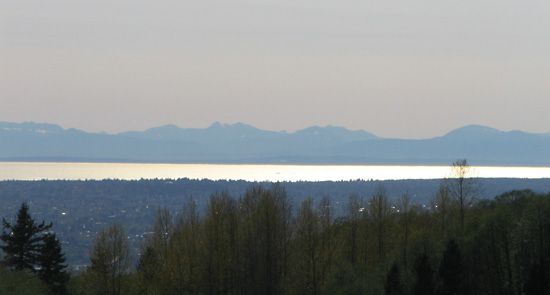
The Juan de Fuca Strait serves as a significant geographic feature defining the border between the United States and Canada. The international boundary between the two nations is situated in the mid-channel of this passage, which separates the Olympic Peninsula in Washington state from Vancouver Island in British Columbia.12
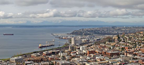
Because this waterway acts as a vital maritime corridor, it facilitates essential international commerce by serving as a primary route for ships traveling to major ports in both countries, specifically Seattle and Vancouver. The shared management of this passage requires ongoing cooperation to navigate the complexities of maritime traffic, environmental protection, and the maintenance of the international boundary line.1
What are some of the major cities and ports located along the Juan de Fuca Strait?
Several key settlements and ports are situated along the banks of the Juan de Fuca Strait, serving as vital hubs for regional activity and international maritime traffic.
- Victoria, British Columbia: Located on the northeastern shore of the strait, this city serves as the capital of the province and is a major population center on Vancouver Island.13
- Port Angeles, Washington: Situated on the southeastern shore, this city features sheltered harbor facilities that support the local fishing industry, as well as lumber and food-processing plants. It is also connected to Victoria by ferry service.14
While the strait itself is a primary transit route for ships bound for major international ports such as Seattle and Vancouver, these larger ports are located further inland, primarily within the Puget Sound region or beyond the Haro Strait to the north.156
What is the historical significance of the Juan de Fuca Strait in terms of exploration and trade?
The Juan de Fuca Strait holds significant historical importance as a focal point for early European exploration and the development of maritime trade in the Pacific Northwest. Named for a Greek navigator who sailed for Spain and may have visited the passage in 1592, the strait became a primary objective for explorers seeking the legendary Northwest Passage.17
During the late 18th century, the region attracted international attention due to the lucrative trade in sea otter skins, which were highly valued by markets in North Asia. Following reports from Captain James Cook regarding these economic opportunities, the British Admiralty dispatched George Vancouver in 1792 to map the area. His surveys, along with the arrival of American explorers and traders, shifted the region from a site of purely scientific and geographic discovery to a hub of intense commercial activity. Today, the strait remains a vital maritime corridor, serving as a critical transit route for international shipping bound for major ports like Seattle and Vancouver.721
What role does the Juan de Fuca Strait play in marine navigation and shipping?
The Juan de Fuca Strait serves as a critical maritime corridor connecting the open Pacific Ocean to major inland ports. It acts as the primary gateway for international shipping traffic bound for Seattle and Vancouver, facilitating the movement of goods through the region’s complex waterway systems.1
Navigation within the strait is characterized by challenging physical and environmental conditions:
- Bathymetry: The channel is deep, with mid-channel depths reaching 900 feet (275 m) at the Pacific entrance, though these depths decrease significantly as the passage moves eastward.1
- Tidal Dynamics: Mariners must contend with complex tidal movements, where conflicting flood and ebb tides create frequent tidal rips, particularly near points and shallows.1
- Weather: The area is subject to strong west or southwest winds, which can impact vessel transit.1
From the eastern end of the strait, vessels navigate toward their destinations via the Haro Strait to reach the Strait of Georgia or proceed toward Puget Sound to access deepwater harbors.164
We could dive deeper into the specific navigational hazards or the role of the Inside Passage in regional shipping.
Sources
- Juan de Fuca Strait — Encyclopædia Britannica
- Juan de Fuca, Strait of — Merriam-Webster
- Port Angeles — Encyclopædia Britannica
- Puget Sound — Encyclopædia Britannica
- Vancouver Island — Encyclopædia Britannica
- Haro Strait — Encyclopædia Britannica
- Oregon - The explorers — Encyclopædia Britannica
- Seattle - Early peoples and exploration — Encyclopædia Britannica
Published on · 3 min read